Exploring Södermanland
Exploring Södermanland
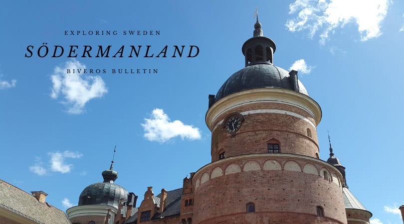
Södermanland, a historical province just south of Sweden’s capital, is a region rich in history and natural beauty. It’s often called “Sörmland.” This province is characterized by its fertile plains and stunning archipelago. Historically, Södermanland’s strategic location made it a crucial part of Sweden’s narrative since the Viking Age. Ancient runestones here tell tales of a storied past. Medieval castles like Gripsholm stand testament to centuries of royal power and intrigue. Södermanland was an important agricultural region. It also served as a vital gateway to Stockholm, connecting the Swedish interior with the Baltic Sea.
Note that the easternmost parts of the historical province of Södermanland, including areas like Södertälje and much of the southern Stockholm archipelago, now administratively belong to Stockholm County. Its provincial flower is the beautiful White Water-lily (Vit näckros), symbolizing its many lakes and waterways. Its provincial animal is the majestic Osprey (Fiskgjuse). These symbols perfectly capture Södermanland’s blend of natural serenity and powerful presence.

Population
The historical province of Södermanland has a population of approximately 1.5 million people. This figure reflects its vast extent, as it spans parts of Södermanland, Stockholm, and Östergötland counties. This makes it one of Sweden’s most populous historical provinces. Most residents live in its larger urban centers and along its coast.
- Eskilstuna: This is Södermanland’s largest city and a significant industrial center. Eskilstuna boasts a long history of metalworking and manufacturing, reflected in its industrial museum, Munktellstaden. The city blends its industrial heritage with modern development, focusing on innovation and education. It is situated on the Eskilstunaån river.
- Södertälje: Located south of Stockholm, Södertälje is a major city within the historical province. It’s a significant industrial hub, home to global companies like Scania and AstraZeneca. Södertälje is also a crucial canal city, connecting Lake Mälaren to the Baltic Sea. Its diverse population and strong economy make it a vibrant center.
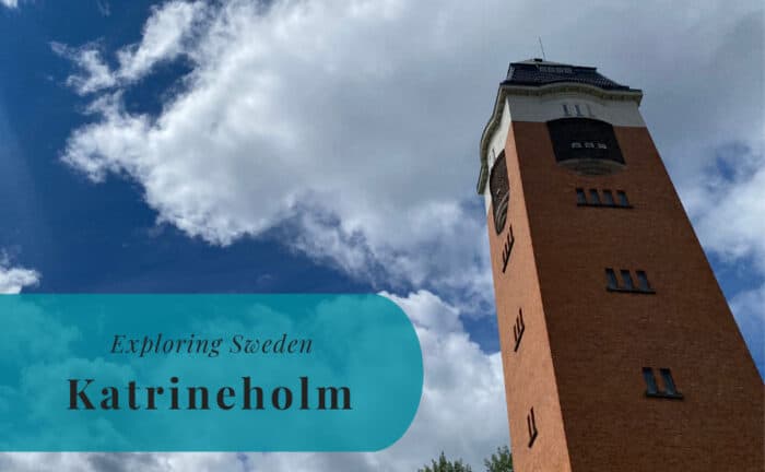
- Katrineholm: Located inland, Katrineholm is a crucial railway junction in central Sweden. This city serves as a vital logistics hub, connecting major train lines and facilitating transport across the country. Its economy is largely driven by its strategic position.
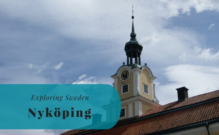
- Nyköping: The county seat of Södermanland County, Nyköping is a historic port city on the Baltic Sea coast. It is known for its well-preserved Nyköping Castle ruins, a site of significant medieval events. The city offers a charming old town, coastal beauty, and easy access to its archipelago.
- Strängnäs: This picturesque city on Lake Mälaren is famous for its magnificent medieval cathedral, which dominates the skyline. Strängnäs has a long ecclesiastical history and offers a charming small-town atmosphere with beautiful lakeside views and historical architecture.
- Trosa: A delightful small coastal town, Trosa is often referred to as “the world’s end” due to its tranquil, idyllic setting by the sea. It is a very popular summer destination, known for its charming wooden houses, vibrant boat life, and scenic harbor.
Location
Södermanland is strategically located in east-central Sweden. It sits directly south of Stockholm and north of Östergötland. It borders the historical provinces of Närke and Västmanland to the west. Uppland lies to the northeast. To the east, its extensive coastline meets the Baltic Sea and its archipelago. To the north, it shares a long border with Lake Mälaren, Sweden’s third-largest lake. This unique position, with direct access to both the Baltic Sea and Lake Mälaren, has been central to its development and historical significance as a gateway region.
Geography
Södermanland’s geography is characterized by a charming blend of fertile plains, extensive forests, and a beautiful archipelago. The central and eastern parts feature gently undulating agricultural land, interspersed with woodlands and many small lakes. To the west, the landscape becomes more forested and hilly. A significant part of the province consists of an archipelago along the Baltic Sea coast. Thousands of islands and skerries form a complex, beautiful marine environment. The northern border follows the southern shores of Lake Mälaren, featuring numerous bays, inlets, and islands. The terrain is generally low-lying, with the highest point being the Vårdåsen hill, at only 124 meters above sea level. This diverse landscape offers both productive farmland and rich natural areas.
Entry Points to Södermanland
Södermanland is exceptionally well-connected by air, sea, and land. It benefits greatly from its proximity to Stockholm.
By Air
Södermanland is served by multiple major airports, reflecting its large area and population. Stockholm Arlanda Airport (ARN) is Sweden’s largest international airport. It sits north of Stockholm but directly serves the northern parts of historical Södermanland. Arlanda offers extensive global connections. From here, direct train and bus connections efficiently reach towns throughout the province. Stockholm Skavsta Airport (NYO), located near Nyköping, is directly within Södermanland. It is primarily used by low-cost airlines, offering direct international flights to various European cities. Stockholm Bromma Airport (BMA), northwest of Stockholm, also serves the province with domestic flights. All these airports provide taxis, rental cars, and robust public transport links to Södermanland’s cities and towns.
By Sea
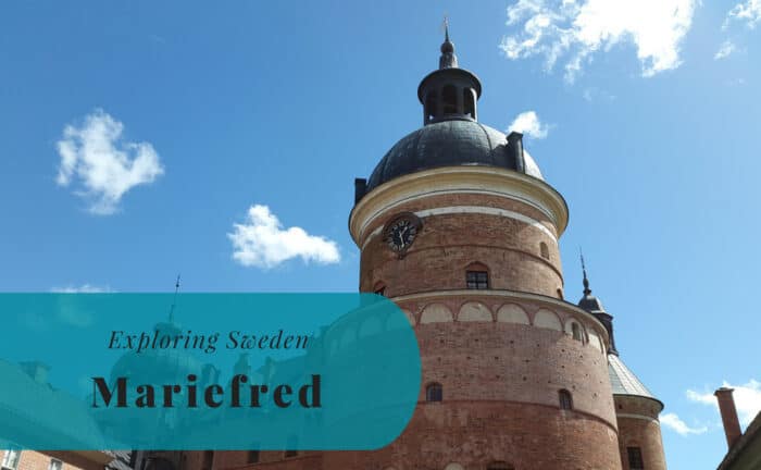
Södermanland boasts an extensive Baltic Sea coastline and access to Lake Mälaren, offering diverse maritime entry points. Nynäshamn Port, located in the eastern part of the historical province, is a major ferry terminal. It offers frequent ferry services to Gotland island (Visby). Some international ferry connections also operate seasonally. Major Stockholm ports, such as Värtahamnen and Frihamnen, handle international passenger ferries from Finland, Estonia, and other Baltic Sea countries. These ports directly serve the northern parts of the historical province. Many smaller harbors and marinas along the Baltic Sea coast, like in Trosa, cater to leisure boats and local archipelago traffic. Towns along Lake Mälaren, like Strängnäs and Mariefred, have active harbors for local passenger boats and recreational vessels, with scenic tours connecting to Stockholm.
By Land
Land travel is the most common and convenient way to reach and explore Södermanland. This is due to its excellent road and rail infrastructure, which is highly integrated with the Stockholm region.
- By Car: Major national highways crisscross Södermanland, offering excellent access. The E4 highway, Sweden’s main north-south artery, runs directly through the province. It connects its towns to Stockholm in the north and to Östergötland and Skåne in the south. The E20 highway also passes through, linking Stockholm with Eskilstuna and further west. Driving offers superb flexibility for exploring its diverse landscapes and historical sites.
- By Train: SJ (Swedish Railways) operates frequent and reliable long-distance train services to Södermanland. Major cities like Eskilstuna, Södertälje, Nyköping, Katrineholm, and Strängnäs are well-connected to Stockholm and other key cities across Sweden. Regional trains also operate efficiently within the province. Commuter trains (Pendeltåg) from Stockholm extend into key areas of Södermanland, including Södertälje.
- By Bus: Various long-distance bus companies offer comprehensive services to Södermanland. These connect major towns to Stockholm and other regions across Sweden. Regional bus networks (e.g., Sörmlandstrafiken, SL buses in Stockholm County parts) also provide good coverage within the province, facilitating travel between smaller communities and attractions.
Join Us Exploring Södermanland!



































Explore more of Sweden and Europe