Koltaluokta, Lappland | Exploring Sweden
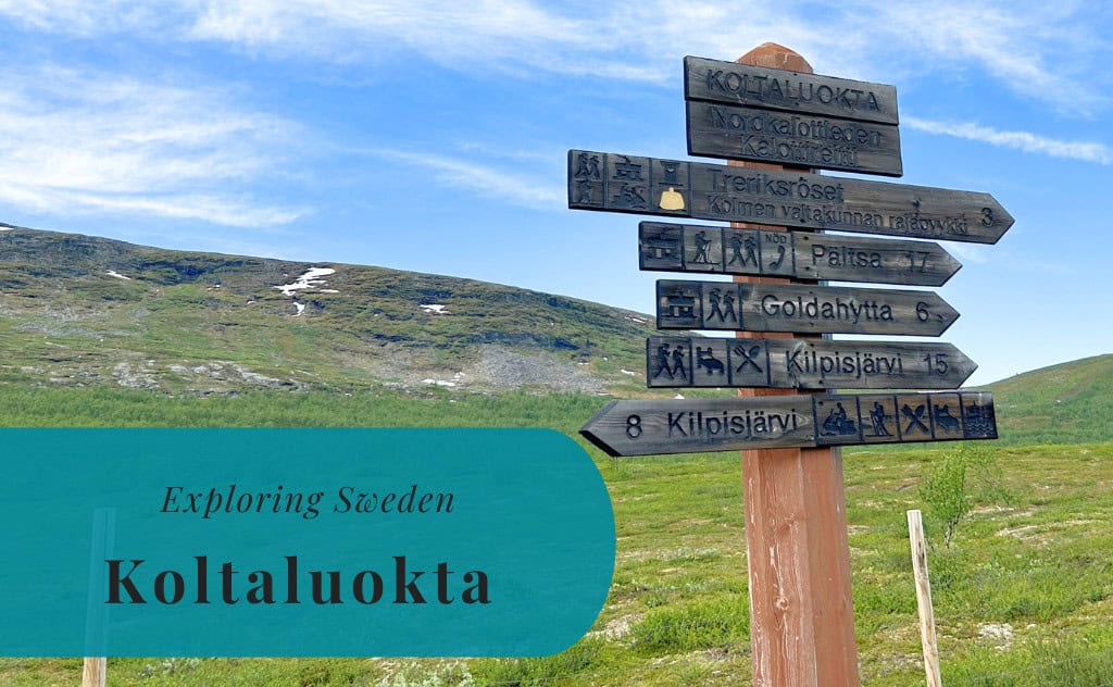
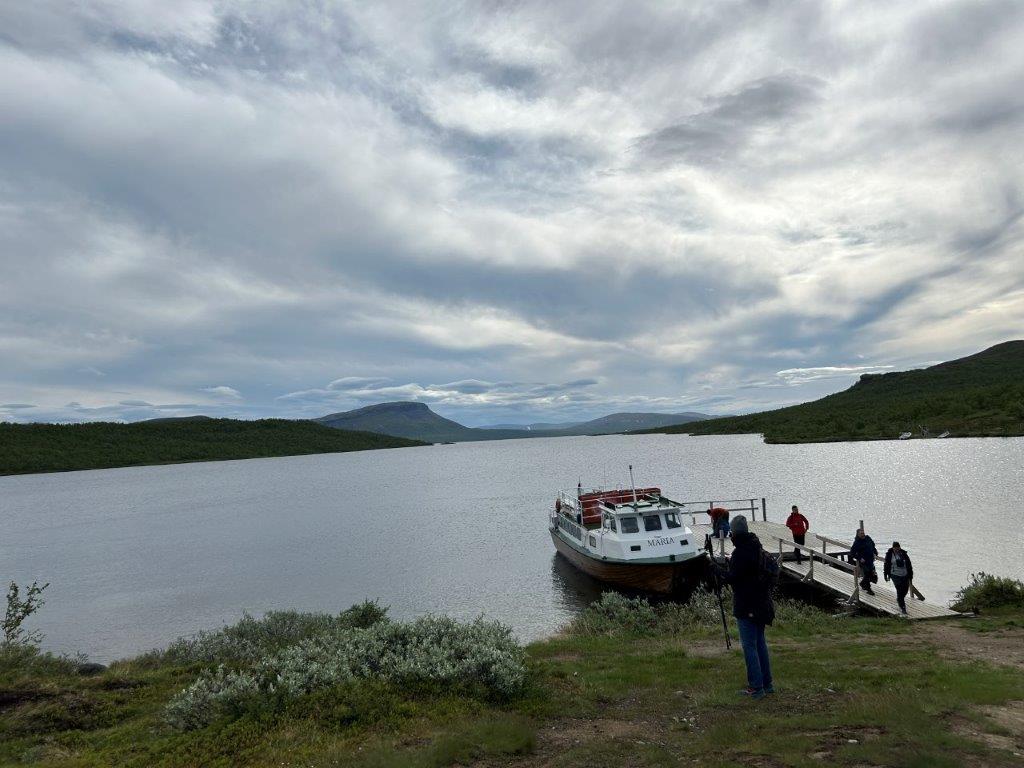
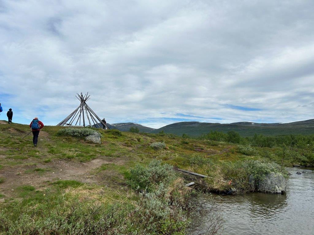
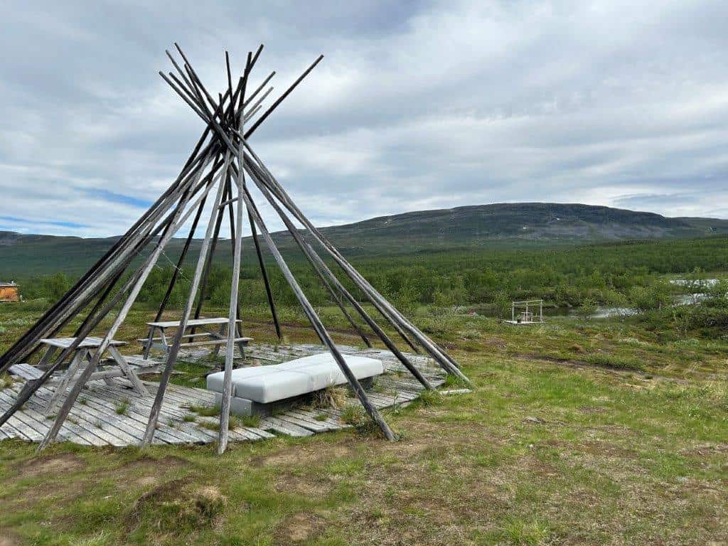
Koltaluokta is probably most famous for being the harbor that accesses the northernmost border tripoint in the world, Treriksröset. This is a former Sámi settlement or Sameviste, that has been turned into a tourist rest area. Koltaluokta is in the far north of Sweden, in the historical province of Lappland. It lies on the shores of Lake Kilpisjärvi, a lake on the border between Sweden and Finland. The settlement is also known by its alternative name Golddaluokta.


Things to Do and See
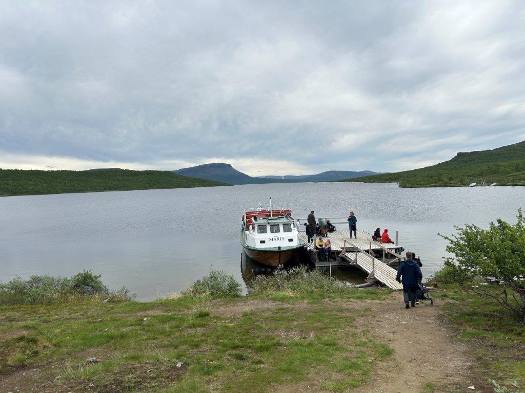
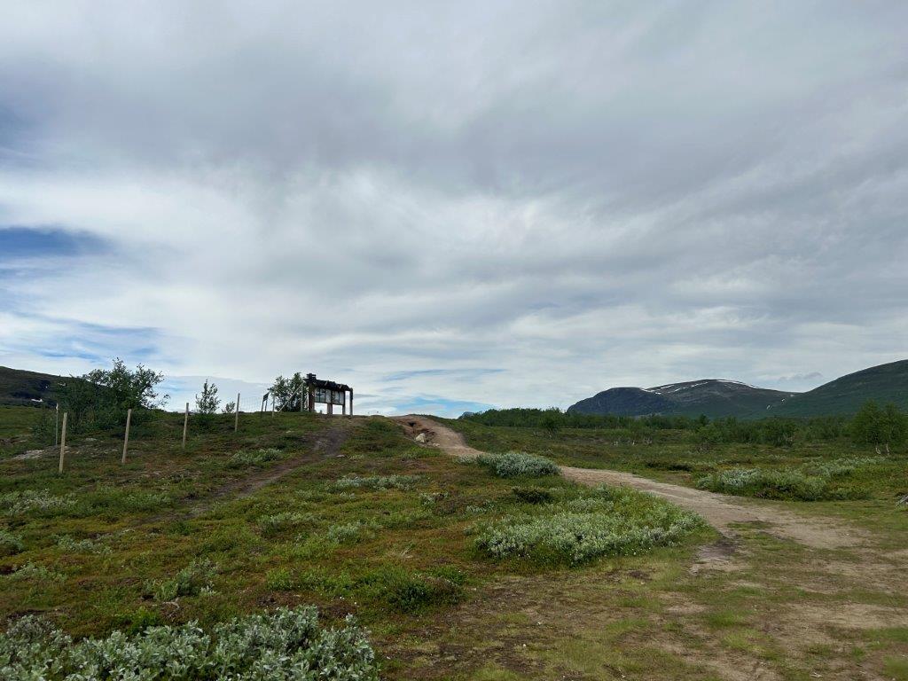
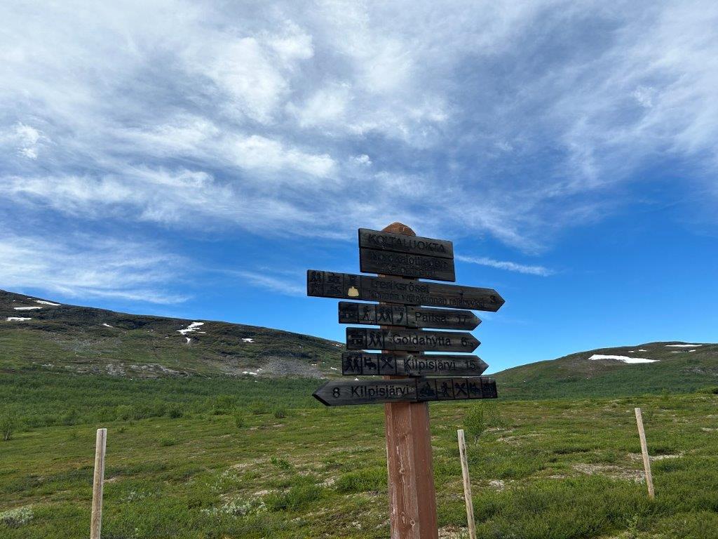
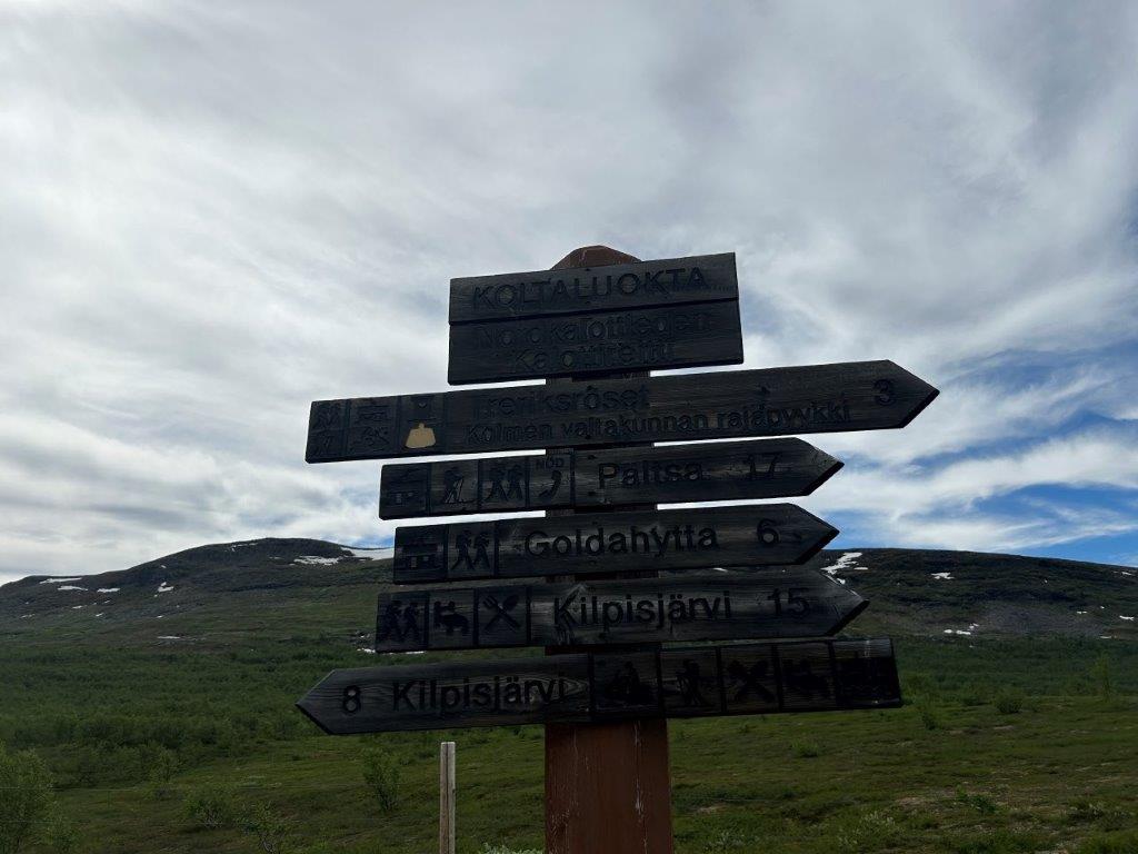
Koltaluokta is home to several hiking trails, the most famous one is probably the prepared path to the border tripoint, the three-country cairn, known as Treriksröset in Swedish. The two boats M/S Malla and M/S Maria transport hikers from the village of Kilpisjärvi in Finland to this small harbor, just a little bit more than three kilometers from the main attraction. There are, however, many more advanced hiking trails in the area, such as Nordkalottleden.



How to Get to Koltaluokta
There are no roads to Koltaluokta, it is only accessible by boat or foot during the summer and by skiing or snow scooter during the winter. The closest access point is the village of Kilpisjärvi in Finland, which is accessible by car.
The driving distance to nearby Kilpisjärvi from 5 major Swedish cities, according to Google Maps:
- Stockholm – 1410 kilometers (16 h 10 min)
- Gothenburg – 1755 kilometers (20 h)
- Malmö – 2017 kilometers (21 h 50 min)
- Linköping – 1605 kilometers (18 h)
- Kiruna – 289 kilometers (3 h 50 min)
Explore More of Lappland and Sweden