Exploring Närke
Exploring Närke
Närke, a historical province nestled in the very heart of Sweden, is a land often overlooked. Yet, it brims with a fascinating blend of history, fertile landscapes, and a quiet spirit of innovation. Historically, Närke was a significant agricultural region, known for its rich soil and strategic location. This made it a crossroads for trade. It played a role in early Swedish industry, particularly around its ironworks. Later, shoe manufacturing in Örebro grew. Today, Närke continues to be a central hub. It connects different parts of Sweden. It offers a unique perspective on the country’s past and present. Its provincial flower is the beautiful Cowslip (Gullviva), symbolizing its fertile meadows. The provincial animal is the elusive Hazel Dormouse (Hasselmus). These symbols perfectly capture Närke’s blend of natural beauty and adaptable wildlife. Join Us Exploring Närke!

Population
Närke has a population of about 230,000 people. This makes it one of Sweden’s more densely populated provinces. Many residents live in and around its largest city. The population is largely urbanized, centered on Örebro.
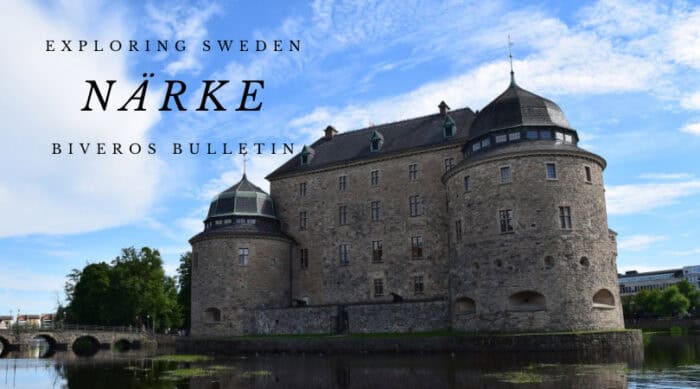
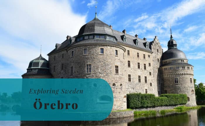
- Örebro: This is Närke’s largest city and the county seat of Örebro County. Örebro is a vibrant and modern city. It’s beautifully situated by Svartån river and near Lake Hjälmaren. It’s famous for its Örebro Castle. This magnificent fortress dominates the city center. Örebro is a major regional hub for commerce and education. It has a university and a vibrant cultural scene. It’s known for its green spaces.
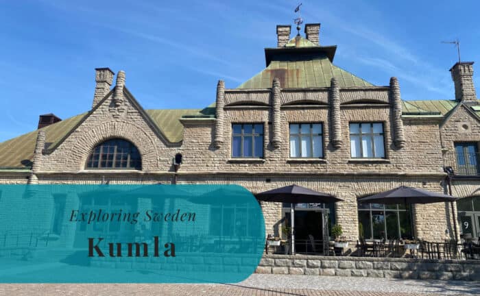
- Kumla: Located south of Örebro, Kumla is a smaller town. It’s known for its industrial heritage, including its shoe industry history. Today, it has a diverse local economy. It offers a friendly, small-town feel.
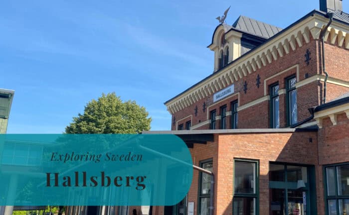
- Hallsberg: This town is a crucial railway junction in central Sweden. Hallsberg is a vital logistics hub. It connects major train lines nationwide. Its economy relies on transport infrastructure.
Location
Närke is centrally located in Sweden. It forms a crucial inland connection point. It borders Västmanland and Södermanland to the east. Östergötland is to the south. Västergötland and Värmland are to the west. Dalarna lies to the north. Its central position means it has no coastline. It’s a strategic crossroads for both natural and man-made pathways.
Geography
Närke’s geography features fertile plains in the central and southern parts. This makes it an important agricultural region. Towards the north and west, the landscape varies. You’ll find forested hills and many lakes. Lake Hjälmaren is partly within Närke. It’s Sweden’s fourth-largest lake. It influences local climate and economy. The Svartån river flows through Örebro. It eventually empties into Lake Hjälmaren. The terrain is generally flat to gently undulating. The highest point in Närke is Kilsbergen. This hill range reaches 298 meters. It forms a notable natural boundary to the west.
Entry Points to Närke
Närke is exceptionally well-connected by land. This reflects its central position in Sweden. Air travel is also convenient via nearby hubs.
By Air
The primary airport serving Närke is Örebro Airport (ORB). It is located just west of Örebro city. This airport offers domestic flights. It also has international charter flights, particularly for holiday destinations. It also handles cargo. For broader connections, Stockholm Arlanda Airport (ARN) is the main gateway. Arlanda is Sweden’s largest international airport. It’s approximately 200 km east. Direct train services connect Arlanda to Örebro. This makes onward travel smooth.
By Sea
As an inland province, Närke has no direct access to the ocean. However, its largest lake, Lake Hjälmaren, is connected to Lake Mälaren via the Hjälmare Canal. Lake Mälaren, in turn, connects to the Baltic Sea through locks in Stockholm and the Södertälje Canal. This means it’s technically possible to reach Närke by boat from the Baltic Sea, although this route is primarily used by leisure craft and recreational boats, not by large passenger ferries. Harbors along Lake Hjälmaren, such as those in Örebro and Arboga, primarily serve local boat traffic. Travelers arriving by major international ferries to Sweden would still typically arrive in coastal ports like Stockholm or Gothenburg. From these points, onward travel to Närke would be by land.
By Land
Land travel is the most common and convenient way to reach and explore Närke. This is due to its central location and excellent infrastructure.
- By Car: Major national highways converge in Närke. The E18 highway runs east-west. It connects Örebro directly to Stockholm in the east. It also links to Karlstad in the west. The E20 highway also passes through the province. It links Gothenburg in the southwest to Stockholm in the northeast. This extensive road network makes driving a flexible option.
- By Train: SJ (Swedish Railways) operates frequent train services to Närke. Örebro Central Station is a major railway junction. It has direct connections to Stockholm, Gothenburg, Malmö, Karlstad, and other key cities. This makes train travel very efficient and comfortable.
- By Bus: Various long-distance bus companies offer comprehensive services. They connect major towns like Örebro, Kumla, and Hallsberg to Stockholm. They also connect to other regions across Sweden. Local bus networks also provide good coverage. This facilitates travel between smaller communities and attractions.
Join Us Exploring Närke!


Explore more of Sweden and Europe