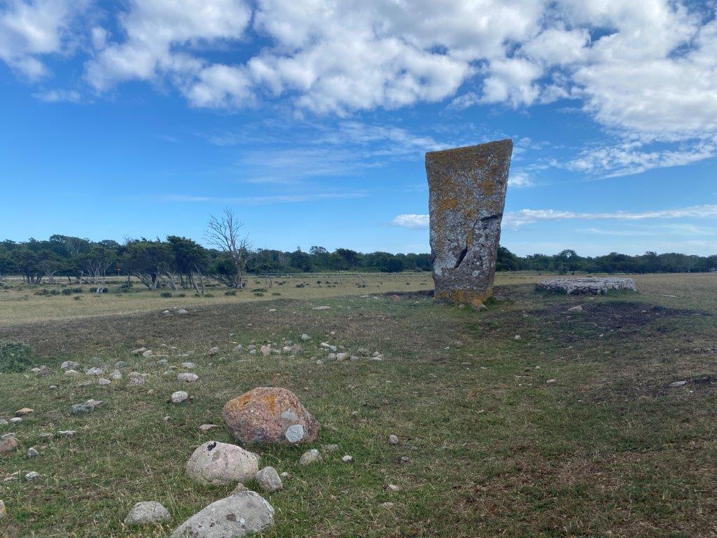
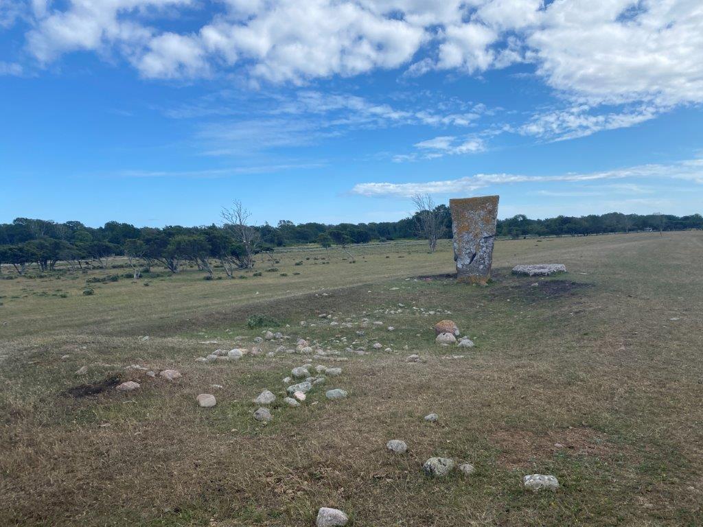
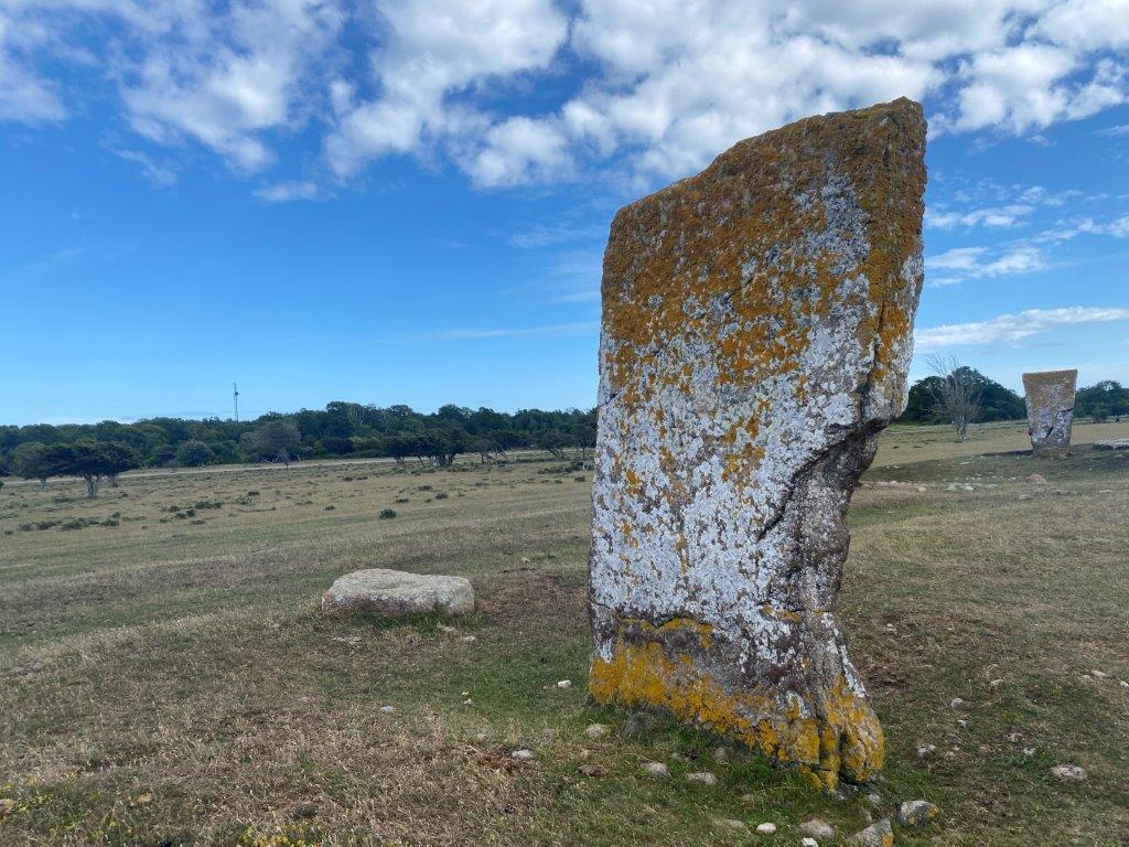
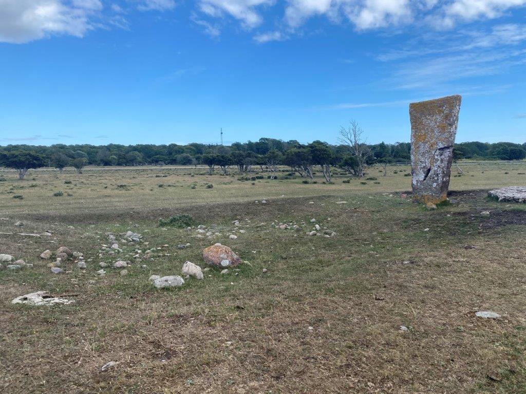
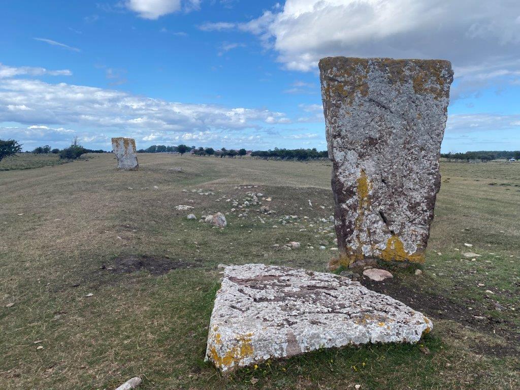
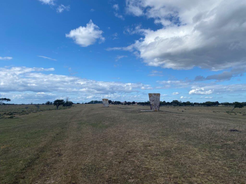
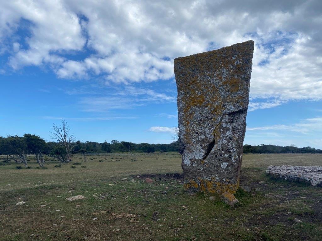
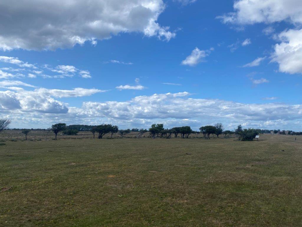
Kungsstenarna, the royal stones, are two stones marking the location of an Iron Age burial site. They are located within Ottenby Nature Reserve close to Ölands Södra Udde, the southernmost tip of Öland. The two stones stand tall above the fields where you might encounter a cow or sheep when exploring the area.
Things to Do and See
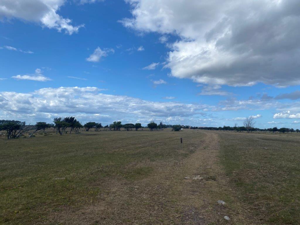
Kungsstenarna is the most striking sign here of the former settlements that once was here. Exploring more of Ottenby Nature Reserve will take you to more signs of the area’s historical past. In addition there is an amazing scenery around here with grazing cows and sheep. The landscape is in many ways more similar to the savannah in Africa than anything else in Sweden.
Kungsstenarna
The two stones stand proud on a ridge surrounded by the fields. They are easy to reach from the nearby parking lot and marks the location of an Iron Age burial site. Continue a bit further north and you will stand at the largest burial field on the island.
How to Get to Kungsstenarna
- Flights: The nearest airport is Kalmar Öland Airport (KLR), which is 70 kilometers to the northwest.
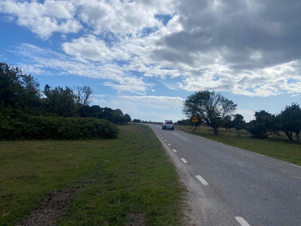
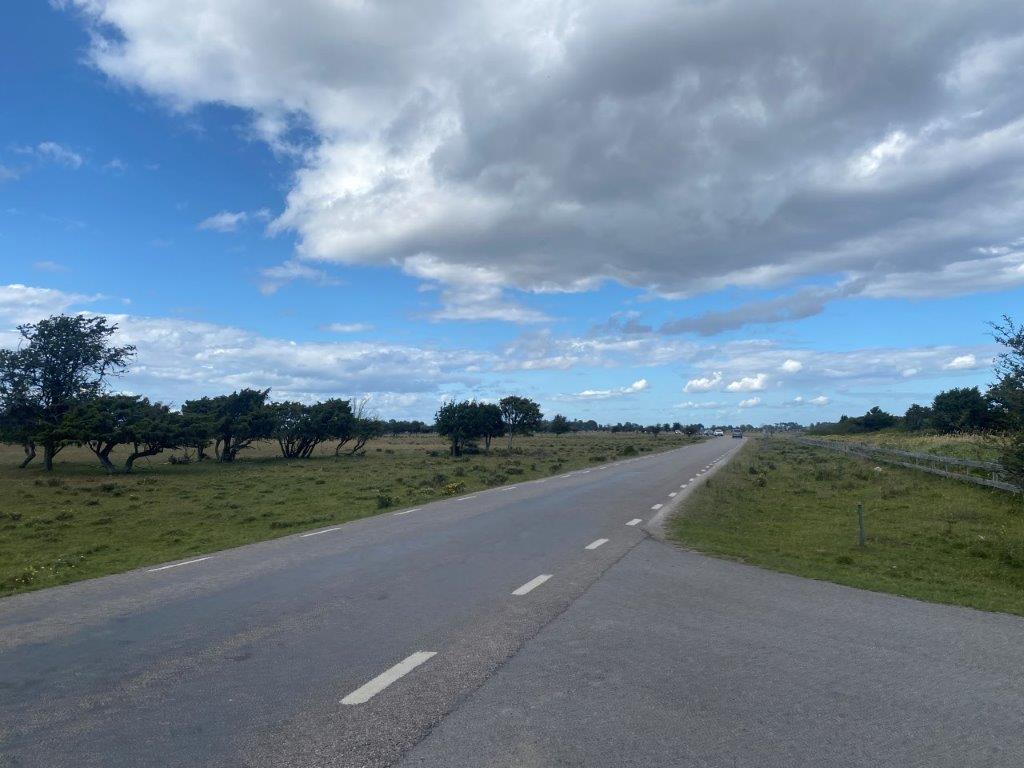
- Car: Kungsstenarna is located along countryside roads close to the southern tip of Öland.
- Bus: Buses from Kalmar Länstrafik connect Kungsstenarna with the surrounding area by a bus stop in nearby Ottenby.
The driving distance from 5 major Swedish cities, according to Google Maps:
- Stockholm – 474 kilometers (5 h 30 min)
- Gothenburg – 402 kilometers (5 h)
- Malmö – 339 kilometers (4 h 10 min)
- Linköping – 299 kilometers (4 h)
- Kiruna – 1705 kilometers (18 h 20 min)
Explore More of Öland and Sweden