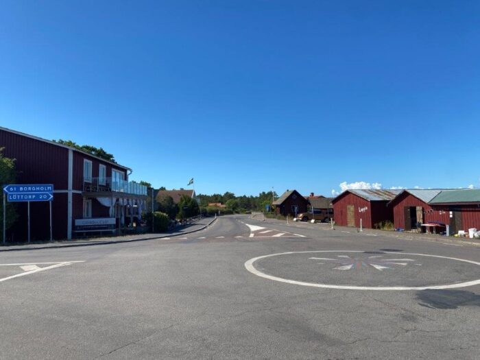
Byxelkrok is a small fishing village close to the northernmost point of the Öland Island, the second largest island in Sweden. The village has developed into a seaside resort that is a popular destination during the summer months. The around 160 inhabitants are multiplied manifold during the peak season. Thanks to its location close to the northern point of the island and the ferry connection to Oskarshamn on the mainland, it is popular for tourists going on cycling trips in the area.
A Short History of Byxelkrok
The name Byxelkrok has developed from “Byskogskroken“, which is the bay where the village is located and that stretches a bit further south to the cape of Tokenäs. Historically, the harbor has been around Tokenäs, today there is a lighthouse. The harbor in Byxelkrok dates back to the end of the 19th century and has ever since been a central piece in the development of the surrounding settlements.
Things to Do and See
There is a lot to explore in this part of Öland. Byxelkrok is close to the northern point of the island, which is within reach by both car and bike. Byxelkrok is in many ways a traditional fishing village, with the water close by and fish available for dinner. But its location on Sweden’s second largest island does add a bit of spice to the visit.
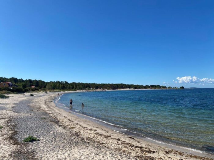
Byxelkrok Beach
Stretching almost 500 meters along the bay south of the harbor is a popular beach for swimming. It is mostly sandy, but the sand is replaced by small rocks and pebbles closer to the waterfront.
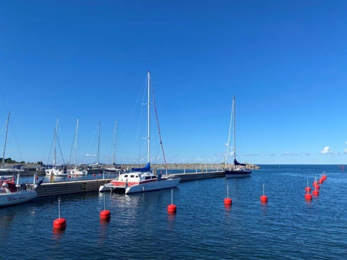
Byxelkrok Harbor
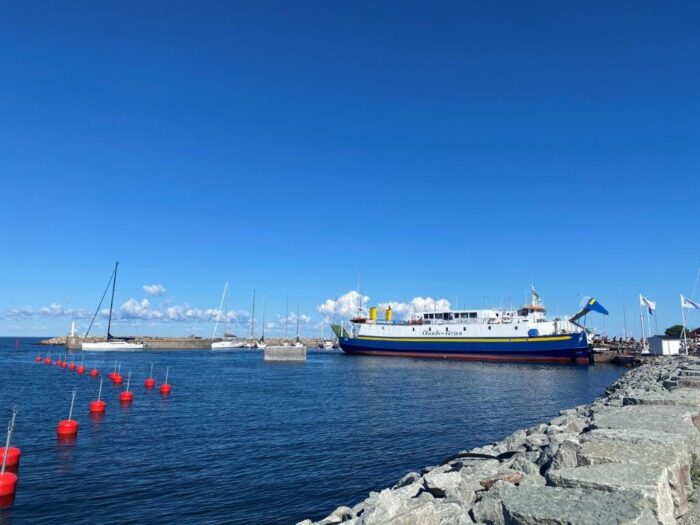
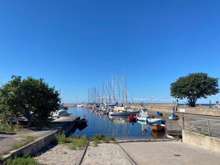
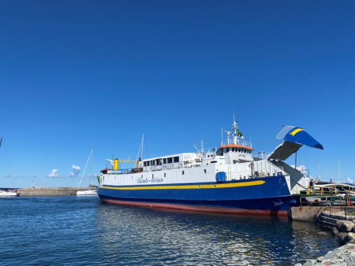
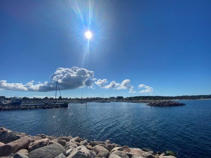
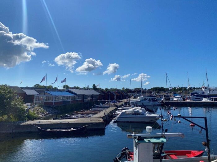
Byxelkrok Harbor can be split into three parts, it is the harbor, the marina, and the old fisherman sheds. The harbor has especially one ferry arriving and departing during the summer months, this is MS Solsund which connects the village with Oskarshamn on the Swedish mainland. The harbor is surrounded by water breaks that also protect a smaller marina.
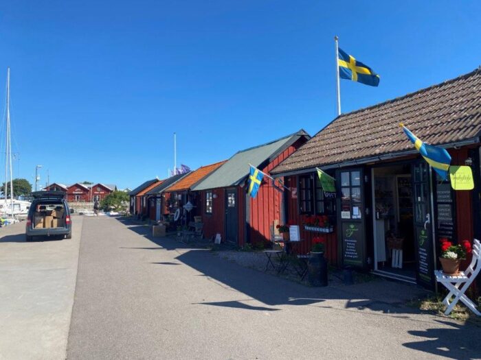
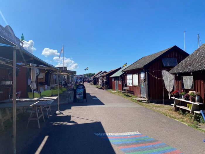
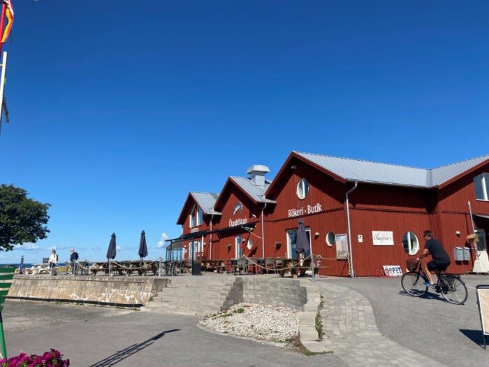
On the land next to the marina, there are a few streets going back and forth between old fishermen’s sheds. These days the buildings house small shops and restaurants. This is where you can find your lunch or dinner, but also delicacies and souvenirs to buy.
Neptuni Åkrar
Neptuni Åkrar, or the Fields of Neptune, are just north of Byxelkrok. The name actually dates back to 1741 when the Swedish botanist Carl Linnaeus gave the fields the name after the Roman god of the sea.
The fields are made up of Shingle beach, which is a beach made up of small smooth pebbles. The area is today a nature reserve. The fields are famous for the flower viper’s-bugloss. The flower is actually an invasive species and arrived here first in 1934.
Tokenäsudde Lighthouse
Looking for a lighthouse that is closer by, but smaller, than “Långe Erik? Tokenäsudde Lighthouse is just a short walk along the beach south of Byxelkrok. It is an active lighthouse that dates back to 1893 and has a height of around 7 meters.


How to Get to Byxelkrok
- Flights: The closest airfield is Ölanda (ÖFM) only 3 kilometers away, but you will probably not find any flights from there. The other option is Kalmar Öland Airport (KLR) 102 kilometers away.
- Car: Byxelkrok is along road 136 close to the northern point of Öland Island.
- Bus: Buses from Kalmar Länstrafik connect Byxelkrok with the surrounding region.
- Ferry: There are ferries connecting Byxelkrok with the mainland and the city of Oskarshamn during the summer season.
The driving distance from 5 major Swedish cities, according to Google Maps:
- Stockholm – 508 kilometers (6 h 6 min)
- Gothenburg – 435 kilometers (5 h 22 min)
- Malmö – 377 kilometers (4 h 27 min)
- Linköping – 321 kilometers (4 h 17 min)
- Kiruna – 1738 kilometers (19 h 46 min)
Explore More of Sweden and Öland
