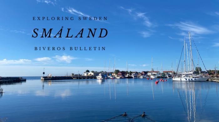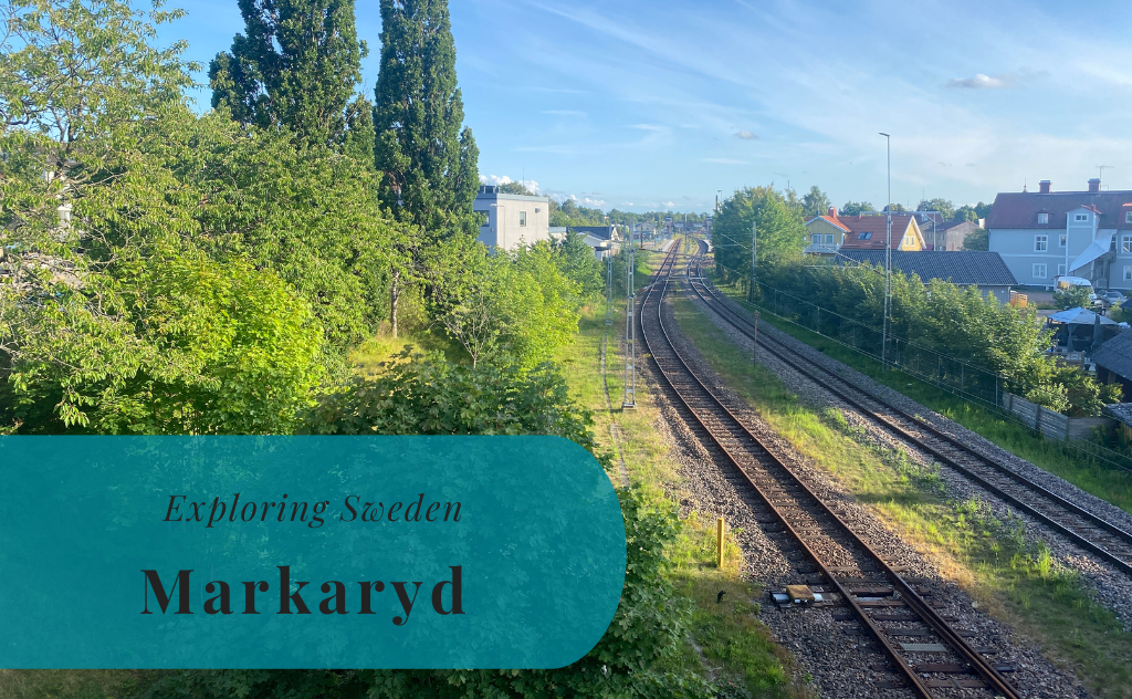
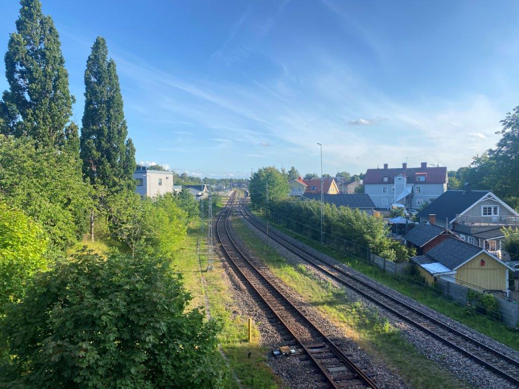
Markaryd is a locality and seat of the local municipality in Kronoberg County. It lies in the southwestern corner of the province of Småland in southern Sweden. It has a population of around 5.100 inhabitants, but it is the strategic location along major transport routes that stands out. There are not only large local roads and the railway that pass through here, but also the E4, the highway traversing Sweden from south to north.


A Short History of Markaryd
The first known written mentioning of Markaryd is dated to 1342. This is a region that for centuries was the border area between Sweden and Denmark. That border has caused opportunities but also dismay for the earlier locals. It was especially after the dissolution of the Kalmar Union in the 16th century that the area became very hostile. The area was many times visited by soldiers from both Sweden and Denmark during the 16th and 17th centuries, many times causing problems. It was first with the Treaty of Roskilde that Markaryd’s position along the border changed. This was when Sweden gained more land area and the border was moved to the Öresund Strait.
For historians and genealogy researchers it is a tragic night in 1851 that might cause a tear or two of frustration. During a lightning storm, the church was hit and began to burn. It was not possible to save neither the church nor its large archive.
The industrialization in the 19th century included three major changes. The first was the establishment of the railways, first between Åstorp and Jönköping and then between Halmstad and Hässleholm. This created a railway junction in Markaryd between the two lines. The second development came with the establishment of industries within forestry and manufacturing. The last larger development came in 1963 with the establishment of the Rikspappersskolan, a upper-secondary school with focus on the pulp and paper industry.


Things to Do and See
Markaryd is known for its many lakes and forests. These create many opportunities for outdoor activities in the surrounding nature. In addition there are two types of centers in Markaryd. You have the business and industrial area that has been established along the E4 where you will find a rest area and a few larger stores. There is also the central center of Markaryd, with the more businesses such as small shops and restaurants.
Sparbanksparken
Sparbanksparken is a sport complex just north of Markaryd. In addition to the indoor arena Sparbankshallen there is also a football field and floodlit trail. The floodlit trail covers a distance of 2.5 kilometers fitting for runners, joggers, and walkers.
Hannabadet
Hannabadet is the local indoor swimming center. Here you will find the usual 25 meter swimming pool as well as other activities for both kids and adults.
Lake Getesjön
Getasjön is the lake to the north of the town. This is where you will find the local camping ground as well as beach not far from the camping. This is probably the main beach of Markaryd with a few amenities available. The water quality is tested by the municipality and swimming in the lake was not advised during 2023.
Lake Lokasjön
Lokasjön is the lake to the west of the center. Here you find a sandy beach where the water quality is tested by the municipality. There are also a few simpler amenities to be found here.
Lake Hannabadssjön
Hannabadssjön is a lake to the south of the town center. In addition to the view of the lake itself you will find a small sandy beach along its northeastern shores. It is one of the lakes where the municipality test the water quality.


How to Get to Markaryd
- Flights: The nearest airport is Ängelholm–Helsingborg Airport (AGH) which is 69 kilometers to the southwest.
- Car: Markaryd is located along Road E4 between Ljungby and Örkelljunga.
- Bus: Buses from Länstrafiken Kronoberg connect Markaryd with the surrounding area.
- Train: Pågatågen has trains between Markaryd and Hässleholm.
The driving distance from 5 major Swedish cities, according to Google Maps:
- Stockholm – 481 kilometers (5 h)
- Gothenburg – 192 kilometers (2 h 20 min)
- Malmö – 135 kilometers (1 h 25 min)
- Linköping – 286 kilometers (3 h 20 min)
- Kiruna – 1711 kilometers (18 h 10 min)
Explore More of Småland and Sweden