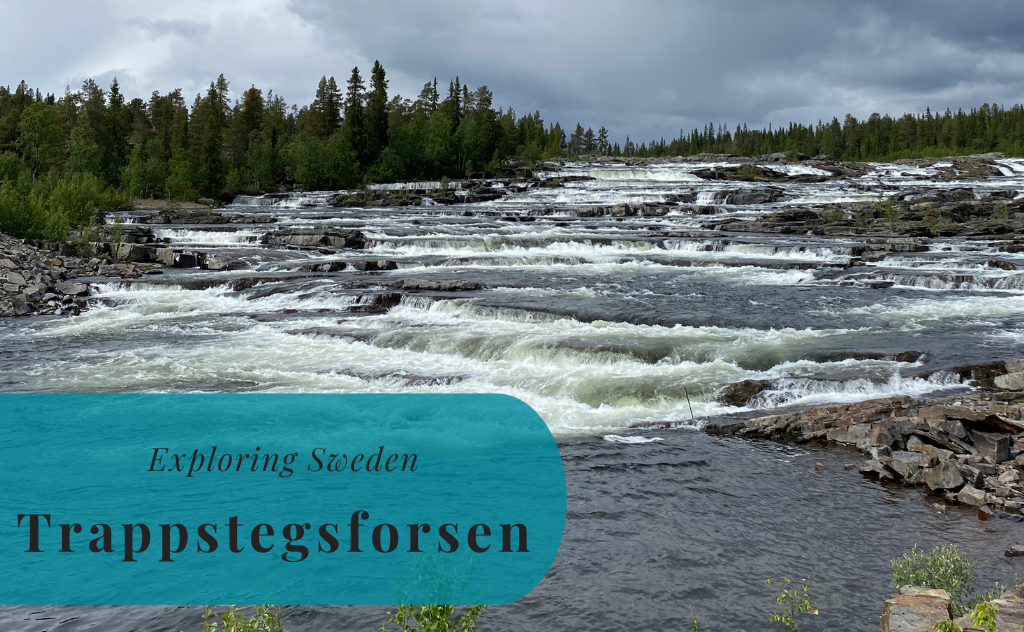
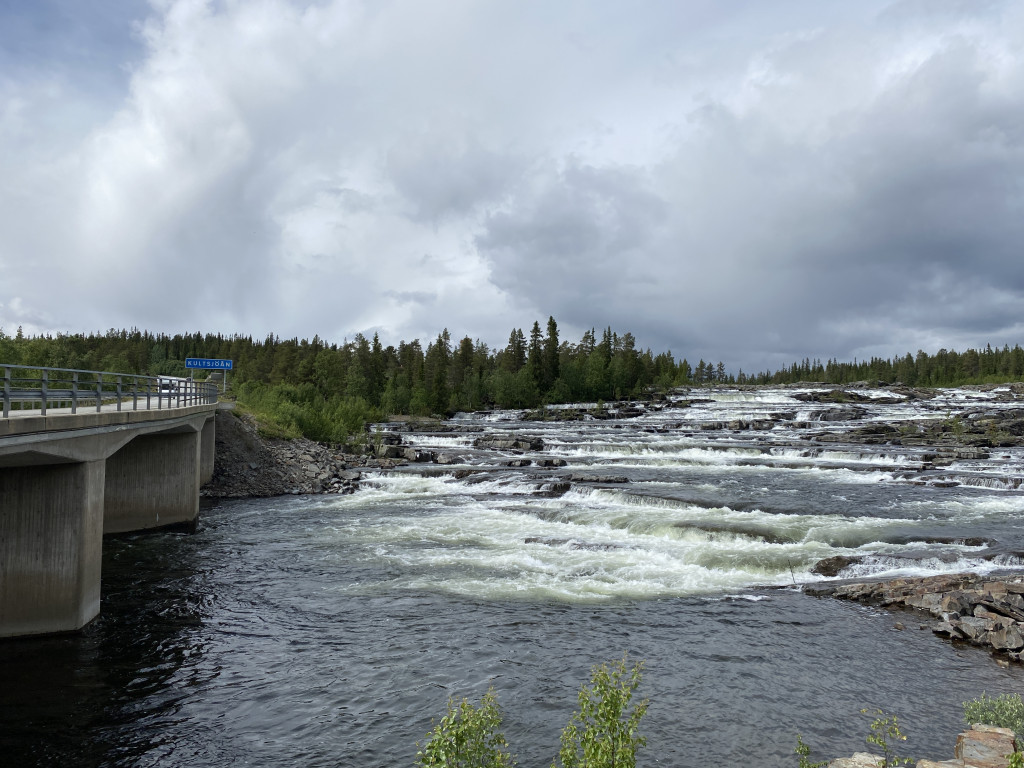
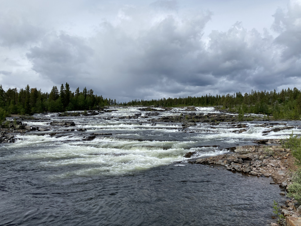
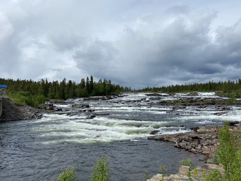
Trappstegsforsen is one of the most well-known waterfalls along the tourist road Vildmarksvägen, the Swedish Wilderness Road, in northern Sweden. They are a part of the river Kultsjöån and lie in Vilhelmina Municipality in Västerbotten County, within the historical province of Lappland. The intensity of the rapids increases significantly during the spring and early summer when the snow in the surrounding mountains is melting.
Things to Do and See
Trappstegsforsen is adjacent to one of the larger parking lots along the Swedish Wilderness Road. The rapids are clearly visible from the barriers of the parking lot. The nearby bridge does, however, sadly miss a pedestrian part and is not at all times a suitable spot for a better view. At the parking lot is also a small restaurant, one of few to be found along this part of Wilderness Road. But it is also possible to eat your own food at the picnic tables next to the river.
How to Get to Trappstegsforsen
- Flights: The nearest airports are Vilhelmina Airport (VHM) and Åre Östersund Airport (OSD)
- Car: Trappstegsforsen is located along the Vildmarksvägen, the Wilderness Road. These are rural roads to the west of Vilhelmina, towards the border with Norway.
The driving distance from 5 major Swedish cities, according to Google Maps:
- Stockholm – 769 kilometers (9 h)
- Gothenburg – 1053 kilometers (13 h 10 min)
- Malmö – 1377 kilometers (15 h)
- Linköping – 964 kilometers (11 h)
- Kiruna – 830 kilometers (10 h 30 min)
Explore More of Lappland and Sweden


Lovely photos, May Trappstegsforsen stay pristine,