Plettenberg Bay | Exploring South Africa
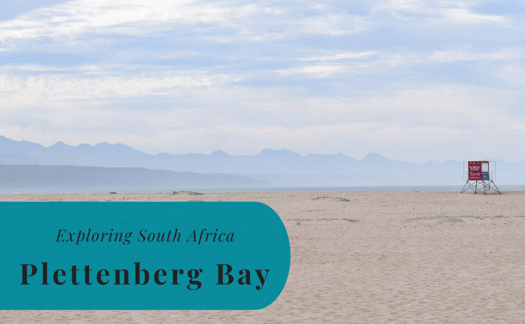
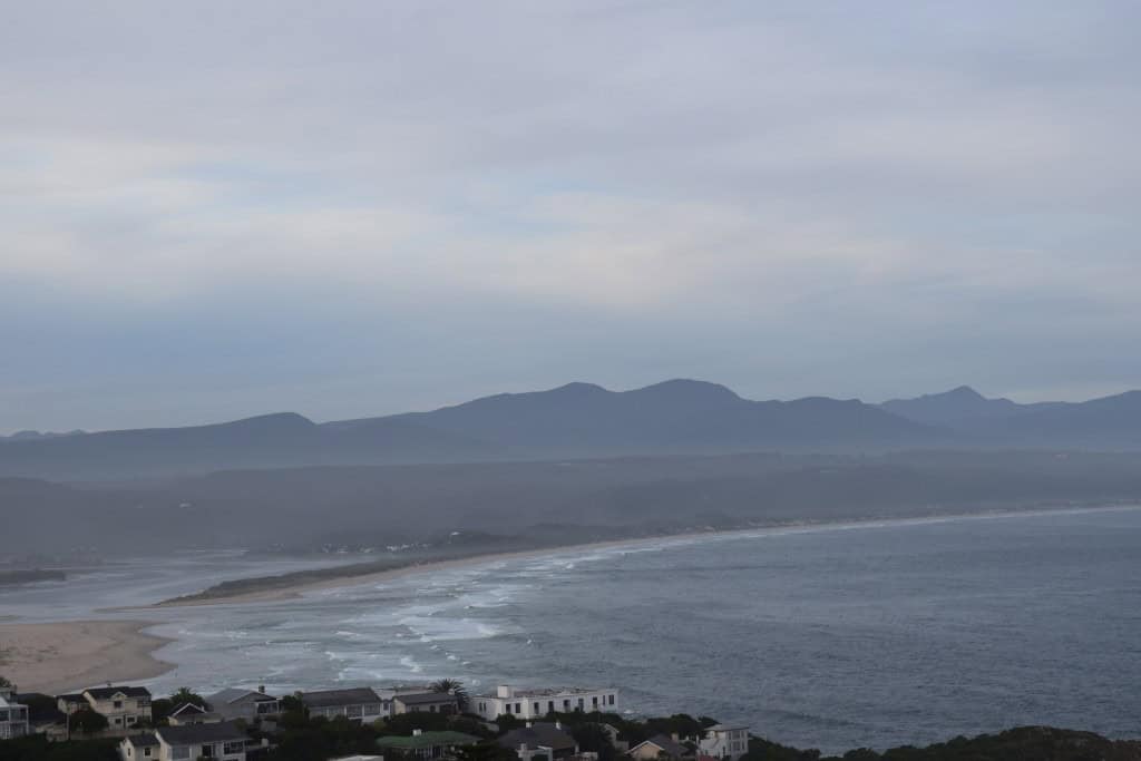
Plettenberg Bay, often referred to as Plett, is a seaside town located on the Garden Route in the Western Cape province of South Africa. It is situated on the coast of the Indian Ocean, approximately 240 kilometers from the city of Gqeberha. With a population of around 50,000 in its wider municipality, Plettenberg Bay is one of the most popular and upscale holiday destinations in the country. It is known for its spectacular natural scenery, its long, sandy beaches, and its beautiful lagoon.
The identity of Plettenberg Bay is that of a premier resort town that is a center for marine wildlife encounters. The town is set in a magnificent bay, and it is framed by the dramatic Robberg Peninsula on one side. The area is a major destination for watching dolphins, seals, and migratory whales. Today, Plettenberg Bay is a bustling and sophisticated town with a thriving tourism industry. It offers a wide range of accommodation, restaurants, and outdoor activities.

History of Plettenberg Bay
The history of Plettenberg Bay is a story of a remote bay that was first used by Portuguese explorers and later developed into a colonial outpost and finally into a premier tourist resort. The bay was first charted in the 15th century. For centuries, it was a minor port used for whaling and the export of timber. The modern town began to develop in the 20th century as its natural beauty and pleasant climate began to attract holidaymakers, transforming it into the popular destination it is today.
Early European Exploration
The bay was first charted by the Portuguese explorer Bartolomeu Dias in 1487. He originally named it Bahia Formosa, which means “Beautiful Bay.” For the next few centuries, the bay was a stop for European ships on the long sea voyage to the East. In 1778, the Dutch governor of the Cape, Joachim van Plettenberg, visited the bay and renamed it Plettenberg Bay in his own honor. He erected a slate beacon, the Van Plettenberg Beacon, which is now a provincial heritage site.
A Timber Port and Whaling Station
In the late 18th century, the Dutch East India Company established a timber post at Plettenberg Bay to exploit the vast indigenous forests of the region. A timber shed was built, and the wood was transported to Cape Town to be used for shipbuilding and construction. In the 19th century, under British rule, the bay became a major center for the whaling industry. A whaling station was established on the Robberg Peninsula, and whales were hunted in the bay for many years until the industry declined.
The Rise of a Resort Town
The transformation of Plettenberg Bay into a tourist destination began in the 20th century. The town’s beautiful beaches and scenic location began to attract holidaymakers from other parts of South Africa. After World War II, the town experienced a major boom in development, with the construction of holiday homes and hotels. In the modern era, Plettenberg Bay has solidified its reputation as one of the country’s most exclusive and sought-after holiday resorts. It is a key stop on the famous Garden Route.
Sights in Plettenberg Bay
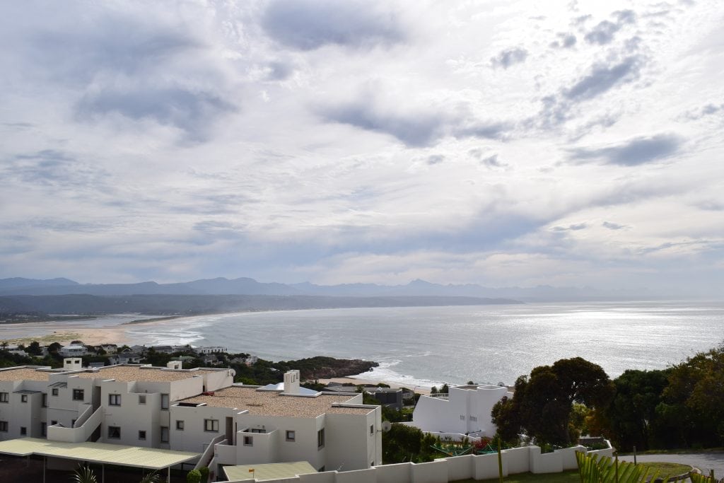
The sights in Plettenberg Bay are centered around its magnificent natural bay and its incredible marine wildlife. The main attraction is the Robberg Nature Reserve, a peninsula that offers spectacular hiking and stunning views. The town’s beautiful beaches, such as Robberg Beach and Lookout Beach, are another major draw. For those interested in wildlife, the bay is a fantastic place to see dolphins, seals, and whales. The nearby primate and bird sanctuaries are also major international attractions.
Robberg Nature Reserve
The Robberg Nature Reserve is a World Heritage Site and a national monument. It is located on a peninsula that juts out into the sea at the southern end of the bay. The reserve is a paradise for hikers, and it has a network of trails of varying lengths and difficulty levels. The trails offer breathtaking views of the coastline and the bay. The reserve is also home to a large colony of Cape Fur Seals, and it is a great place to spot dolphins and whales.
The Beaches
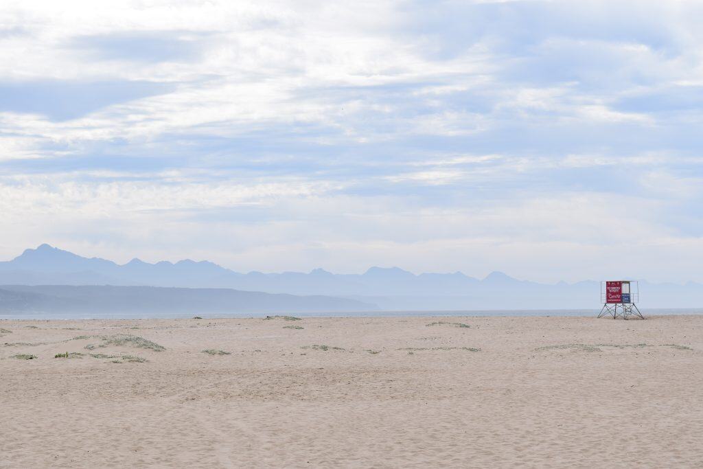
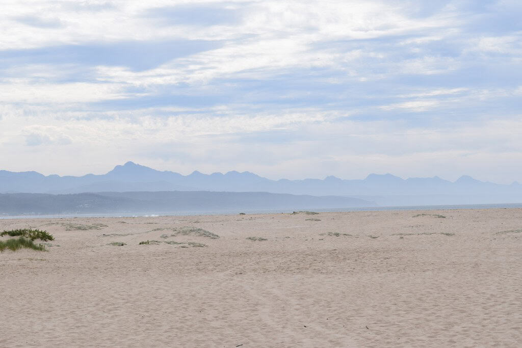
Plettenberg Bay is famous for its long and beautiful sandy beaches. Robberg Beach is a 5-kilometer stretch of white sand that has been awarded the Blue Flag status. It is a very popular spot for walking and swimming. Lookout Beach is located at the mouth of the Keurbooms River Lagoon, and it is another popular spot with beautiful views. The town has several other beautiful beaches, each with its own unique character.
Marine Wildlife
The bay at Plettenberg Bay is a Hope Spot, which is a special place that is critical to the health of the ocean. The bay is a haven for marine wildlife. It is very common to see large pods of dolphins playing in the waves. A large colony of Cape Fur Seals lives at the Robberg Peninsula. From June to November, the bay is visited by migratory Southern Right and Humpback whales, which come here to breed and calve. Several local companies offer guided boat tours to see the marine life up close.
Monkeyland and Birds of Eden
Located just a short drive from Plettenberg Bay are two world-famous wildlife sanctuaries, Monkeyland and Birds of Eden. Monkeyland is the world’s first free-roaming, multi-species primate sanctuary. Birds of Eden is the world’s largest free-flight aviary. Both sanctuaries offer a unique and ethical way to see these amazing animals in a naturalistic environment. They are two of the top tourist attractions on the Garden Route.
Getting Around in Plettenberg Bay
Navigating the town of Plettenberg Bay is best done with a car. The town is spread out, with its main commercial center, its various residential areas, and its different beaches all located in separate areas. A car provides the most flexibility for exploring the town and the wider Garden Route region. The main town center is walkable. For those without their own vehicle, local taxi services are available.
Navigating by Car
A car is the most practical way to visit Plettenberg Bay and to explore the surrounding area. Having your own vehicle allows you to easily travel between the different beaches, to visit the Robberg Nature Reserve, and to take day trips to the nearby wildlife sanctuaries and the town of Knysna. Parking is generally available and easy to find throughout the town, although it can be busy at the main beaches during the peak season.
Exploring by Foot
The central part of Plettenberg Bay, which includes the main street with its shops and restaurants, is a pleasant area to explore on foot. A long and beautiful walk can also be taken along the entire length of the magnificent Robberg Beach. The many hiking trails in the Robberg Nature Reserve are also, of course, explored on foot.
How to Get to Plettenberg Bay?
Plettenberg Bay is located on the Garden Route in the Western Cape province of South Africa. The town is situated directly on the main N2 national highway, which makes it very easy to reach. The town has its own small airport, but the main gateway for visitors arriving by air is the larger airport in the nearby city of George. Long-distance buses also provide connections to the town.
Arriving by Air
Plettenberg Bay has its own small airport, Plettenberg Bay Airport (PBZ), which has limited scheduled flights from Johannesburg and Cape Town. The closest airport with more regular scheduled flights is George Airport (GRJ), which is located about a one-hour drive to the west. George Airport has regular flights from all the major cities in South Africa. From either airport, you would need to rent a car or take a shuttle service to reach Plettenberg Bay.
Driving into the Town
Driving to Plettenberg Bay is straightforward. The town is located directly on the main N2 highway. If you are driving from Cape Town (a journey of about six hours), you would follow the N2 east along the famous Garden Route. If you are driving from Gqeberha, the journey on the N2 west takes about two and a half hours. The excellent road access is a key part of the town’s popularity.
Connecting by Bus
Long-distance bus companies like Intercape and Greyhound operate very frequent services that run along the N2 highway between Cape Town and the Eastern Cape. All of these services make a scheduled stop in the center of Plettenberg Bay. The bus is a very convenient and affordable option for reaching the town from other major centers in the country. The bus stop is centrally located.
Driving Distances
The driving distance from 20 regional cities, according to Google Maps:
- Knysna, South Africa – 30 kilometers (0 h 25 min)
- George, South Africa – 100 kilometers (1 h 10 min)
- Mossel Bay, South Africa – 110 kilometers (1 h 15 min)
- Oudtshoorn, South Africa – 150 kilometers (1 h 45 min)
- Gqeberha, South Africa – 240 kilometers (2 h 30 min)
- Graaff-Reinet, South Africa – 410 kilometers (4 h 15 min)
- Swellendam, South Africa – 310 kilometers (3 h 10 min)
- Beaufort West, South Africa – 380 kilometers (3 h 50 min)
- Cape Town, South Africa – 520 kilometers (5 h 20 min)
- East London, South Africa – 530 kilometers (5 h 30 min)
- Kimberley, South Africa – 840 kilometers (8 h 15 min)
- Bloemfontein, South Africa – 880 kilometers (8 h 45 min)
- Maseru, Lesotho – 930 kilometers (9 h 45 min)
- Durban, South Africa – 1160 kilometers (11 h 45 min)
- Johannesburg, South Africa – 1260 kilometers (12 h 15 min)
- Pretoria, South Africa – 1320 kilometers (12 h 45 min)
- Mbabane, Eswatini – 1480 kilometers (14 h 45 min)
- Windhoek, Namibia – 1730 kilometers (17 h 45 min)
- Harare, Zimbabwe – 2200 kilometers (23 h 00 min)
- Lusaka, Zambia – 2450 kilometers (26 h 00 min)
Looking to Explore more of South Africa and Africa?