Exploring Norrbotten
Exploring Norrbotten
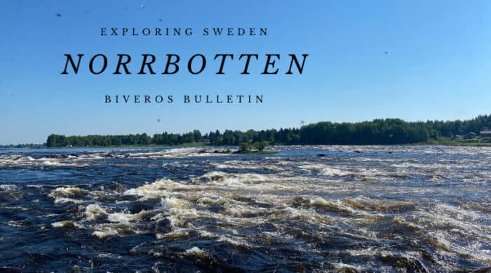
Norrbotten, Sweden’s youngest historical province, holds a unique place in the country’s northern landscape. It predominantly covers eastern coastal areas, along with deep forests. Its history is relatively recent, largely defined by the eastward expansion of Swedish settlement. Timber and industry grew here from the 17th century. Its rivers, like the Torne and Lule rivers, were vital for trade and transport for centuries. This region has a distinct identity, shaped by its rivers flowing into the Bothnian Bay and its close ties with Finland. Its provincial flower is the fragrant Arctic Bramble (Åkerbär). The provincial animal is the clever Siberian Jay. These symbols perfectly capture Norrbotten’s untamed spirit. Join Us Exploring Norrbotten!

Population
Norrbotten’s population mostly lives along its coastline. The province’s total population is part of the larger Norrbotten County figures. However, within this historical area, the main cities hold most residents.
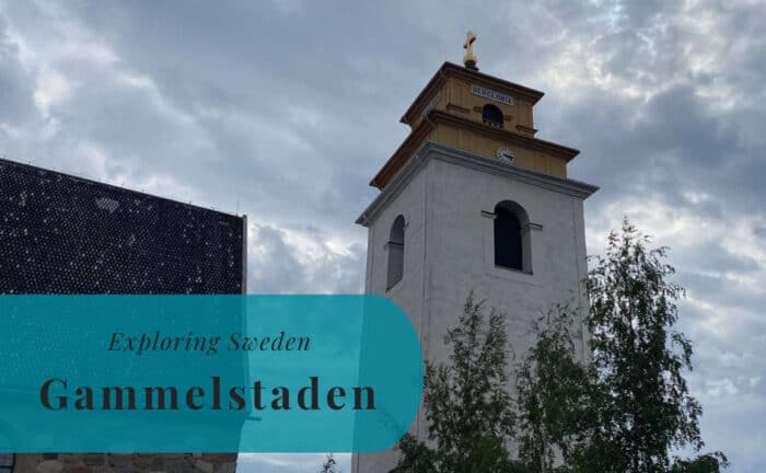
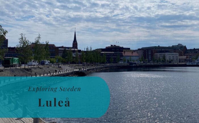
- Luleå: This is Norrbotten’s largest city and a significant port on the Bothnian Bay. Luleå is a key industrial hub, known for its steel industry and university. It boasts a charming archipelago. Gammelstad Church Town, a UNESCO site, sits just outside the city. Luleå is also a major tech center.
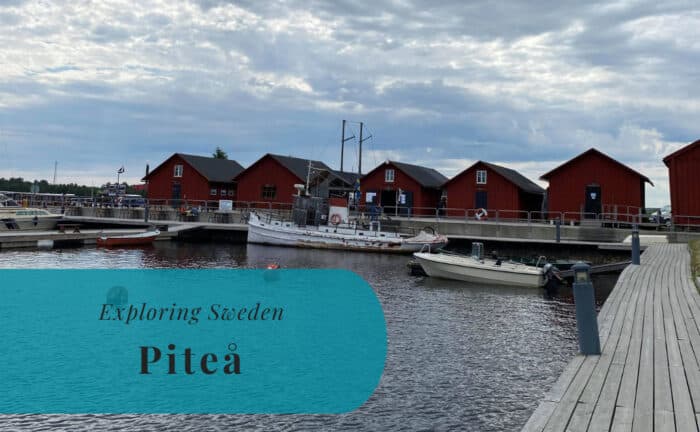
- Piteå: Located south of Luleå, Piteå is a popular coastal town, especially in summer. It’s known for its long sandy beaches, with Pite Havsbad being a large resort. Piteå offers a lively summer atmosphere, and it has strong forestry connections.
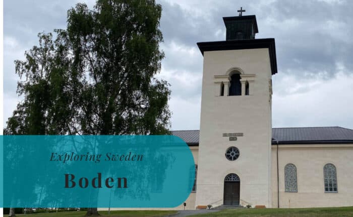
- Boden: Situated inland from Luleå, Boden is historically a military town, hosting a large garrison. Today, it’s a data center hub. This is due to its cold climate and reliable power supply. It offers a unique blend of military history and modern technology.
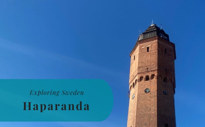
- Haparanda: This border town lies directly on the Swedish-Finnish border. Haparanda is a unique dual-city, connecting to Tornio in Finland. It serves as a major trade point. It also has a distinctive time zone difference.
- Kalix: Positioned along the Kalix River, this coastal town is known for fishing. It’s famous for Kalix Löjrom (vendace roe), a protected delicacy. Kalix blends coastal living with river influence.
Location
Norrbotten occupies northeastern Sweden. It borders Finland to the east. The historical province of Lappland lies to its west. Its extensive coastline meets the Bothnian Bay. This is the northernmost part of the Baltic Sea. Its vast area includes both coastal regions and significant inland forestland.
Geography
Norrbotten’s geography is remarkably diverse. It features flat coastal plains along the Bothnian Bay, with a distinct archipelago. Inland, vast boreal forests (taiga) dominate the landscape, stretching westward. Major rivers flow east. These include the Lule, Torne, and Kalix Rivers. They are crucial for hydropower and fishing. The terrain is generally flat to gently undulating. It’s mixed with wetlands and smaller lakes. This region experiences significant seasonal variations. The Midnight Sun appears in summer. Northern Lights are prominent in winter.
Entry Points to Norrbotten
Norrbotten is well-connected by air and land. This is crucial for accessing this expansive northern region.
By Air
Within the historical province of Norrbotten, Luleå Airport (LLA) serves as the primary air gateway. It’s northern Sweden’s largest airport. LLA offers frequent domestic flights, primarily connecting to Stockholm Arlanda Airport (ARN). Airlines like SAS and Norwegian operate these daily routes. Flights from Stockholm typically take around 1 hour 20 minutes. Luleå Airport also handles international charter flights, especially during peak tourism seasons. The nearby Kallax Air Base contributes to the regional aviation infrastructure. From LLA, taxis, rental cars, and local buses are readily available, connecting you to Luleå city center and surrounding areas.
By Sea
Norrbotten has no major seaports. Its coastline is limited to the Bothnian Bay, in the far southeast. Sea travel is not a primary means of passenger entry. Luleå Port is one of Sweden’s largest, but it primarily handles cargo. Local boat traffic is common here, especially for access to the archipelago. Many guided boat tours operate in summer and icebreakers offer tours in winter.
By Land
Land travel is essential for exploring Norrbotten’s vast interior.
- By Car: The E4 highway runs along the coast. It connects Luleå, Piteå, and Kalix to southern Sweden. This is the main road artery. The drive from Stockholm to Luleå takes about 9-10 hours. Roads are well-maintained. Winter tires are mandatory in cold months. The E10 highway connects Luleå eastward into Finland via Haparanda. Driving offers great flexibility.
- By Train: The Malmbanan (Iron Ore Line) is a key service. It starts in Luleå. It runs through Boden and further north into Lappland. This line is crucial for both freight and passenger transport. It offers a unique Arctic journey. Sleeper cabins are available. Regular train services connect Luleå to Stockholm. These journeys can take 12-14 hours.
- By Bus: Long-distance buses connect Norrbotten’s towns. They link to other parts of Sweden. Companies like Vy bus4you and FlixBus operate routes. Regional bus networks are extensive. They connect communities, though services vary. Buses are a flexible and cost-effective option.
Join Us Exploring Norrbotten!


Explore more of Sweden and Europe