
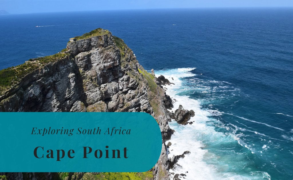
Cape Point | Exploring South Africa
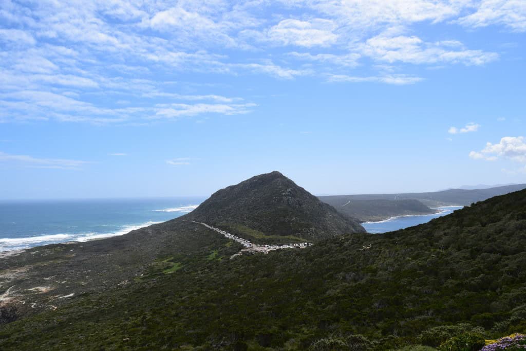
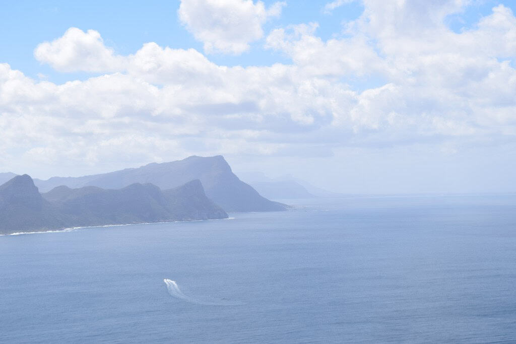
Cape Point is a dramatic and scenic promontory located at the southeastern corner of the Cape Peninsula, in the Western Cape province of South Africa. It is a key feature of the Table Mountain National Park, a UNESCO World Heritage Site. Cape Point is not a town, but rather a protected nature reserve and a major international tourist destination. It is renowned for its spectacular scenery, its rugged cliffs that plunge into the ocean, and its rich biodiversity, including the unique fynbos vegetation.
The identity of Cape Point is defined by its wild, unspoiled nature and its significant maritime history. It is often confused with the nearby Cape of Good Hope, and the two landmarks are part of the same larger headland. While the Cape of Good Hope is the most south-western point of the African continent, Cape Point is the more dramatic, higher peak that features the famous lighthouses. The entire area became known to early sailors as the “Cape of Storms,” a single, formidable obstacle to navigate on the sea route to the East.
Today, Cape Point is the main tourist hub within the nature reserve. It offers visitors a chance to experience the power of nature, and its iconic lighthouses are a central part of the experience. The Flying Dutchman Funicular takes visitors up to the main viewpoint, and a network of scenic walking trails connects the different sights. The combination of its spectacular views and its rich maritime history makes it an essential part of any visit to the Cape Peninsula. It is a place of immense natural beauty and historical significance.

History of Cape Point
The history of Cape Point is a story of maritime exploration, legends, and strategic navigation. The area has been a crucial landmark for sailors for over 500 years. Its history began with the first European explorers who were seeking a sea route to the East. The treacherous weather and seas around the cape gave it a fearsome reputation. The construction of lighthouses in the 19th and 20th centuries was a major development, aimed at making the passage around this dangerous point safer for ships.
The Cape of Storms
The first European to see the cape was the Portuguese explorer Bartolomeu Dias in 1488. He named it the “Cape of Storms” (Cabo das Tormentas) due to the perilous weather conditions he encountered there. According to popular legend, it was King John II of Portugal who later renamed it the “Cape of Good Hope” (Cabo da Boa Esperança) because its discovery was a sign of great optimism. It opened up the sea route to India and the East, which was a major goal for European powers at the time.
A Landmark for Sailors
For centuries, the Cape of Good Hope and Cape Point were major navigational landmarks for the sailors of the Dutch and British East India Companies who were on the long and arduous journey between Europe and Asia. The route around the Cape became one of the most important shipping lanes in the world. The area was a welcome sight for sailors, as it marked the halfway point of their journey. The establishment of a refreshment station at what would become Cape Town in 1652 further solidified the importance of the Cape Peninsula.
The Lighthouses
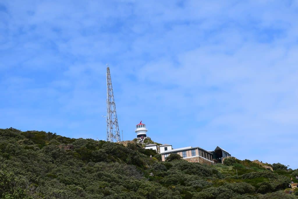
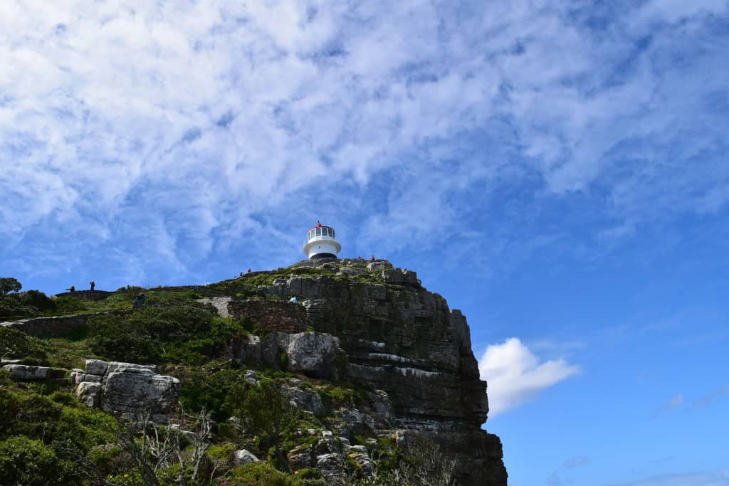
The coastline around Cape Point is notoriously dangerous, with strong winds, powerful currents, and frequent storms. Numerous shipwrecks over the centuries highlighted the need for a lighthouse. The first lighthouse was built on the highest peak of Cape Point in 1859. However, this location proved to be a poor choice, as the light was often obscured by clouds and fog. After the tragic sinking of the Portuguese liner SS Lusitania in 1911, a new, more powerful lighthouse was built at a much lower elevation, closer to the water’s edge. This new lighthouse was completed in 1919 and is still in operation today.


Sights at Cape Point
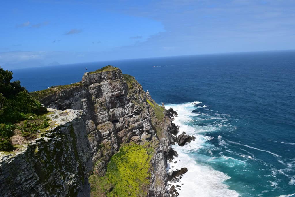
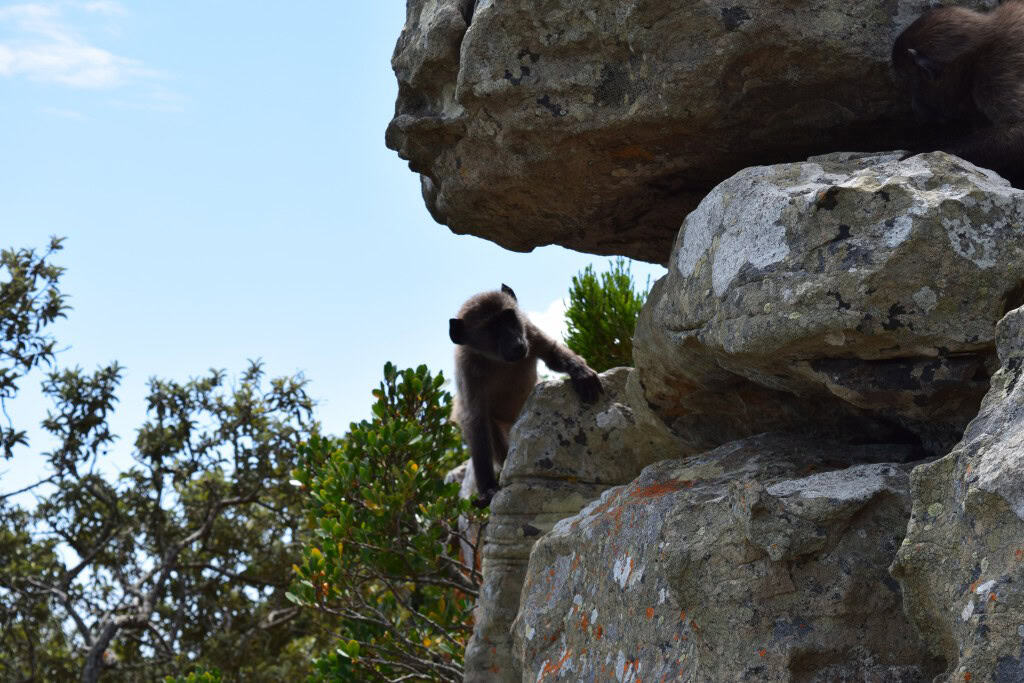
The sights at Cape Point are centered around its spectacular natural scenery and its historic lighthouses. The main attraction is the journey to the old lighthouse at the very peak of the promontory, which offers breathtaking 360-degree panoramic views. This journey can be made either by a scenic walk or by riding the Flying Dutchman Funicular. The nearby Cape of Good Hope, the southwesternmost point of the African continent, is another major landmark. The entire area is a protected nature reserve, and its rugged coastline and unique fynbos vegetation are a sight in themselves.
The Old Lighthouse and Viewpoint
The old lighthouse, which was built in 1859, stands at the highest point of the Cape Point peak, 238 meters above the sea. While it is no longer in operation, the historic lighthouse serves as the main viewing platform for visitors. A steep but paved path, known as the Lighthouse Keeper’s Trail, leads up to the summit. From the top, the panoramic views are absolutely spectacular. You can see the entire Cape Peninsula, the vast expanse of the Atlantic Ocean, and the waters of False Bay.
The Flying Dutchman Funicular
For those who do not wish to walk up the steep path to the old lighthouse, the Flying Dutchman Funicular provides a quick and scenic alternative. The funicular railway is named after the legendary ghost ship, the Flying Dutchman, which is said to haunt the waters of the Cape. The funicular takes visitors from the lower station near the car park up to the upper station, just below the old lighthouse. The ride itself offers beautiful views of the surrounding landscape and the sea.
The New Lighthouse Trail
From the main viewpoint at the old lighthouse, a narrow and dramatic hiking trail leads down towards the new, active lighthouse. This trail is not for the faint of heart, as it is very steep and runs along the edge of a high cliff. However, for those who are able, the trail offers some of the most spectacular and dramatic coastal scenery in the entire national park. The new lighthouse itself is located at a much lower elevation and is not open to the public, but the trail provides excellent views of it.
The Cape of Good Hope
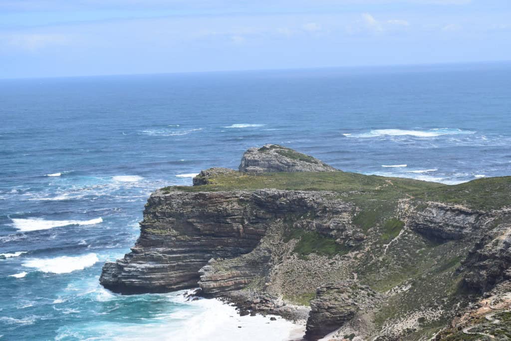
The Cape of Good Hope is the famous rocky headland located to the west of Cape Point. It is the southwesternmost point of the African continent. A popular activity for visitors is to hike the scenic trail that connects Cape Point with the Cape of Good Hope. A famous signpost at the Cape of Good Hope marks its geographical significance and is a very popular spot for taking photos. The area is also a great place to spot wildlife, including seals and dassies.


How to Get to Cape Point?
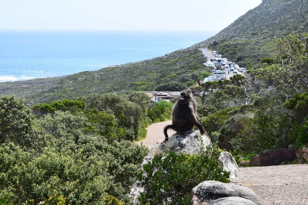
Cape Point is located at the southern end of the Cape Peninsula, approximately 60 kilometers south of the city of Cape Town. The most common and scenic way to get there is by driving. There is no direct public transport to the entrance of the park. The main gateway for international visitors is Cape Town International Airport (CPT). From the airport and the central city, a road trip to Cape Point is one of the most popular and famous day excursions.
Arriving by Air
The main airport for the region is Cape Town International Airport (CPT). It is the second-busiest airport in South Africa. From the airport, the easiest way to reach Cape Point is to rent a car. The drive from the airport to the entrance of the Cape Point nature reserve takes about one to one and a half hours, depending on traffic.
Driving to the Site
Driving to Cape Point is a spectacular experience in itself. The most famous route is to take a full-day trip around the Cape Peninsula. This scenic drive takes you from Cape Town, along the beautiful Atlantic Seaboard, over the famous Chapman’s Peak Drive, and then down to Cape Point. The return journey can be made along the False Bay coast, passing through the historic town of Simon’s Town. This circular route is one of the most beautiful coastal drives in the world.
Connecting by Train and Taxi
For those without a car, it is possible to reach the area by a combination of public transport and a taxi. The Southern Line of the Metrorail train runs from the central station in Cape Town to the town of Simon’s Town. From Simon’s Town, you would then need to hire a local taxi or a tour operator for the final 20-kilometer journey to the entrance of the Cape Point nature reserve. This is a more complicated but possible option.
Driving Distances
The driving distance from 20 regional cities, according to Google Maps:
- Simon’s Town, South Africa – 20 kilometers (0 h 25 min)
- Fish Hoek, South Africa – 25 kilometers (0 h 30 min)
- Muizenberg, South Africa – 35 kilometers (0 h 40 min)
- Cape Town, South Africa – 60 kilometers (1 h 10 min)
- Stellenbosch, South Africa – 85 kilometers (1 h 30 min)
- Paarl, South Africa – 115 kilometers (1 h 40 min)
- Hermanus, South Africa – 145 kilometers (2 h 10 min)
- Swellendam, South Africa – 245 kilometers (2 h 50 min)
- Cape Agulhas, South Africa – 250 kilometers (3 h 10 min)
- Mossel Bay, South Africa – 420 kilometers (4 h 30 min)
- Oudtshoorn, South Africa – 450 kilometers (5 h 00 min)
- George, South Africa – 460 kilometers (4 h 50 min)
- Beaufort West, South Africa – 490 kilometers (5 h 00 min)
- Plettenberg Bay, South Africa – 530 kilometers (5 h 30 min)
- Springbok, South Africa – 590 kilometers (6 h 00 min)
- Graaff-Reinet, South Africa – 680 kilometers (6 h 50 min)
- Gqeberha, South Africa – 760 kilometers (7 h 40 min)
- Upington, South Africa – 810 kilometers (8 h 10 min)
- Kimberley, South Africa – 960 kilometers (9 h 40 min)
- Bloemfontein, South Africa – 1010 kilometers (10 h 10 min)
Looking to Explore more of South Africa and Africa?




This was a fantastic read—your photos and descriptions really captured the rugged beauty of Cape Point. I especially loved how you clarified that Cape Point itself (not the Cape of Good Hope) is the more dramatic, higher promontory within Table Mountain National Park—it’s fascinating and not always well known! The article made me feel like I was right there amid the cliffs, fynbos, and ocean beyond.