Kokkola (Karleby) | Exploring Finland
Kokkola is a town in northern Finland, in the region of Central Ostrobothnia of which it is the capital. The municipality has a large Swedish-speaking minority of around 12% and the town is also well-known by its Swedish name Karleby. The town lies along the coast of the Baltic Sea, or rather the Gulf of Bothnia. It is home to around 36.000 inhabitants, as well as one of the largest harbors in Finland. The harbor area is also home to the huge zinc plant of Boliden Kokkola.


A Short History of Kokkola
Finland was for centuries a part of Sweden and it was the Swedish King Gustav II Adolf who founded Karleby in 1620, making it one of the oldest towns in today’s Finland. Karleby was at the time a producer of tar. Shipping and shipbuilding became increasingly important for the town over the following centuries. Especially, after the Swedish Parliament gave the town its staple rights in 1765.
Kokkola and the rest of Finland became a part of Russia in 1809. As a result, the Crimean War affected Finland in the 1850s. Kokkola saw some action when Royal Marines from HMS Vulture and HMS Odin tried to land in the town. However, local defenders prevented the troops from landing in the town and a gunboat that was used in the attack was captured. This gunboat is still in the town’s possession.
Karleby was majority Swedish-speaking until 1933. The town was known by the name Gamlakarleby at the time. Gamlekarleby, or Kokkola, was the town and then there was the rural municipality of Karleby, or Kaarlela in Finnish. The town and the rural municipality were merged in 1977 and the town took the Swedish name Karleby.




Things to Do and See
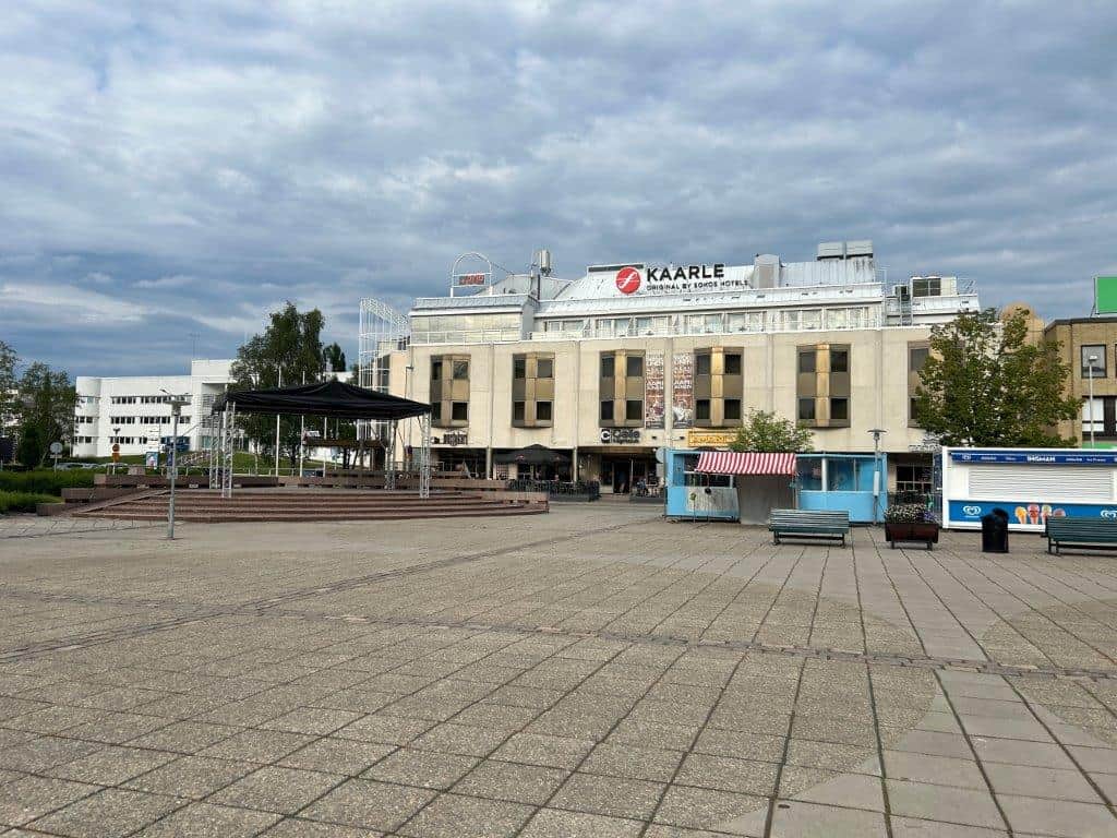
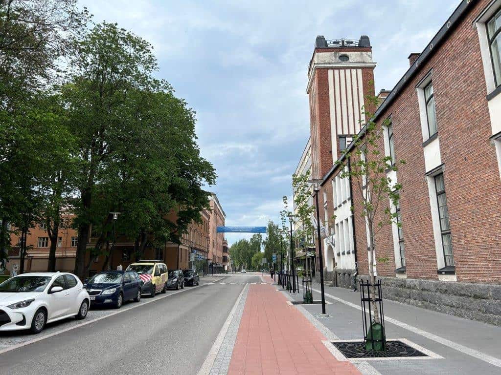
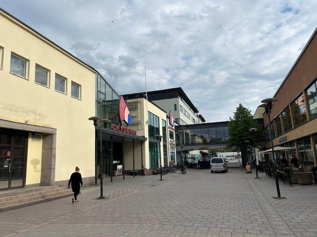
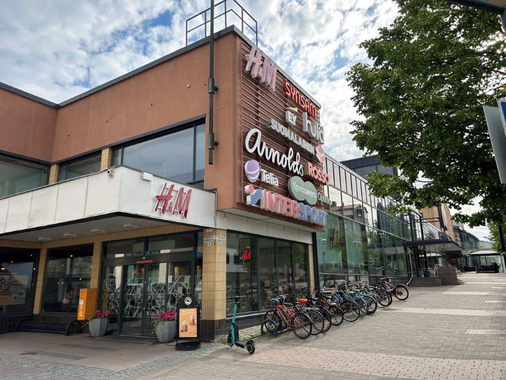
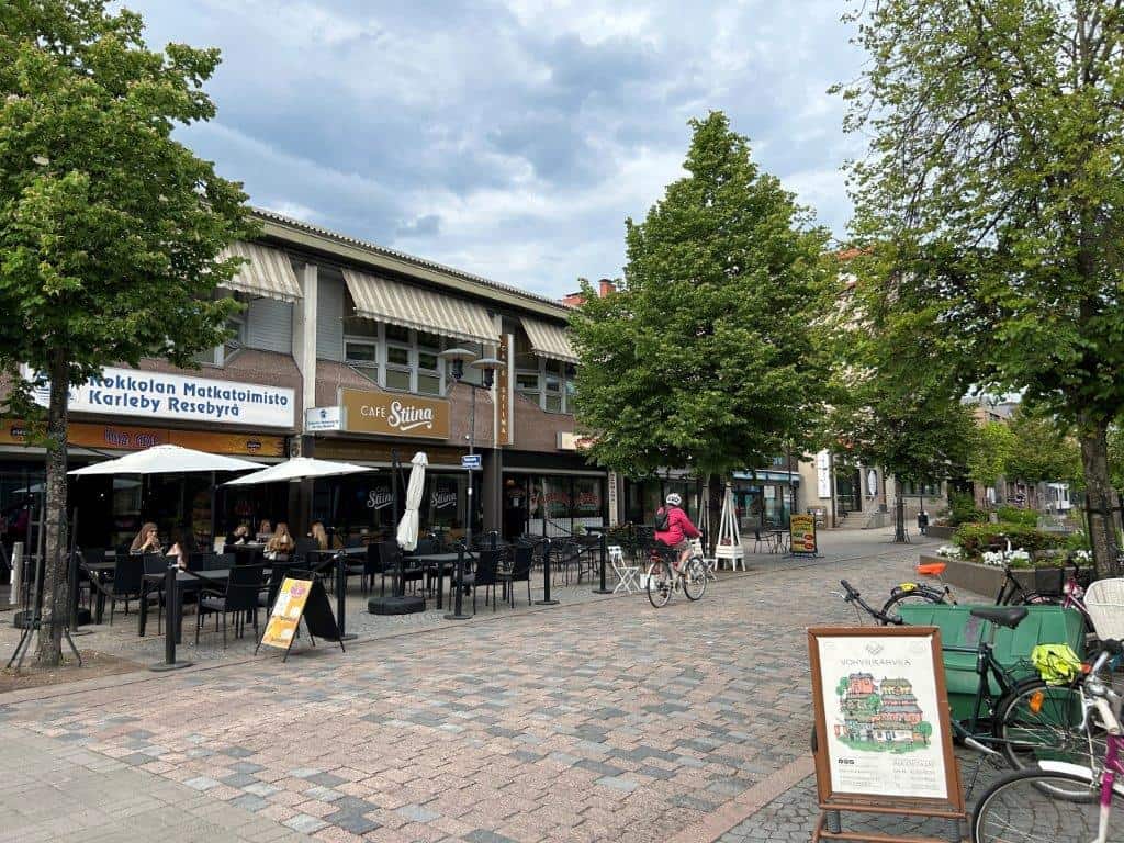
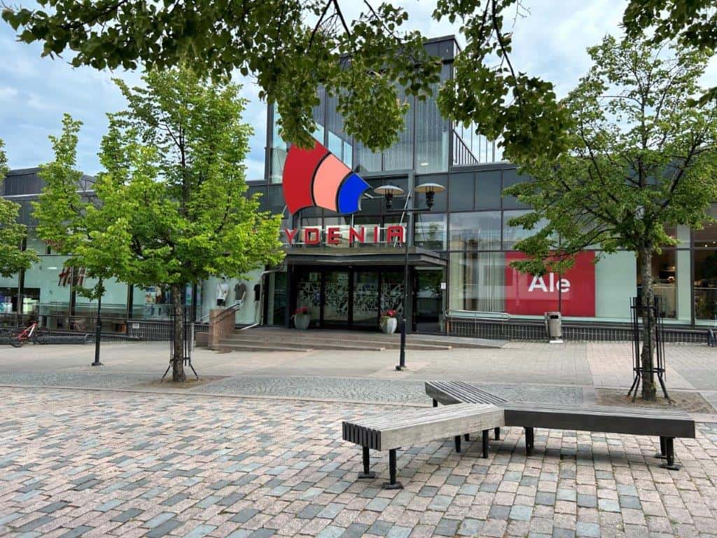
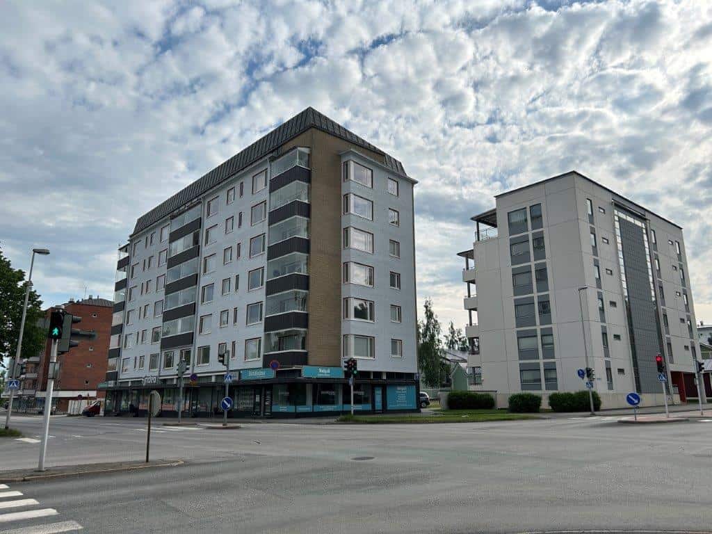
Kokkola is a fairly large town along the Finnish coast and there are several historical sights to explore. Many of these are in the center of the town, with both administrative buildings and the more historical neighborhoods of Neristand and Oppistan. While the coastal areas along the Gulf of Bothnia are to the north, there are also larger commercial areas to the south.
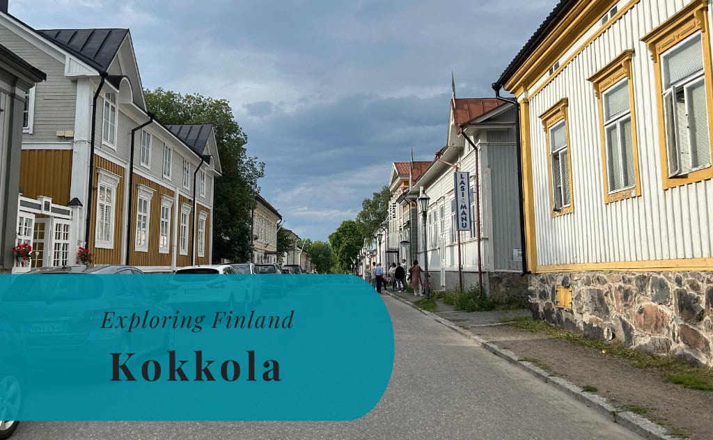
Neristan
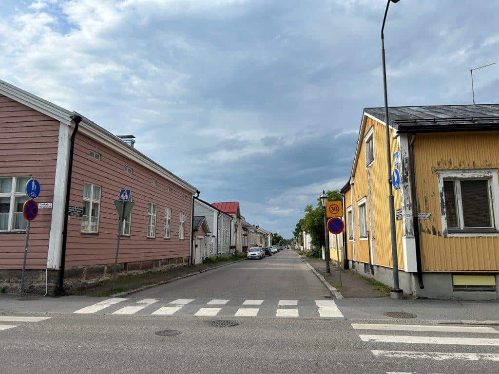
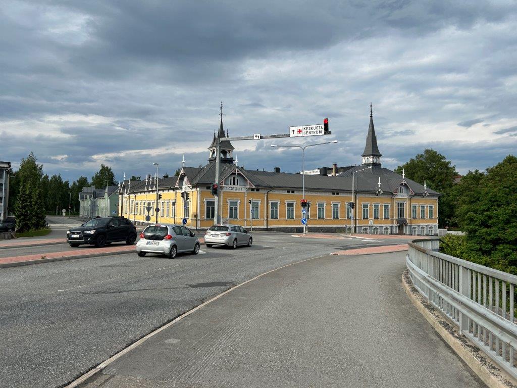
Neristan, is the old district of Kokkola with its wooden houses. The oldest of the buildings here dates back to the 17th century. The name Neristan means the lower town. There is also Oppistan, or the upper town, which was mostly established in the 19th century with wealthier inhabitants.
Stadssundet
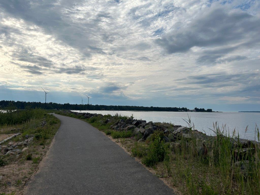
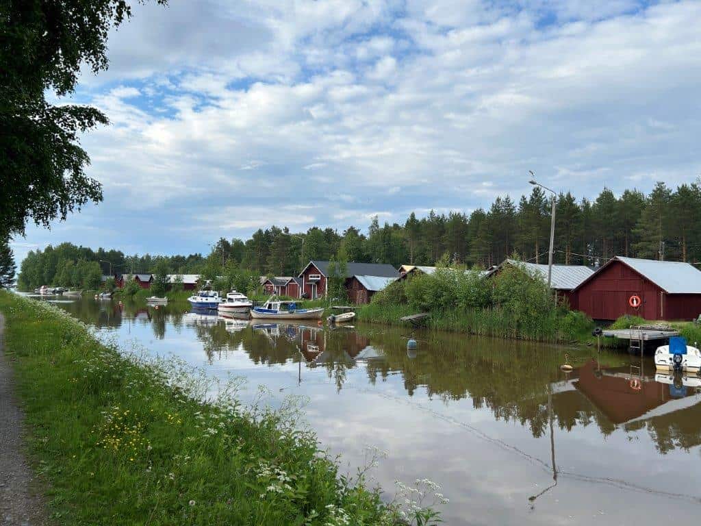
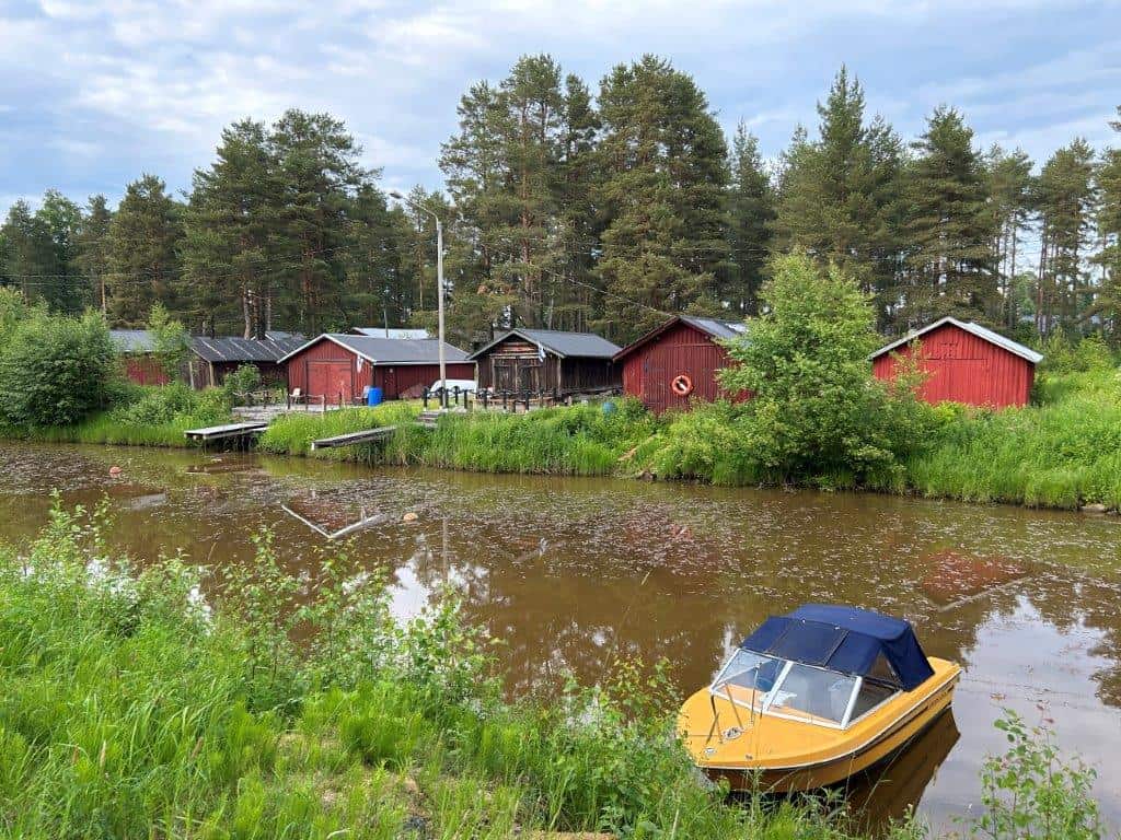
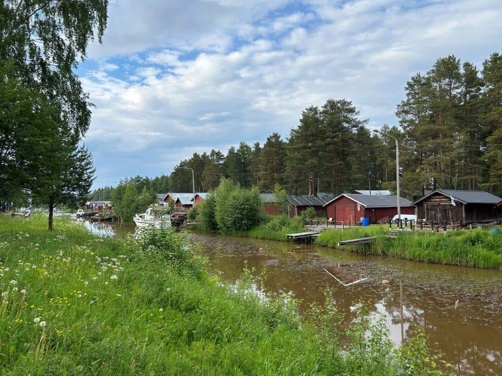
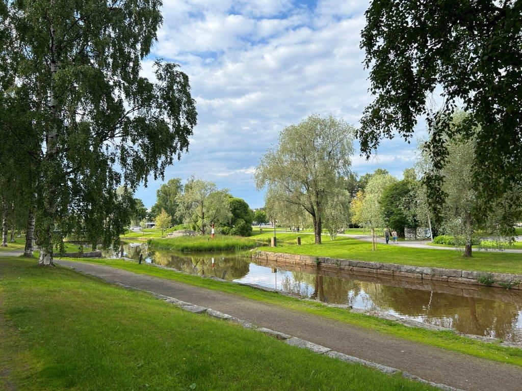
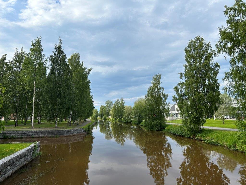
The Sunti Strait is Stadssundet in Swedish and Kaupunginsalmi Sunti in Finnish. This was earlier a larger bay that connected the center of Kokkola with the Baltic Sea. The bay is smaller today but its shores are home to a larger recreational area with pedestrian and cycling paths following the strait for 2.5 kilometers to the real coast. There are parks such as the Keskuspuisto and the Englanninpuisto here as well as several picturesque views of boat houses.
Meripuisto
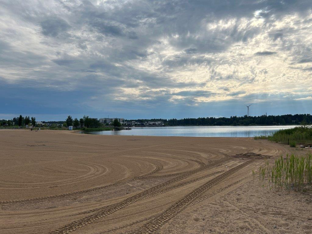
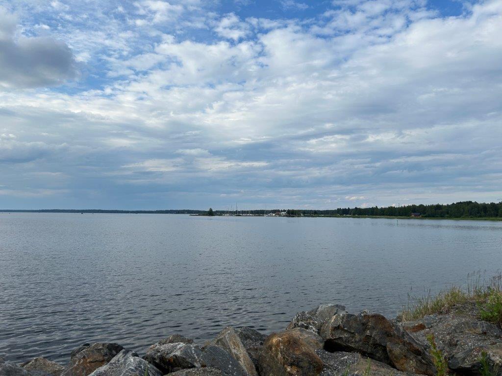
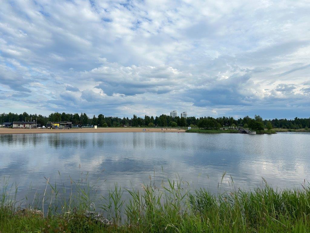
The Meripuisto is a larger park area right on the coast. It is here that you will find a large sandy beach as well as space for several other outdoor activities. There is a smaller marina and even a camping ground here. It is a place to enjoy the seaside views.




How to Get to Kokkola
- Flights: Kokkola-Pietarsaari Airport (KOK) lies to the south. The airport has a few domestic routes, as well as seasonal charter flights.
- Car: Kokkola lies at the intersection between Road E8 and Road 13. Along the E8 it lies between Vaasa and Kalajoki while it is the northernmost point of Road 13 with Kaustinen to the southeast.
- Train: Kokkola has a train station. Here you will find trains to and from places such as Helsinki, Oulu, and Rovaniemi.
The driving distance from 5 major Finnish cities, according to Google Maps:
- Helsinki – 427 kilometers (5 h 20 min)
- Turku – 448 kilometers (5 h 10 min)
- Vaasa – 121 kilometers (1 h 25 min)
- Oulu – 199 kilometers (2 h 40 min)
- Joensuu – 427 kilometers (5 h 20 min)
Looking to Explore more of Finland and Europe?