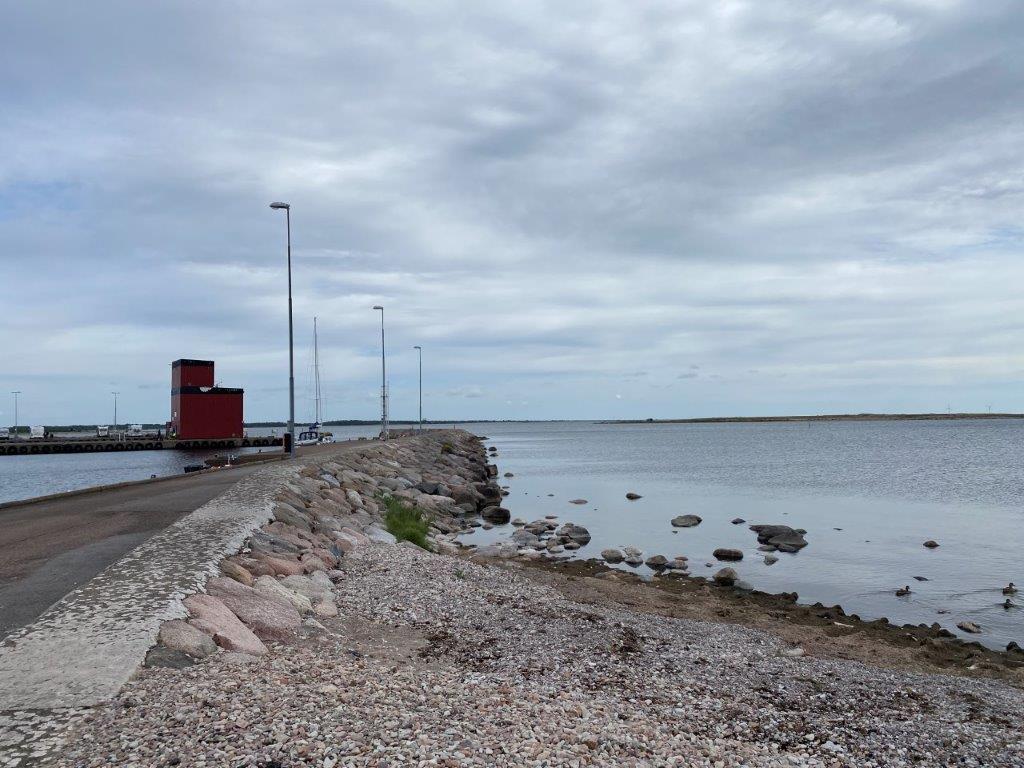
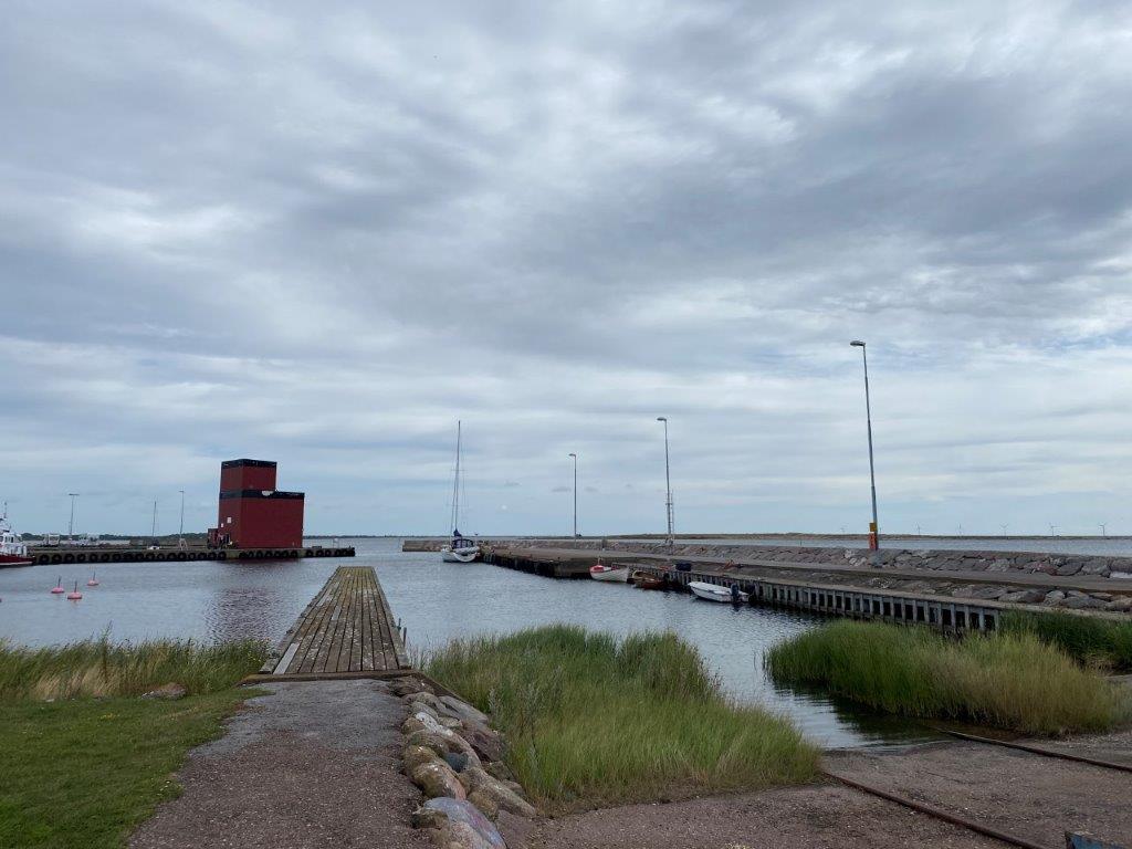
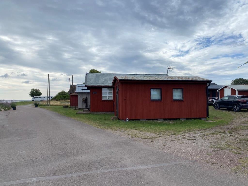
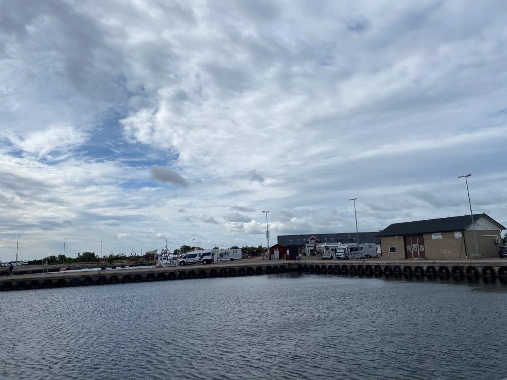
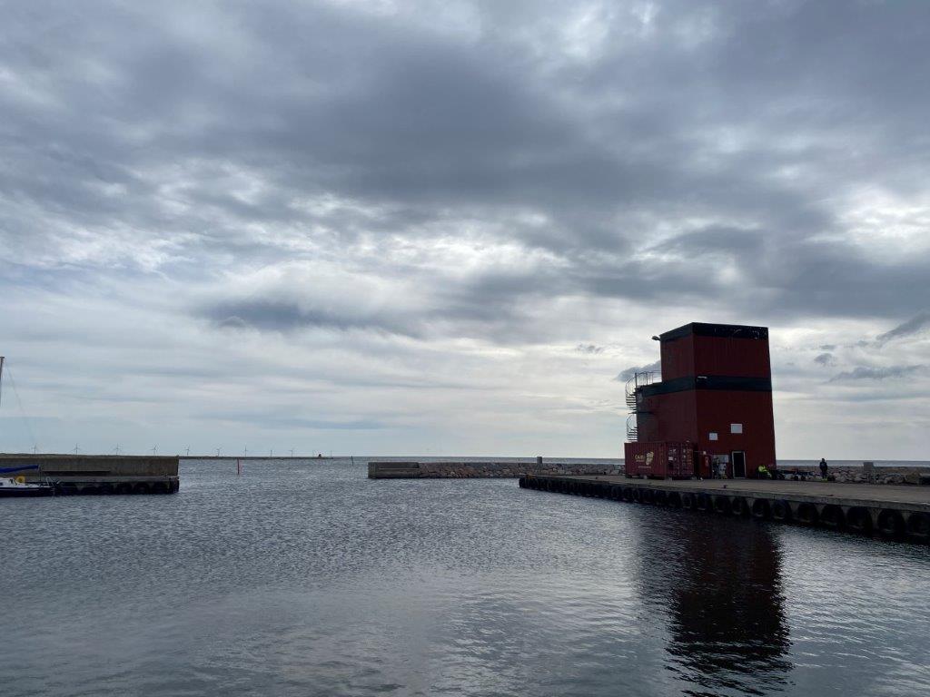
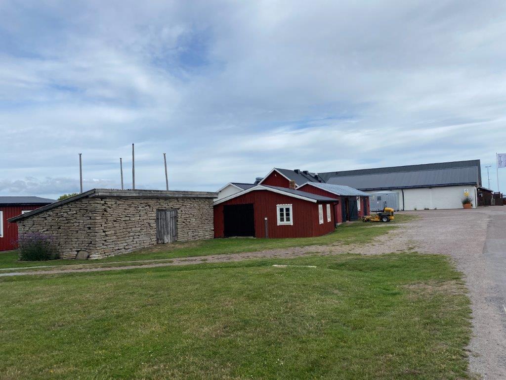
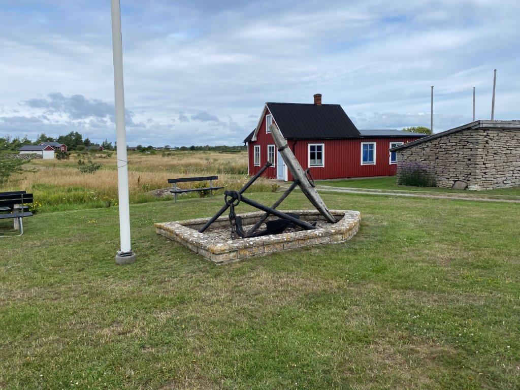
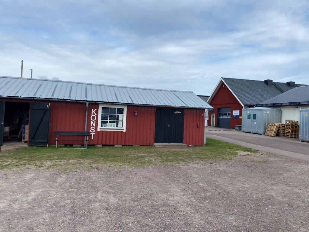
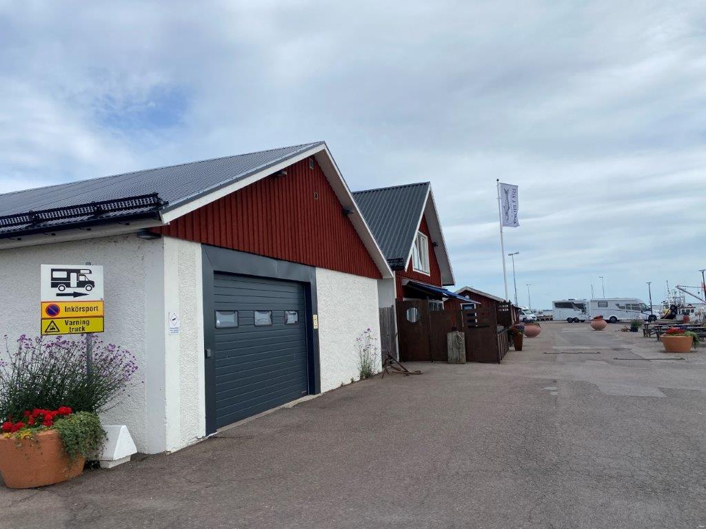
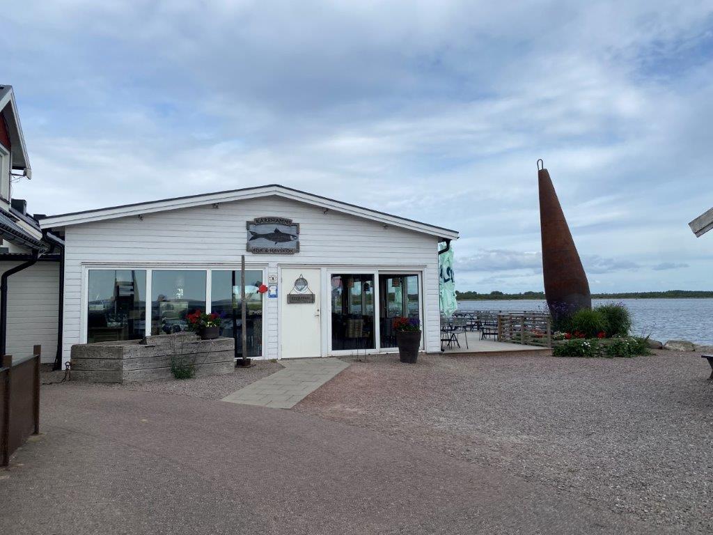
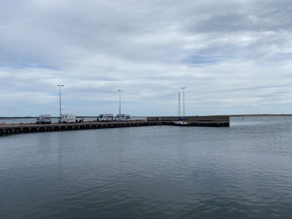
Kårehamn is a small fishing settlement and harbor along the eastern shores of Öland, the second largest island in Sweden. It is today a popular motorhome stopover with a large part of the harbor filled by motorhomes (or recreational vehicles) during the summer months. In addition to a local restaurant, there are also a few year-around residents living in the vicinity of the harbor.


A Short History of Kårehamn
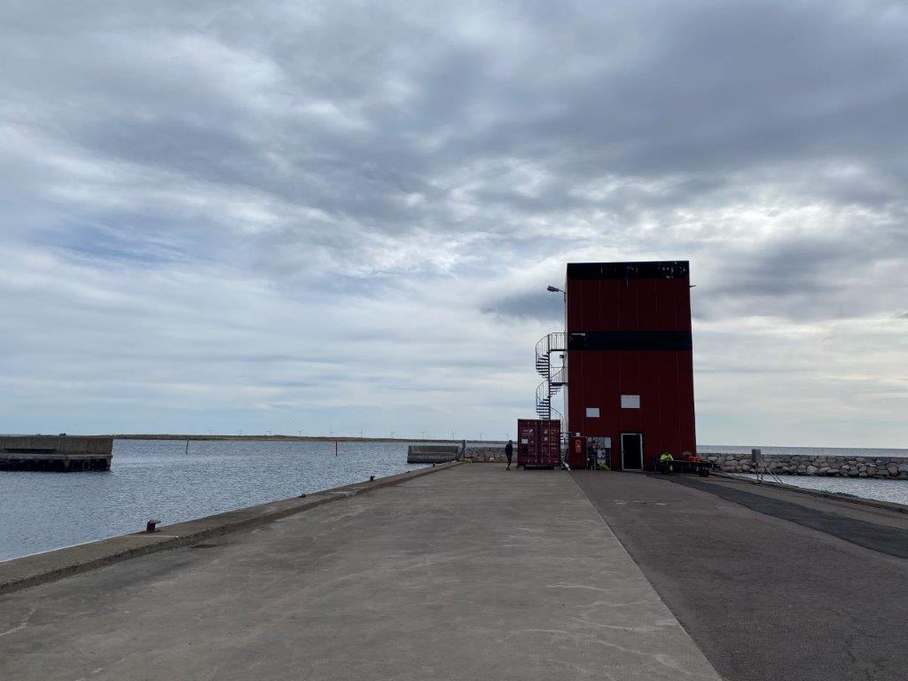
Kårehamn has a long history as a fishing village, but this was also once the location of a pilot station as well as what was known as a beach riders, “strandridare” in Swedish. The riders were there to surveillance the Swedish shores and was in operation between 1691 and 1810. The coastal surveillance from here was decommissioned in 1934.
Things to Do and See
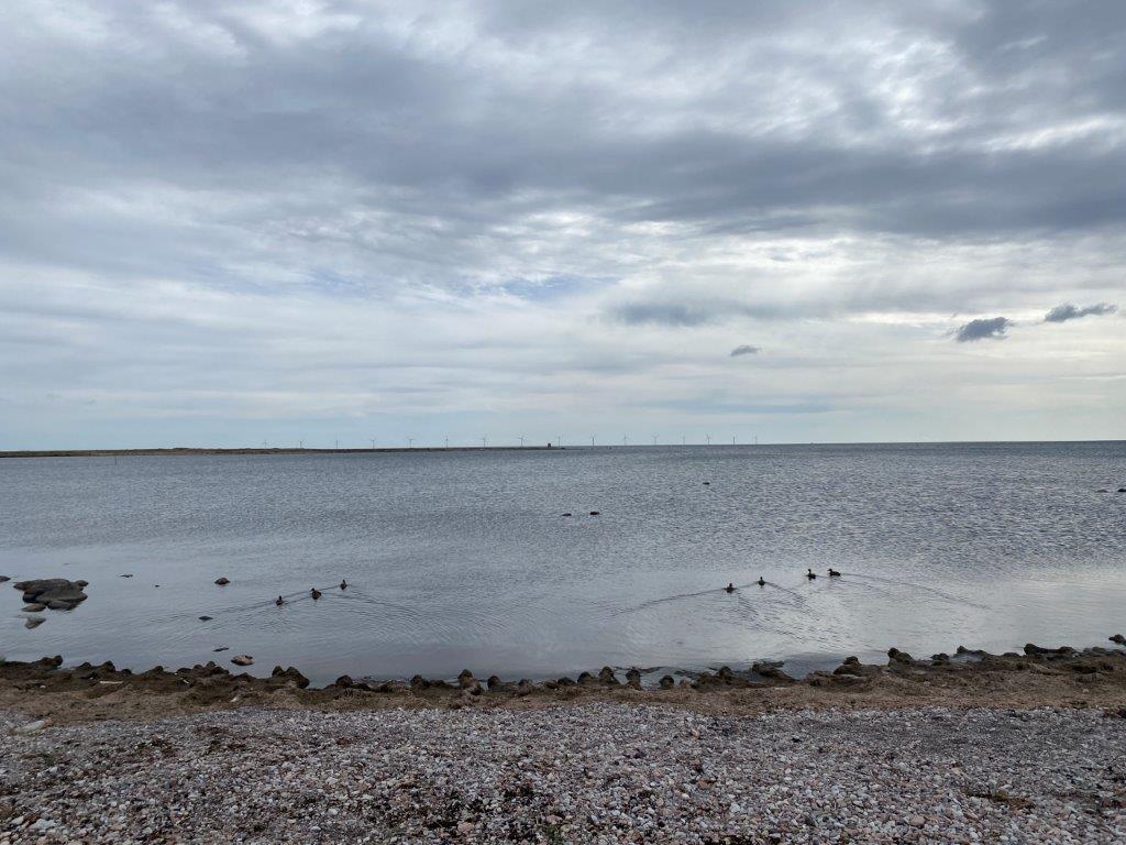
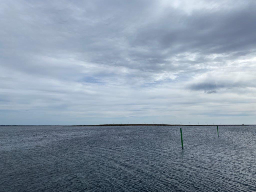
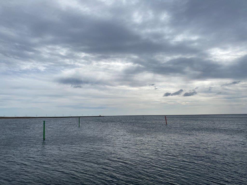
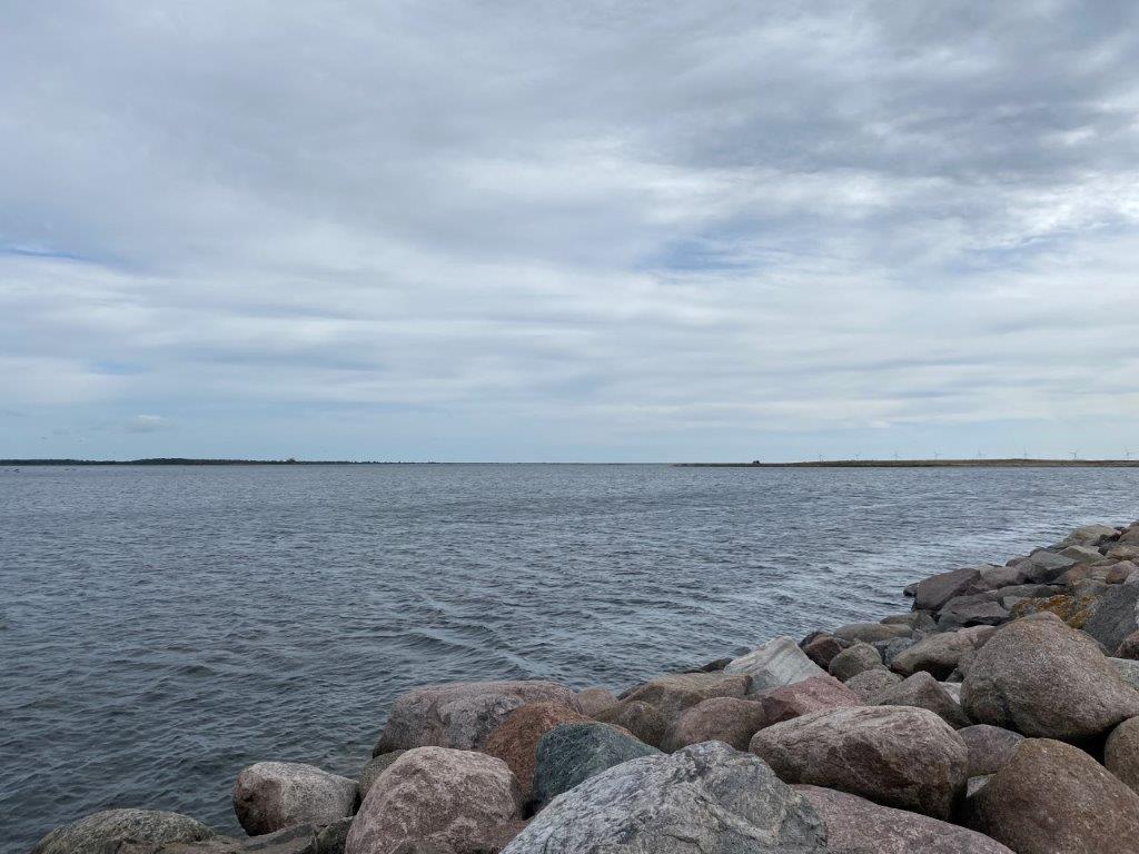
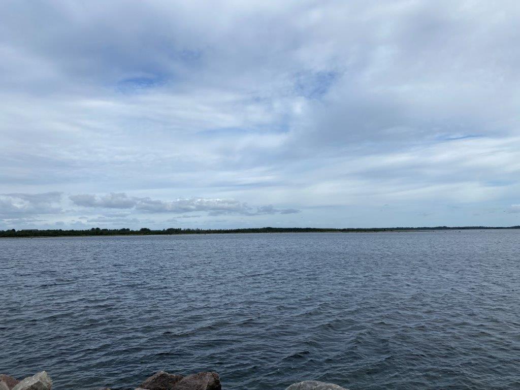
Watching out towards the east will provide a view of what seems to be a never ending Baltic Sea. But directly to the east is actually the southernmost tip of Gotland, the largest island in Sweden. It is the small fishing harbor that is the main attraction with its beautiful views of the Baltic Sea. Just south of the harbor is also Kårehamn Beach, a long sandy beach with a similar view as the harbor.
How to Get to Kårehamn
- Flights: The nearest airport is Kalmar Öland Airport (KLR), which is 60 kilometers to the southwest.
- Car: Kårehamn is along countryside roads northeast of Borgholm.
The driving distance from 5 major Swedish cities, according to Google Maps:
- Stockholm – 465 kilometers (5 h 20 min)
- Gothenburg – 393 kilometers (4 h 40 min)
- Malmö – 330 kilometers (4 h)
- Linköping – 289 kilometers (3 h 40 min)
- Kiruna – 1695 kilometers (18 h 10 min)
Explore More of Sweden and Öland