Hout Bay | Exploring South Africa
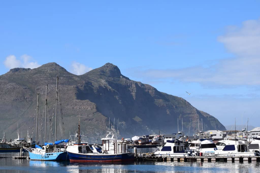
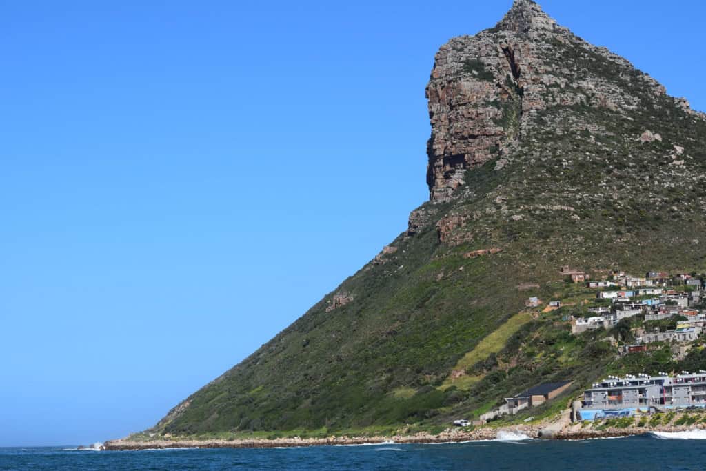
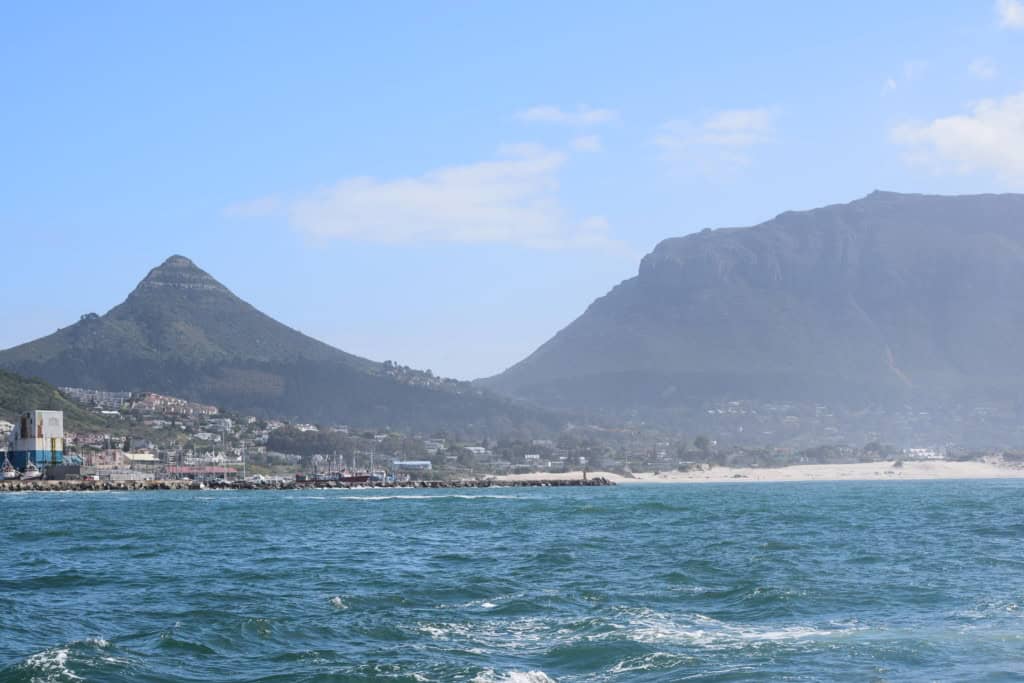
Hout Bay is a seaside town located in a valley on the Atlantic coast of the Cape Peninsula, in South Africa. It is a suburb of the city of Cape Town. The town is situated in a beautiful bay that is framed by the dramatic peak of the Sentinel on one side and the famous Chapman’s Peak Drive on the other. With a population of around 18,000 inhabitants, Hout Bay is known for its beautiful scenery, its bustling fishing harbor, and its relaxed, village-like atmosphere.
The identity of Hout Bay is that of a traditional fishing village that has grown into a popular residential area and tourist destination. Its name is Afrikaans for “Wood Bay,” a name that was given to it by the early Dutch settlers for its beautiful forests. Today, the town is a hub of activity. The working harbor is a major attraction, and the boat trips to see the seal colony on Duiker Island are a very popular activity. Its combination of natural beauty and a lively harbor makes it a key stop on any tour of the Cape Peninsula.
History of Hout Bay
The history of Hout Bay is a story of a sheltered valley that has been valued for its natural resources since the earliest days of European settlement at the Cape. Its name, which is Afrikaans for “Wood Bay,” was given to it by the first Dutch settlers in the 17th century. For centuries, the valley’s dense forests were a vital source of timber for the growing colony at Cape Town. The bay later developed into a small fishing village, a character that it still retains to some extent today. In the 20th century, the town grew into a popular residential suburb of Cape Town, prized for its beautiful scenery and its relaxed, village-like atmosphere.
A Source of Timber
The history of Hout Bay began in 1652, the year that the Dutch East India Company (VOC) established its refreshment station at the Cape. The valley of Hout Bay was quickly identified as having the best forests in the entire Cape Peninsula. The indigenous forests were a crucial source of timber for the construction of the new settlement and its defensive fort, the Castle of Good Hope. The timber was also used for repairing the many ships that called at the Cape. The first road to be built outside of the main settlement of Cape Town was the road to Hout Bay, which was constructed to transport this valuable timber.
The felling of the forests continued for many decades, and the valley was a key part of the early colonial economy. Several blockhouses, or small defensive forts, were built in the area to protect the timber resources from potential foreign invasion. The most famous of these is the ruin of Gordon’s Blockhouse. As the indigenous forests were depleted, the Dutch began to plant oak trees to replace them. The valley also became home to several farms, which supplied fresh produce to the main settlement. This early history as a source of timber is what gave the bay its name and its initial importance.
A Fishing Village and Modern Suburb
In the 19th century, as the timber resources declined, Hout Bay began to develop into a small fishing village. The sheltered bay provided a safe anchorage for fishing boats. The community was small and relatively isolated for many years, and it developed its own unique, close-knit character. Fishing became the main industry of the village, and it remains an important part of the town’s identity to this day. The historic harbor is still a working fishing harbor.
The major transformation of Hout Bay into a popular residential suburb began in the 20th century. The construction of the spectacular coastal road, Chapman’s Peak Drive, in the 1920s, made the town much more accessible. This, combined with the growth of the city of Cape Town, led to a boom in residential development. The town became a popular place to live for those who wanted a more relaxed, seaside lifestyle while still being close to the city. In the modern era, Hout Bay has continued to grow, and it is now a vibrant and diverse community with a thriving tourism industry.



Sights in Hout Bay
The sights in Hout Bay are centered around its beautiful natural setting and its vibrant working harbor. The main attraction is the harbor itself, with its colorful fishing boats and the famous Mariner’s Wharf complex. A boat trip from the harbor to see the seal colony on Duiker Island is an essential Hout Bay experience. For one of the most spectacular coastal drives in the world, the famous Chapman’s Peak Drive starts from Hout Bay.
Hout Bay Harbour
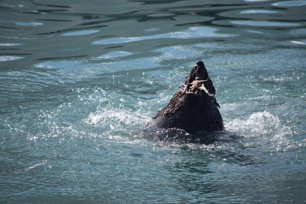
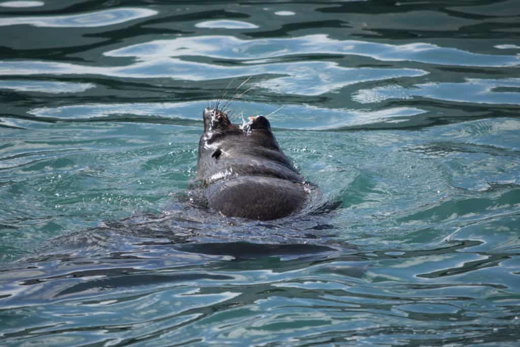
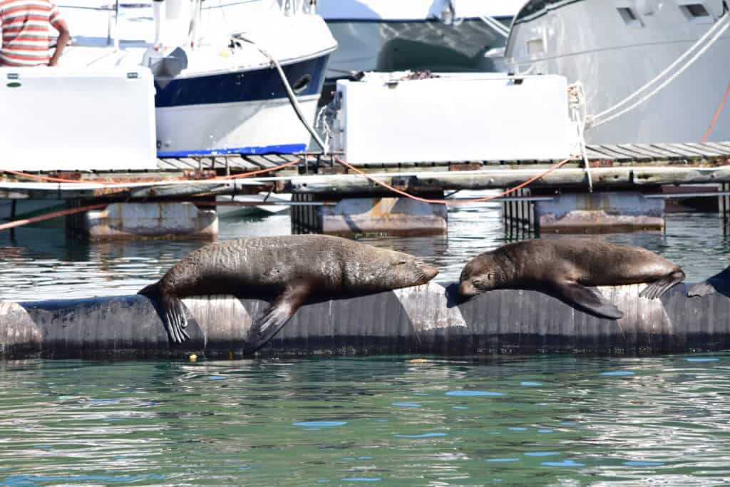
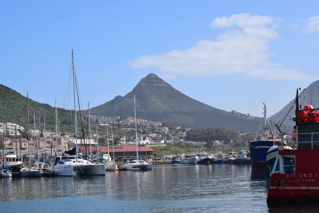
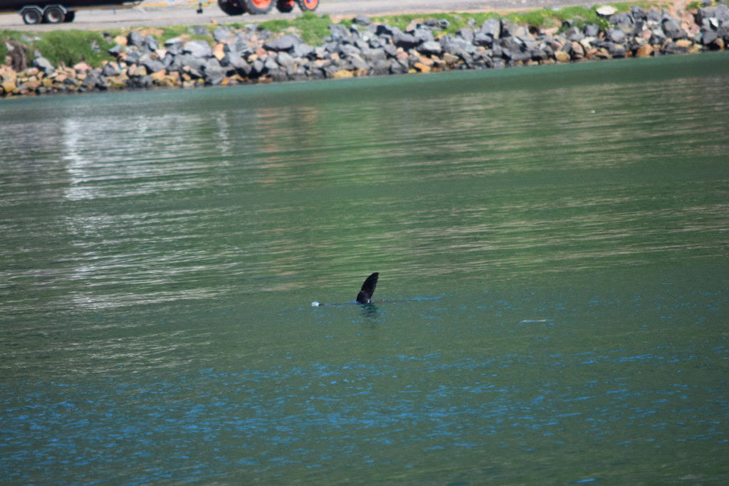
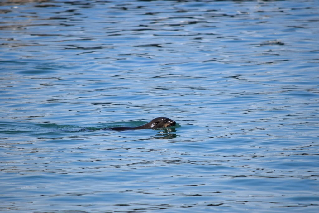
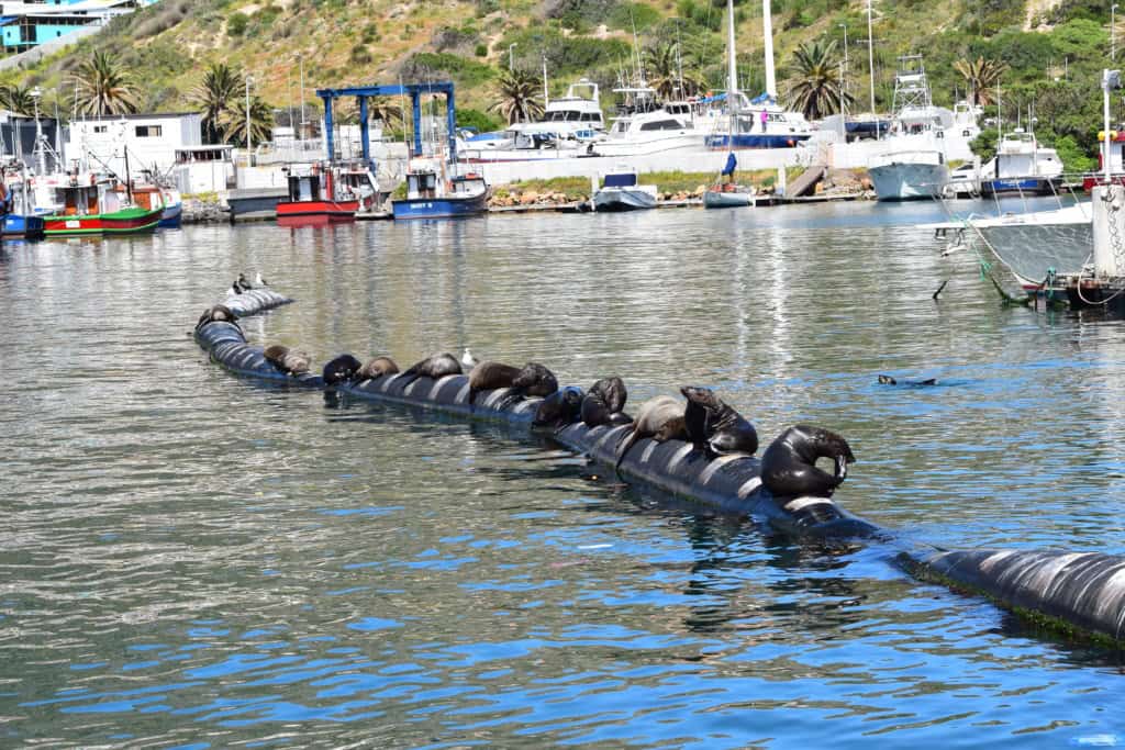
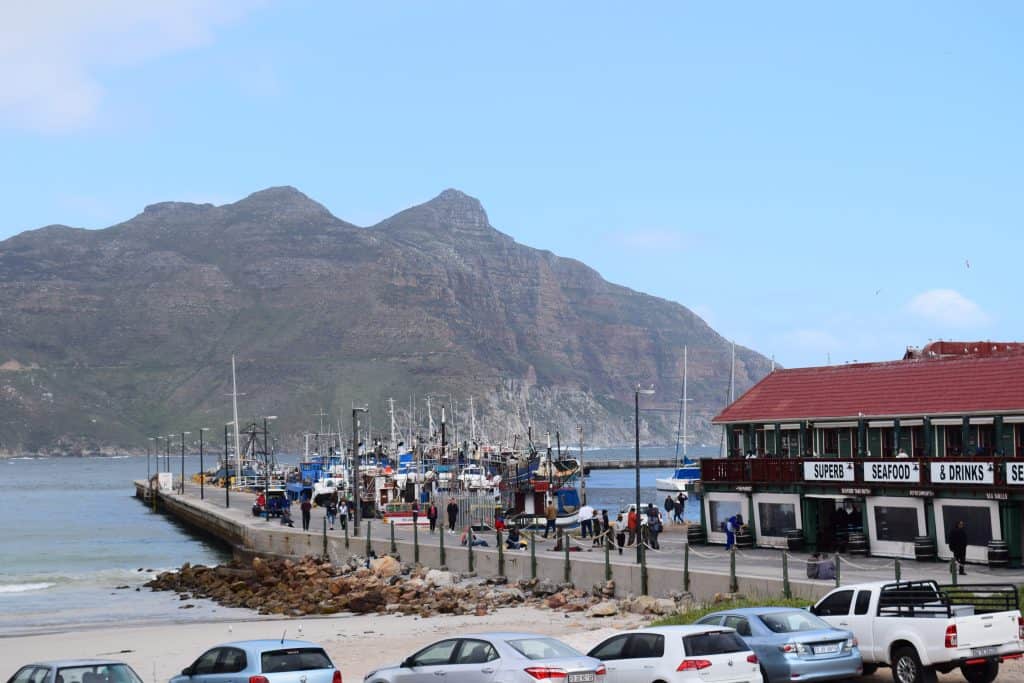
The Hout Bay Harbour is one of the busiest fishing harbors on the Western Cape coast, and it is a major attraction for visitors. The harbor is a very atmospheric and authentic place. You can watch the colorful fishing boats bring in their daily catch of tuna and snoek. The harbor is also home to a large population of playful Cape Fur Seals, which are often seen swimming in the harbor or waiting for scraps from the fishermen. The harbor has several excellent seafood restaurants that serve the fresh catch of the day.
Mariner’s Wharf
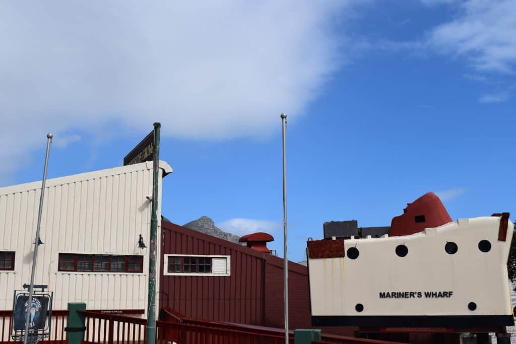
Mariner’s Wharf is a large and popular commercial complex located directly in the Hout Bay Harbour. It was the first harbor-front emporium in the Southern Hemisphere. The complex includes a fish market, several restaurants, and a variety of souvenir and gift shops. The wharf has a very strong maritime theme, and its buildings are designed to look like an old fishing village. It is a very popular spot for lunch, and its fish and chips are famous throughout Cape Town.
Duiker Island (Seal Island)
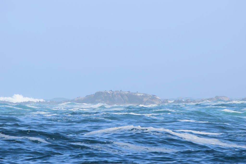
Duiker Island, also known as Seal Island, is a small rocky island located just off the coast of Hout Bay. The island is home to a massive colony of thousands of Cape Fur Seals. Several local companies offer boat trips from the Hout Bay Harbour out to the island to see the seals. The boat tours get very close to the island, providing fantastic opportunities to watch and photograph the seals as they sunbathe on the rocks and swim in the surrounding water. The boat trip is a fun and exciting wildlife experience for the whole family.

Getting Around in Hout Bay
Navigating the town of Hout Bay is best done with a combination of walking and using a car. The main harbor area and the beachfront are pleasant and easy to walk around. A car is the most convenient option for reaching Hout Bay and for exploring the surrounding areas, especially for driving the famous Chapman’s Peak Drive. The City Sightseeing hop-on-hop-off bus also provides a very convenient connection to the town.
Exploring by Foot
The heart of Hout Bay, which includes the main beach, the harbor, and the Mariner’s Wharf complex, is very walkable. A stroll along the long, sandy beach is a popular activity. The harbor area is also a fascinating place to explore on foot, with its fishing boats and many shops and restaurants. Walking is the best way to soak in the lively and authentic atmosphere of this working fishing harbor.
Using the City Sightseeing Bus
A very convenient and popular option for tourists is the red City Sightseeing hop-on-hop-off bus. Both the Blue Mini Peninsula Tour route and the Purple Wine Tour route have dedicated stops in Hout Bay. The bus stops at the main harbor, providing easy access to the boat trips to Seal Island. This is a very easy and popular way for visitors to reach the town and its main attractions.
How to Get to Hout Bay?
Hout Bay is located on the Atlantic coast of the Cape Peninsula, about 20 kilometers south of the city center of Cape Town. The main gateway for international visitors is Cape Town International Airport (CPT). From the central city, Hout Bay is easily accessible by car or by the City Sightseeing tourist bus. The drive to Hout Bay is a very scenic one, taking you along the beautiful Atlantic Seaboard.
Driving to the Town
Driving to Hout Bay is a spectacular experience. The most beautiful route is the coastal road that runs from the city center of Cape Town, through the upscale suburbs of Sea Point and Camps Bay. This road offers stunning views of the Atlantic Ocean and the Twelve Apostles mountain range. Hout Bay is also the starting point for the famous Chapman’s Peak Drive, which is one of the most scenic coastal drives in the world.
Connecting by Bus
The MyCiTi public bus system has a route that connects the city center of Cape Town with Hout Bay. This provides an affordable public transport option for reaching the town. The most convenient option for tourists is the City Sightseeing hop-on-hop-off bus, which makes several stops in Hout Bay.
Driving Distances
The driving distance from 20 regional cities, according to Google Maps:
- Cape Town, South Africa – 20 kilometers (0 h 25 min)
- Stellenbosch, South Africa – 55 kilometers (0 h 50 min)
- Paarl, South Africa – 85 kilometers (1 h 10 min)
- Hermanus, South Africa – 115 kilometers (1 h 40 min)
- Swellendam, South Africa – 210 kilometers (2 h 20 min)
- Cape Agulhas, South Africa – 215 kilometers (2 h 40 min)
- Mossel Bay, South Africa – 385 kilometers (4 h 00 min)
- Oudtshoorn, South Africa – 415 kilometers (4 h 30 min)
- George, South Africa – 425 kilometers (4 h 30 min)
- Beaufort West, South Africa – 455 kilometers (4 h 45 min)
- Plettenberg Bay, South Africa – 515 kilometers (5 h 20 min)
- Springbok, South Africa – 555 kilometers (5 h 30 min)
- Graaff-Reinet, South Africa – 665 kilometers (6 h 45 min)
- Gqeberha, South Africa – 745 kilometers (7 h 30 min)
- Upington, South Africa – 795 kilometers (8 h 00 min)
- Kimberley, South Africa – 945 kilometers (9 h 30 min)
- Bloemfontein, South Africa – 995 kilometers (10 h 00 min)
- East London, South Africa – 1045 kilometers (10 h 30 min)
- Johannesburg, South Africa – 1395 kilometers (13 h 30 min)
- Pretoria, South Africa – 1445 kilometers (14 h 00 min)
Looking to Explore more of South Africa and Africa?