Exploring Västerbotten
About Västerbotten
Västerbotten, a vast and wild historical province in northern Sweden, is a land of dramatic contrasts. It stretches from its fertile coastal plains to the forested foothills leading towards the Scandinavian Mountains. This region has been shaped by its unique position on the edge of the Arctic. Historically, Västerbotten was a frontier zone, sparsely populated by Sami people and early Swedish settlers. They relied on farming, fishing, and forestry. Its rich natural resources, particularly timber and minerals, played a crucial role in Sweden’s development. Today, Västerbotten offers a blend of vibrant urban life, vast wilderness, and a strong sense of cultural identity. Its provincial flower is the striking King Charles’s Sceptre (Kung Karls spira), reflecting its stately beauty amidst northern landscapes. Its provincial animal is the elegant Eurasian Curlew (Storspov). These symbols perfectly capture Västerbotten’s blend of natural splendor and untamed spirit.

Population
The historical province of Västerbotten has a population of around 230,000 inhabitants. This figure reflects its vast wilderness areas and its position as a less densely populated province. Most residents live along the coast and in the larger urban centers. The vast interior, particularly in the west, remains sparsely populated.
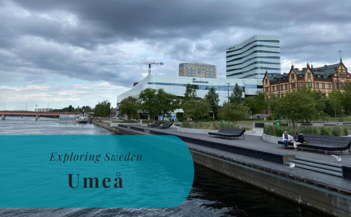
- Umeå: This is Västerbotten’s largest city and its regional capital. Umeå is a young and dynamic city. It’s known for its two universities and vibrant cultural scene. It was a European Capital of Culture in 2014. It serves as a major hub for education, technology, and healthcare in northern Sweden.
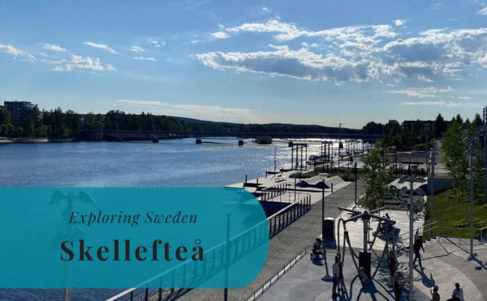
- Skellefteå: Located further north along the coast, Skellefteå is a significant industrial city. It has a long history of mining and forestry. Today, it is also a center for technology and renewable energy. The city offers access to the northern archipelago and the Bothnian Bay.
Location
Västerbotten, the historical province, is located in northern Sweden. It stretches from the coast of the Bothnian Bay westward. It borders the historical province of Ångermanland to the south. The historical province of Lappland lies to its west and northwest. To its northeast, it meets the historical province of Norrbotten. Its eastern coast faces the Bothnian Bay. Its vast size and varied terrain define its unique character.
Geography
Västerbotten’s geography is characterized by a significant transition. It moves from coastal plains to forested uplands. The eastern part features fertile coastal lowlands, historically important for agriculture. Further inland, vast forests, primarily coniferous, dominate the landscape. Numerous lakes and rivers also crisscross the province. Major rivers, such as the Ume River and the Skellefte River, flow from the interior (often originating in Lappland) to the coast. The coastline along the Bothnian Bay is relatively smooth, with some archipelagos in the north. This varied geography offers a wide range of natural environments and resources. The Scandinavian Mountains lie to its west, within the historical province of Lappland.
Entry Points to Västerbotten
Västerbotten is accessible by air, land, and sea. However, its northern location means that travel distances can be considerable.
By Air
Västerbotten has several airports. These provide both domestic and international connections. Umeå Airport (UME) is the largest airport in Västerbotten. It offers frequent domestic flights to Stockholm Arlanda Airport (ARN) and other Swedish cities. It also has some international connections, particularly to destinations within Europe. Skellefteå Airport (SFT) also offers domestic flights, primarily to Stockholm, and handles some charter flights. From these airports, taxis, rental cars, and local bus services provide onward transport within Västerbotten.
By Sea
Västerbotten has a coastline along the Bothnian Bay, featuring several ports. These handle cargo and passenger traffic. The Port of Umeå is a major hub, managing both cargo and passenger ferries. Regular ferry services connect Umeå to Vaasa, Finland, providing a direct sea link to Finland. The Port of Skellefteå primarily handles cargo. Additionally, numerous smaller harbors along the coast cater to fishing boats and recreational vessels.
By Land
Land travel is crucial for reaching and exploring Västerbotten, given its vast size and the distances involved.
- By Car: The E4 highway runs along the coast, connecting Västerbotten with southern Sweden. The E12 (Blue Highway) crosses the province, stretching from Norway (passing through Lappland) to the coast. Driving offers flexibility for exploring the region’s diverse landscapes, but distances can be long.
- By Train: SJ (Swedish Railways) operates long-distance train services to Västerbotten. The Norrland Night Train connects Umeå and other towns to Stockholm. There are also regional train services within the province.
- By Bus: Long-distance bus companies provide connections to Västerbotten from other parts of Sweden. Regional bus networks (e.g., Länstrafiken Västerbotten) offer extensive coverage within the province.
Places to Explore in Västerbotten

Explore more of Sweden and Europe