Exploring Härjedalen
Exploring Härjedalen
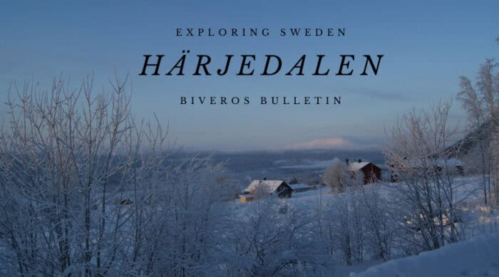
Härjedalen, Sweden’s highest historical province, is a vast, untamed wilderness often referred to as “Sweden’s bear country.” This remote and rugged region is a paradise for outdoor enthusiasts, characterized by its towering mountains, expansive fells, and ancient forests. Historically, Härjedalen’s remote location meant it was sparsely populated, with a culture deeply rooted in Sami traditions and hardy frontier life. It was once part of Norway and, for a period, Denmark, before becoming definitively Swedish in 1645 with the Treaty of Brömsebro. Its past is intertwined with hunting, reindeer herding, and the challenges of surviving in a demanding, yet beautiful, environment.
Did you know its provincial flowers are the vibrant Alpine Pasqueflower (Mosippa) and the delicate Arctic Violet (Fjällviol), blooming brightly in its fells? And its provincial animal is the iconic Brown Bear (Brunbjörn)? These symbols perfectly embody Härjedalen’s wild spirit and its untamed natural beauty. Joing Us Exploring Härjedalen!

Population
Härjedalen has a population of approximately 9,700 people. This makes it Sweden’s least populated historical province. This reflects its vast wilderness and high elevation. Its population is widely dispersed. Residents live primarily in small villages and tourist-focused communities. There are no large cities within Härjedalen. Instead, there are several key towns and popular ski resorts.
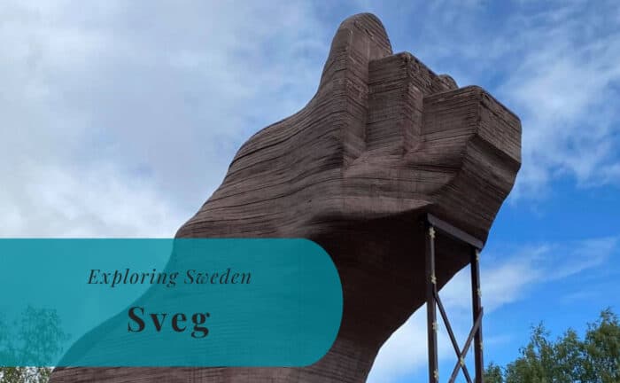
- Sveg: This is Härjedalen’s largest town. It’s also the administrative center. Sveg is often called “the bear capital of Sweden.” This is due to the significant brown bear population in its forests. It’s a central hub for services. It’s a popular stop for travelers heading into the mountains. It features a large wooden bear statue.
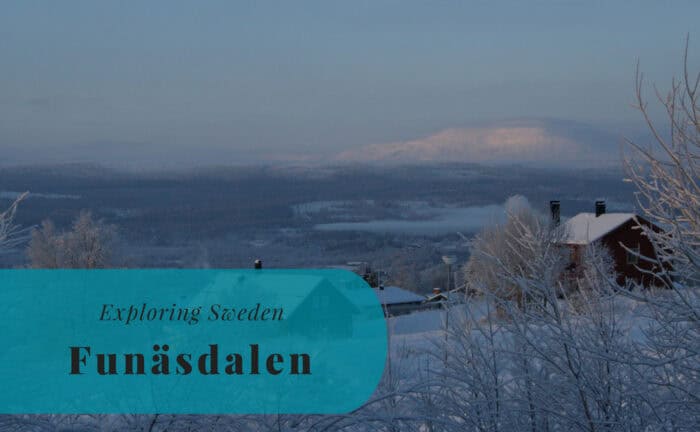
- Funäsdalen: A prominent mountain village, it’s one of Sweden’s popular ski resorts. Funäsdalen serves as a gateway to the vast Funäsfjällen area. It offers extensive skiing, hiking, and snowmobiling. It’s a vibrant tourism center, especially in winter and summer.
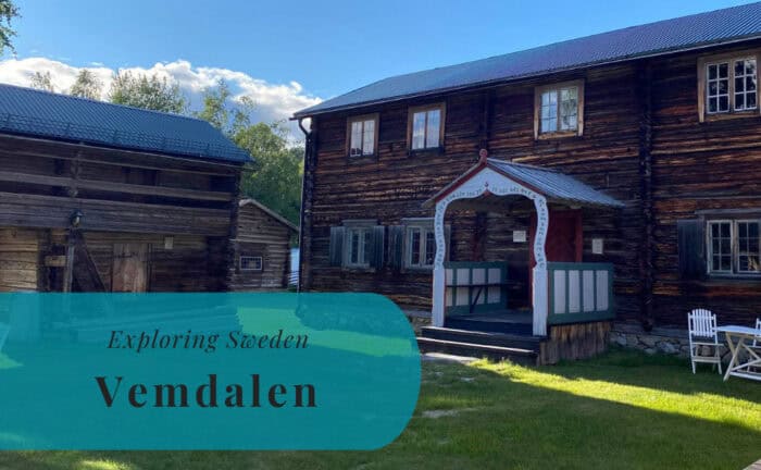
- Vemdalen: This is another popular ski resort area. Vemdalen comprises several interconnected ski villages. These include Vemdalsskalet and Björnrike. It attracts many visitors for its excellent downhill skiing. It also has great cross-country trails. In summer, it transforms into a hiking and fishing destination.
- Lofsdalen: A smaller, but growing, ski and outdoor resort village. Lofsdalen offers beautiful mountain scenery. It also provides a quieter atmosphere. It’s known for its extensive network of mountain biking trails in summer.
Location
Härjedalen is located in west-central Sweden. It forms part of the region of Norrland. It borders Jämtland to the north, Dalarna to the south. Medelpad and Hälsingland lie to the east. To the west, it shares a long border with Norway. This border is marked by the Scandinavian Mountains. This inland, high-altitude location defines its climate and rugged landscape.
Geography
Härjedalen’s geography is characterized by its mountainous terrain and expansive fells (fjäll). It is Sweden’s only province with mountain peaks reaching above 1,000 meters. These peaks span a significant area. The western part is dominated by the Scandinavian Mountains. It features numerous peaks and vast plateaus. Inland, the landscape transitions into extensive coniferous forests. These are punctuated by many lakes and winding rivers. The Ljusnan river, one of Sweden’s longest, originates here. It flows eastward. The province is also marked by ancient moraines and glacial valleys. Its high elevation leads to a subarctic climate in the mountains. This means long, snowy winters and short, cool summers. The terrain is largely untouched wilderness. It’s perfect for hiking, hunting, and fishing.
Entry Points to Härjedalen
Reaching Härjedalen often involves traveling through its neighboring provinces. This is primarily by land or air.
By Air
The most convenient airport for Härjedalen is Åre Östersund Airport (OSD). It is located in neighboring Jämtland. It’s about 100-150 km north of Härjedalen’s northern parts. OSD offers regular domestic flights. These come from Stockholm Arlanda Airport (ARN) and Stockholm Bromma Airport (BMA). It also has international charter flights during peak winter seasons. For southern Härjedalen, Sveg Airport (EVG) offers very limited domestic flights to Stockholm. From these airports, onward travel is typically by car or bus.
By Sea
As an entirely inland province, Härjedalen has no direct sea access. Travelers arriving by ferry to Sweden would then need to continue their journey by land. This includes options like car, train, or bus. Sea travel is not a direct entry method for this province.
By Land
Land travel is the most common and practical way to reach and explore Härjedalen.
- By Car: Major national roads provide access. The E45 highway (Inlandsvägen) runs north-south through the eastern part. It passes through Sveg. It connects to Dalarna in the south and Jämtland in the north. Road 84 is a key route. It connects Sveg to Funäsdalen and further into Norway. Driving is highly recommended. You can explore the vast distances and diverse attractions.
- By Train: SJ (Swedish Railways) operates train services to parts of Härjedalen. The Inlandsbanan (Inland Railway), a popular scenic tourist route, passes through Sveg in summer. For year-round travel, train connections to Östersund (in Jämtland) are frequent. From Östersund, onward travel to resorts is by bus or car.
- By Bus: Various long-distance bus companies offer services. They connect major towns like Sveg and resorts to Stockholm. They also connect to Uppsala and other Swedish cities. Regional bus networks operate within the province. They connect smaller villages, though services can be less frequent.
Joing Us Exploring Härjedalen!

Explore more of Sweden and Europe