Etosha National Park | Exploring Namibia
Etosha National Park is a large national park located in the northern part of Namibia. It is one of the most significant game reserves in Africa. The park spans an area of 22,270 square kilometers and is dominated by a vast salt pan that is large enough to be visible from space. The park’s main entrance, Anderson’s Gate, is located approximately 400 kilometers north of the capital city, Windhoek. Etosha is the flagship national park of Namibia and is managed by the Ministry of Environment, Forestry, and Tourism.
The character of Etosha is defined by its unique landscape and its concentration of wildlife, particularly during the dry season. The park is known for its numerous waterholes, which attract large numbers of animals, making wildlife viewing highly accessible. The stark, white, and shimmering landscape of the Etosha Pan creates a unique backdrop for safari activities. The park contains a network of gravel roads and several fenced rest camps where visitors can stay overnight.
As one of Southern Africa’s most important wildlife sanctuaries, Etosha plays a crucial role in conservation, particularly for endangered species like the black rhinoceros. The park’s name comes from the Oshindonga word meaning “Great White Place,” which refers to the immense salt pan that forms its heart. This combination of a unique geological feature and abundant wildlife makes it one of the most popular tourist destinations in Namibia.


Good to Know When Visiting the Etosha National Park
To help with planning a visit, here are several practical points covering park logistics, timing, and how to approach a safari. Understanding these details can make a trip to Etosha National Park safer and more rewarding. This information is intended to provide a general overview for travelers preparing to visit this major African game reserve.
Park Logistics and Rules
The official currency used for park entry fees and at the state-run rest camps is the Namibian Dollar (NAD), which is pegged 1:1 to the South African Rand (ZAR). Credit cards are accepted at the main camps, but it is advisable to have cash for smaller purchases. Park entry fees are paid per person and per vehicle, per day. A key rule in Etosha is that visitors must remain inside their vehicles at all times, except in designated, fenced-off picnic areas or within the main rest camps. Driving is only permitted between sunrise and sunset; the park gates and camp gates close strictly at sunset. Driving off the marked gravel roads is prohibited, and speed limits are enforced to protect the wildlife. It is essential to book accommodation, whether camping or chalets, many months or even a year in advance, especially for the peak season.
Best Time to Visit and What to Pack
Etosha is a year-round destination, but the experience varies significantly between the dry and wet seasons. The dry season, from May to October, is generally considered the best time for wildlife viewing. During this period, water is scarce, and large numbers of animals congregate around the park’s waterholes, making them easy to find and observe. The weather is cooler and there is very little rain. The wet season, from November to April, transforms the landscape into a green, though sometimes flooded, environment. This is the best time for birdwatching, as migratory birds arrive and the pan can fill with water, attracting flamingos. It is also when many animals give birth. Essential items to pack include binoculars, a camera with a good zoom lens, sun protection such as hats and sunscreen, and neutral-colored clothing.
A Tourist’s Toolkit for Safari
Etosha is a very accessible park for self-drive safaris, which is the most common way to visit. The gravel roads are generally in good condition and can be navigated with a standard 2WD vehicle, although a vehicle with higher clearance is recommended. The alternative is to take a guided safari, either with a local operator or on the game drive vehicles offered by the main rest camps. A detailed map of the park showing the road network and all the waterholes is an essential tool. Accommodation inside the park is managed by Namibia Wildlife Resorts (NWR) and includes several fenced rest camps like Okaukuejo, Halali, and Namutoni. There are also numerous private lodges located on the borders of the park that offer a more luxurious experience.
A Short History of Etosha National Park
The history of Etosha National Park is one of a vast, ancient landscape that was transformed into one of the world’s largest game reserves before being reduced in size for political reasons. Its story reflects the changing attitudes towards wildlife conservation in Southern Africa. The area has been used by indigenous peoples for centuries. Its formal establishment as a protected area came during the German colonial period. Its modern history has been shaped by the needs of both conservation and the local communities.
Indigenous History and Discovery
The Etosha Pan is a vast salt pan that was formed millions of years ago. The area has been used by San hunter-gatherers for centuries. The name “Etosha” comes from the Oshindonga language and means “Great White Place,” a description of the shimmering white surface of the pan. The first Europeans to see the pan were the explorers Charles John Andersson and Francis Galton in 1851. They traveled to the area with the help of local Ovambo traders.
At that time, the area was teeming with vast herds of wildlife, including elephants, zebras, and various antelope species. The region was a prime hunting ground. In the late 19th century, a series of droughts and an outbreak of rinderpest had a devastating impact on both the wildlife and the local human populations. This period of hardship was followed by the establishment of German colonial rule over the territory.
German Colonial Proclamation
The formal history of the park began during the period of German South West Africa. On March 22, 1907, the Governor, Dr. Friedrich von Lindequist, proclaimed a vast area of over 99,000 square kilometers as “Game Reserve No. 2.” This huge reserve, which included the Etosha Pan, was at the time the largest game reserve in the world. The proclamation was part of a wider German colonial policy to control hunting and preserve game animals for future use.
The original reserve stretched all the way from the Hoanib River to the Kunene River on the Angolan border, and west to the Atlantic Ocean. This included the area that is now known as the Skeleton Coast Park. The establishment of this reserve was a key moment in the history of conservation in Namibia. It laid the foundation for the national park that exists today, even though its borders would later be significantly altered.
Reductions and Modern Conservation
After World War I, South Africa took over the administration of the territory under a League of Nations mandate. In 1958, the reserve was officially proclaimed as Etosha National Park, but its size was reduced. The most significant reduction came in the 1960s as a result of the recommendations of the Odendaal Commission. This commission’s plan led to the creation of separate “homelands” for different ethnic groups.
As part of this plan, the area of Etosha National Park was drastically reduced to its current size of 22,270 square kilometers to make land available for the newly created homelands. This decision remains a controversial part of the park’s history. Since Namibian independence in 1990, the park has been managed by the Ministry of Environment, Forestry and Tourism. It is now the flagship of Namibia’s conservation efforts, with a focus on both wildlife protection and sustainable tourism.
The Landscape and its Features
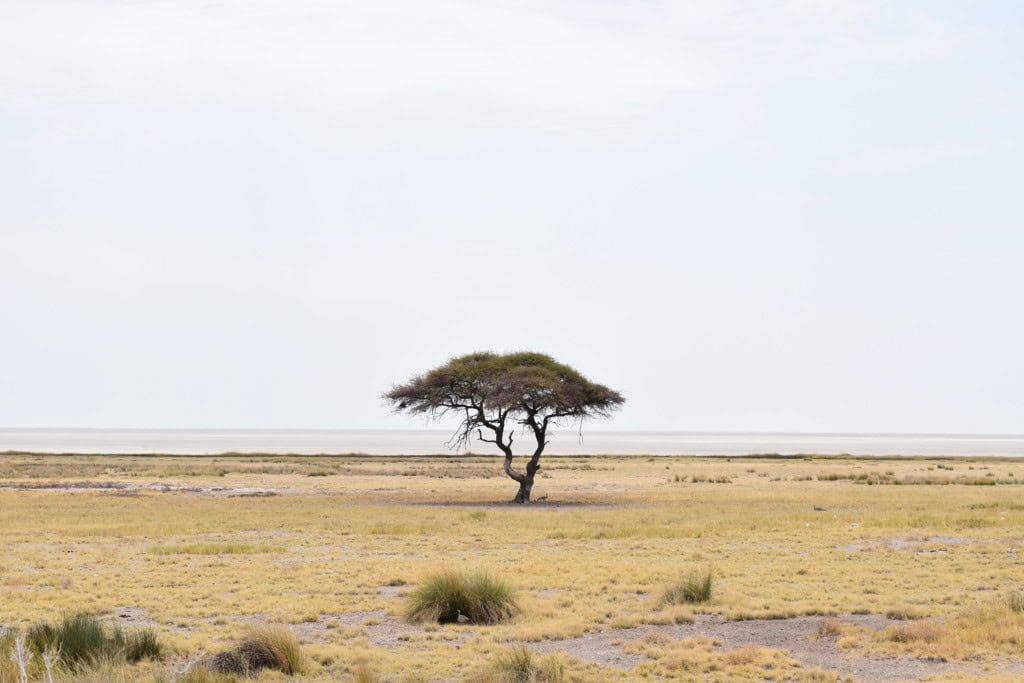
The landscape of Etosha is unique among Africa’s major game reserves. The park is not defined by a major river system or dense forests. Instead, its ecosystem is centered around the vast Etosha Pan and the numerous waterholes that dot the surrounding savanna. This creates a specific environment for wildlife viewing, particularly in the dry season.
The park is divided into several sections, with the main tourist area located to the south of the pan. A network of gravel roads connects the main rest camps and provides access to the waterholes. The western part of the park was previously restricted but is now more accessible, offering a different landscape and a more remote experience.
The Etosha Pan
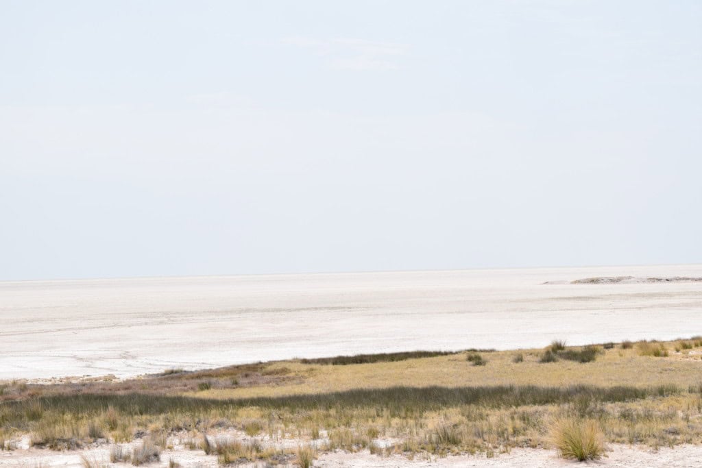
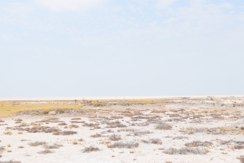
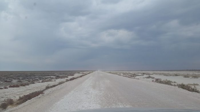
The Etosha Pan is the park’s most defining feature. It is a vast, saline depression that covers approximately 4,800 square kilometers, about a quarter of the entire park. The pan is the remnant of a large, ancient lake that dried up thousands of years ago. For most of the year, it is a dry, white, salt-crusted plain. The heat often creates shimmering mirages on its surface. During the rainy season, parts of the pan may fill with a thin layer of water. This attracts thousands of migratory water birds, including flamingos and pelicans, which come here to breed.
The Waterholes
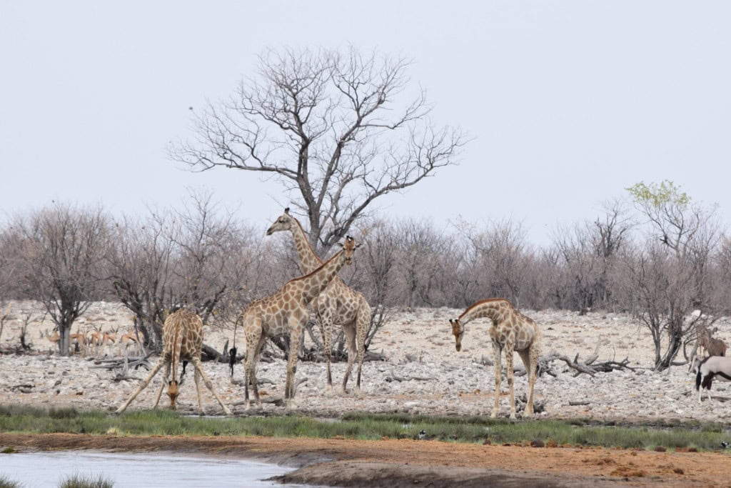
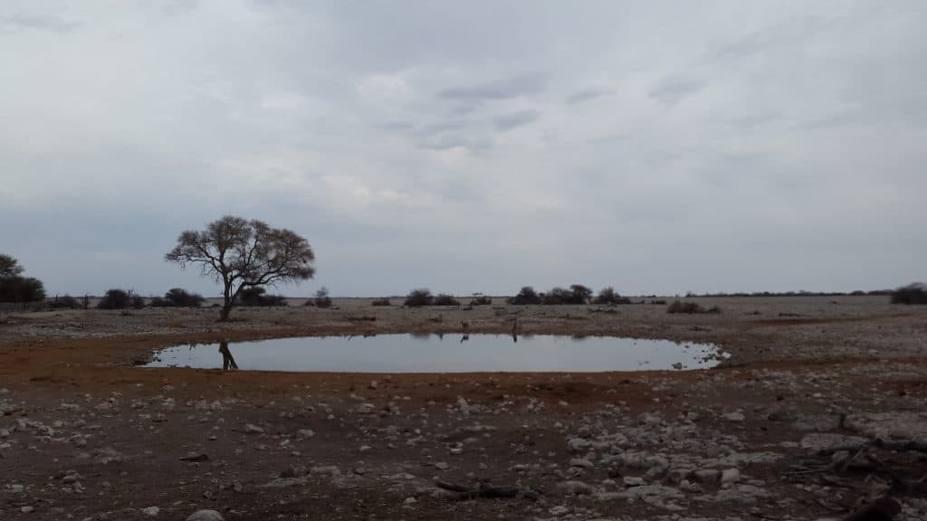
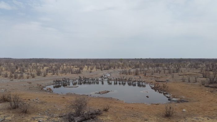
The waterholes are the lifeblood of Etosha National Park, especially during the dry season from May to October. There are over 40 major waterholes accessible to visitors in the main part of the park. These are a mix of natural springs and man-made boreholes. As other water sources dry up, animals are forced to congregate at these waterholes to drink. This makes for predictable and accessible wildlife viewing. Many of the most famous waterholes are floodlit at night at the main rest camps, allowing visitors to watch nocturnal animals.
The Rest Camps
Accommodation inside the park is provided by Namibia Wildlife Resorts (NWR). There are several fenced rest camps that offer a safe place to stay overnight. The three main camps are Okaukuejo, Halali, and Namutoni. Okaukuejo is famous for its floodlit waterhole, which is considered one of the best places to see the endangered black rhino. Halali is located in the center of the park. Namutoni is located in the east and is built around an old German fort. Other camps include the more remote Olifantsrus in the west and the luxurious Dolomite Camp in the far west. These camps have facilities like swimming pools, restaurants, and shops.


Safari: The Wildlife of Etosha
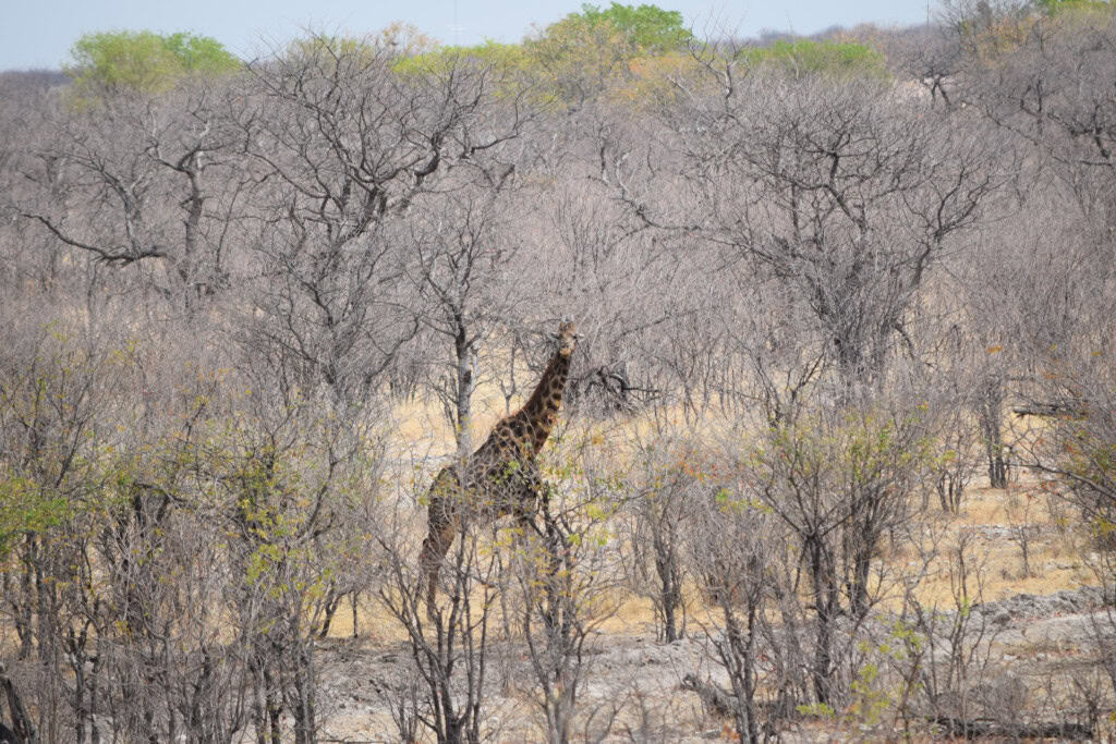
A safari in Etosha National Park offers an opportunity to see a wide variety of Southern African wildlife. The park is home to 114 mammal species and over 340 bird species. The open landscape and the concentration of animals at waterholes make it one of the most rewarding wildlife viewing destinations in Africa. The park’s unique environment also means that some animals have specific adaptations to the local conditions. This makes for a distinct safari experience compared to other major African parks.
The safari experience in Etosha is largely centered on driving the network of gravel roads and waiting at the various waterholes. Each waterhole attracts different species at different times of the day. The dry season provides the most concentrated viewing opportunities, as animals must come to the permanent water sources to drink. However, the wet season offers the chance to see newborn animals and a greater diversity of birdlife, when the pan itself can turn into a temporary lake. The park’s well-maintained infrastructure makes it very suitable for self-drive safaris.
Elephants
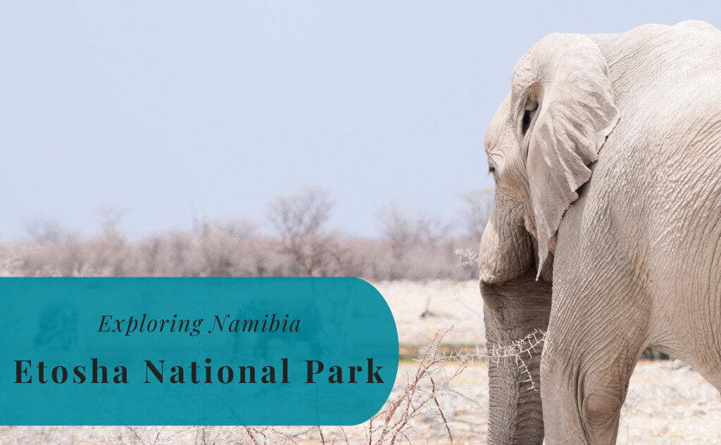
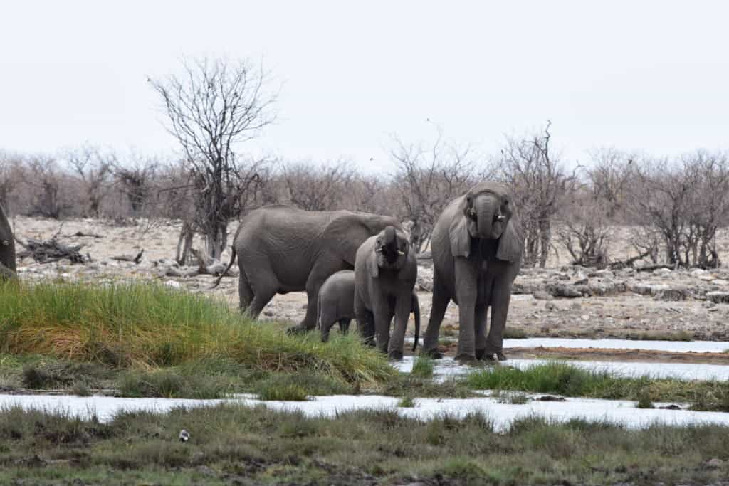
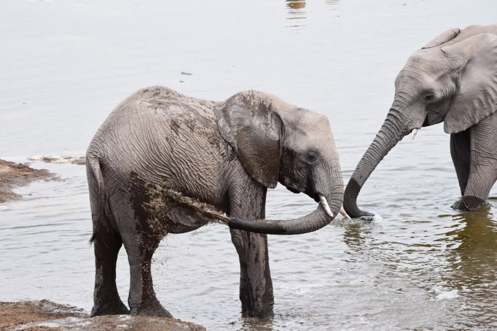
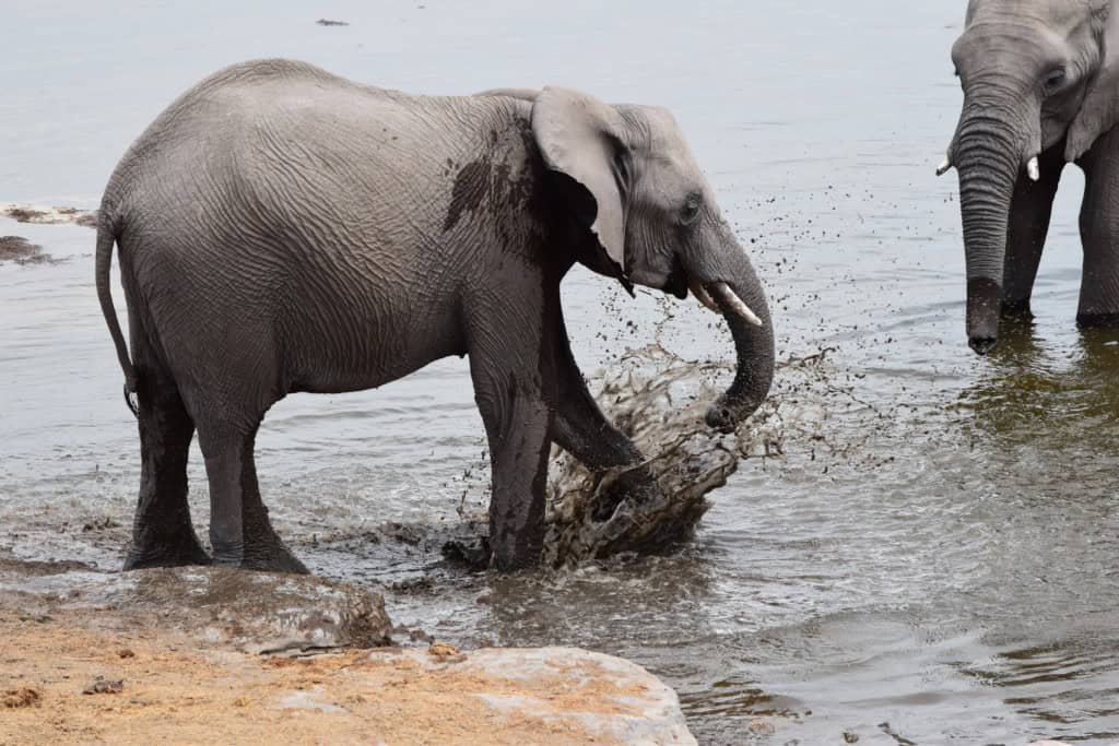
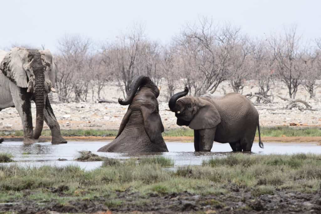
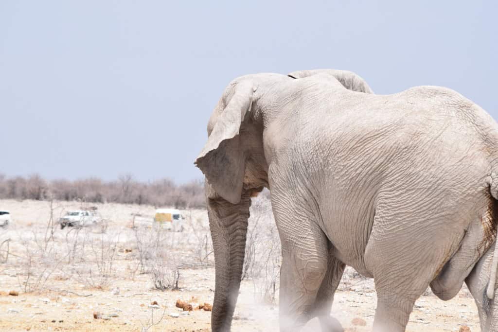
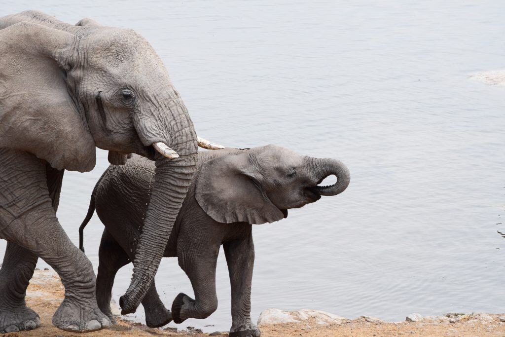
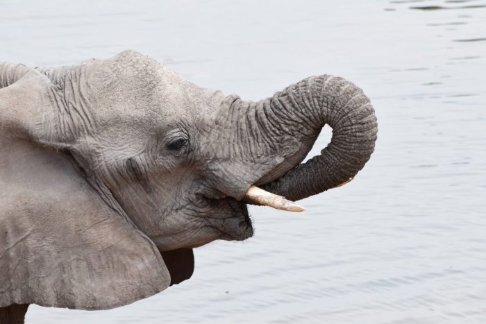
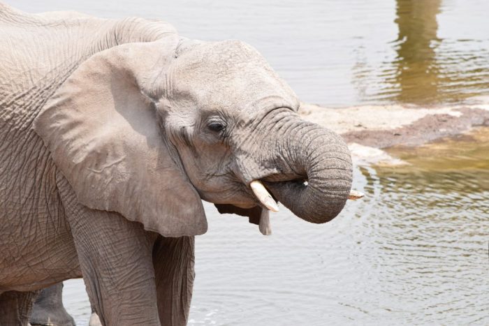
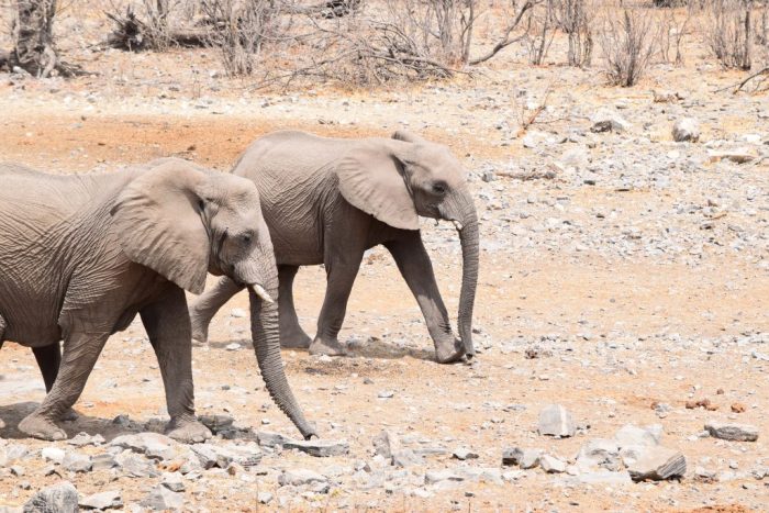
Etosha is famous for its large population of African bush elephants. The elephants of Etosha are known for their appearance, as they often appear white after covering themselves in the white, mineral-rich clay from the pan. This clay protects their skin from the sun and insects. Large breeding herds, consisting of related females and their young, can be seen at the waterholes, especially during the dry season. Their presence at a waterhole often dominates the scene, with other animals giving way. The park’s elephants are considered to be some of the tallest in Africa.
These elephants are well-adapted to the semi-arid environment. They are known to travel long distances between waterholes and feeding areas. Their diet consists of grasses, bark, leaves, and fruits, and they have a significant impact on the park’s vegetation, often pushing over trees to access foliage. The social structure of the herds is complex, led by an older matriarch. Bull elephants often form smaller bachelor groups or travel alone. Observing their interactions at a waterhole provides a direct look into their complex social behavior.
Black Rhinoceros
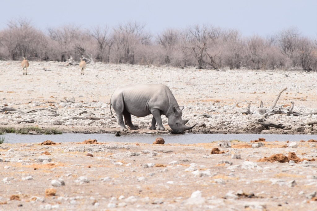
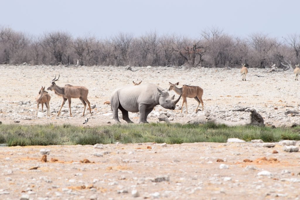
Etosha National Park is a major stronghold for the critically endangered black rhinoceros. The park’s large, fenced area and its dedicated anti-poaching efforts have made it a successful sanctuary for the species. The black rhino is a solitary and often shy animal, which can make it difficult to see during the day. The best chance to see them is often at the floodlit waterholes at the Okaukuejo and Halali rest camps, where they frequently come to drink after dark. Seeing a black rhino in the wild is a rare and significant experience.
The conservation of the black rhino is a key priority for the park’s management. Unlike the more common white rhino (which is not found in Etosha), the black rhino is a browser, with a distinctive prehensile, hooked lip used for pulling leaves and branches from bushes. The park’s rhino population is one of the few free-ranging populations in the world that is still growing. This makes Etosha a critical site for the long-term survival of the species. The protection efforts include regular monitoring and patrols by park staff.
Predators
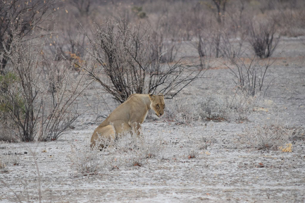
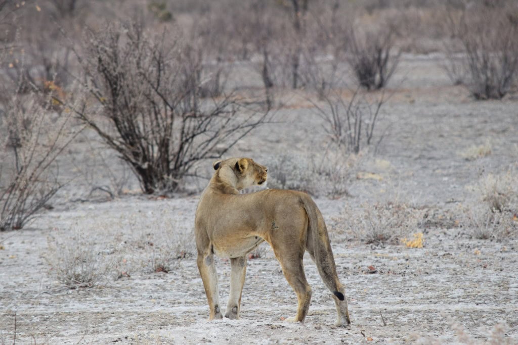
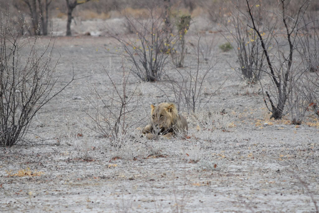
The park has a healthy population of predators. Lions are frequently seen, often resting in the shade during the day or near waterholes in the early morning and late afternoon. Leopards are more elusive and nocturnal, but they are present in the park, particularly in the denser bush areas and the western dolomite hills. Cheetahs can also be seen, often in the more open grasslands where they can use their speed to hunt.
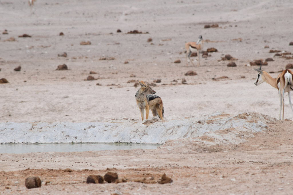
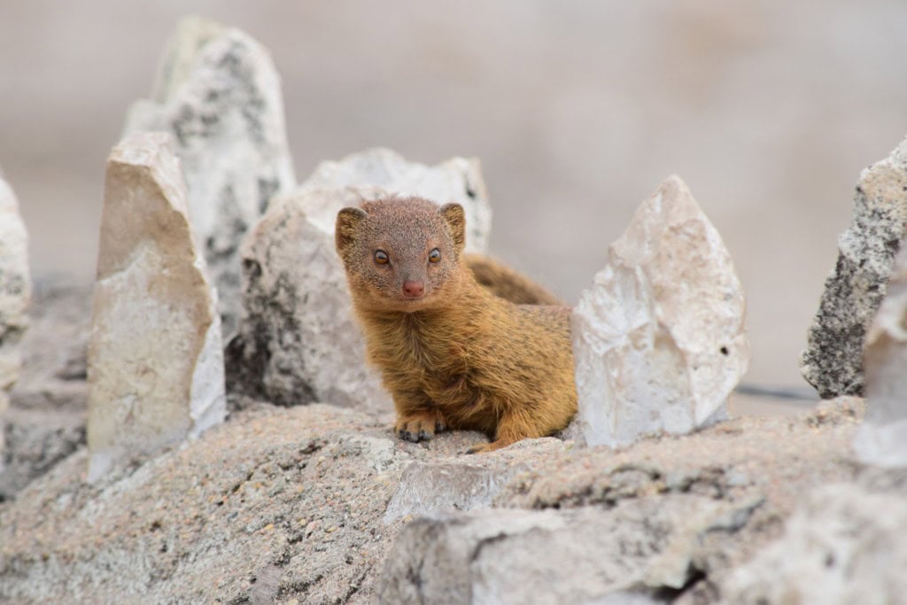
Other predators also play a key role in the ecosystem. The spotted hyena is a common sight, both as a scavenger and as a powerful predator in its own right, often seen at waterholes after dark. The smaller black-backed jackal is also very common and can often be seen trotting around the edges of waterholes. The park’s open terrain provides good opportunities for observing the interactions between these predators and their prey, which is a key part of the safari experience in Etosha.
Plains Game
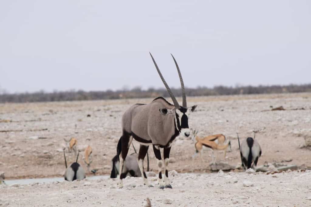
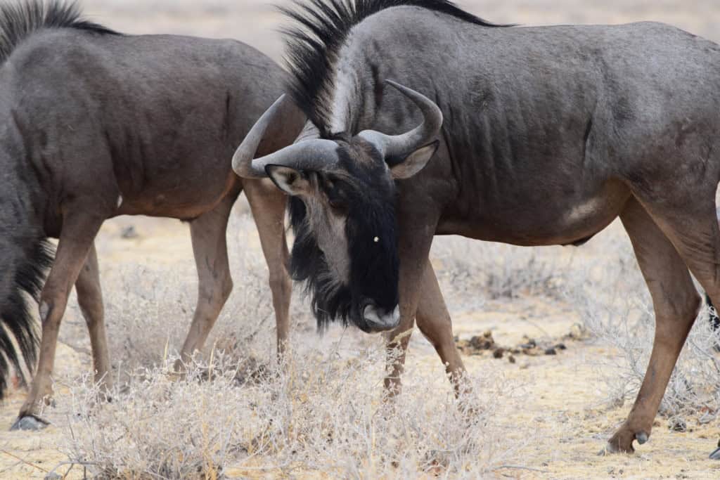
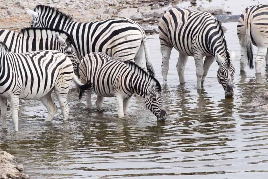
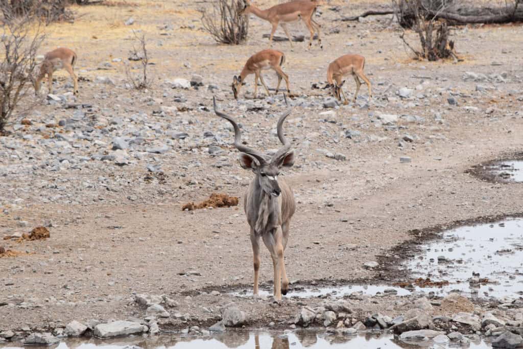
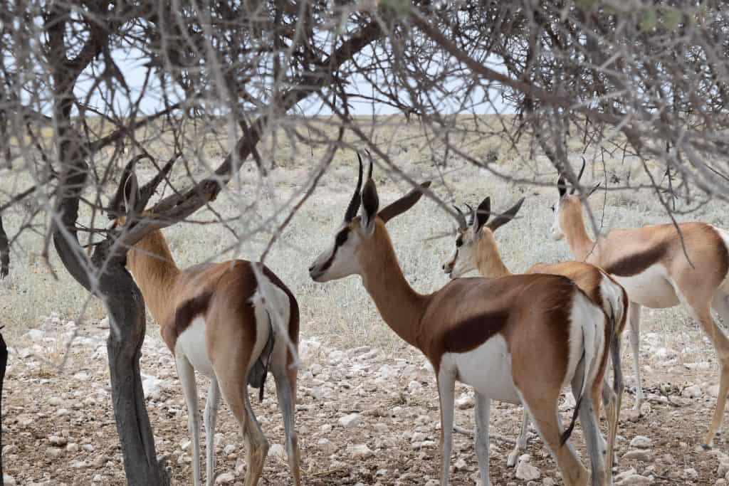
Etosha is home to vast herds of plains game. The most common species are the springbok, plains zebra, and blue wildebeest. The gemsbok (oryx), with its long, straight horns, is Namibia’s national animal and is very common in the park. Other antelope species include the kudu, with its large, spiral horns, the eland, which is the largest antelope, and the small Damara dik-dik, which is often seen in pairs.
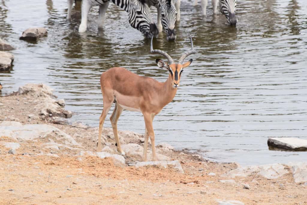
Large herds of these animals can be seen moving across the vast plains or gathering in large numbers at the waterholes. The gemsbok is particularly well-adapted to the arid conditions and can survive for long periods without drinking water. Etosha is also home to the black-faced impala, a subspecies that is specific to this region. The sheer number and variety of these plains animals are a defining feature of the Etosha ecosystem.
Birdlife
Etosha is a prime destination for birdwatching, with over 340 species recorded. The park is home to the world’s largest bird, the ostrich, which is a common sight on the plains. During the wet season, the pan can fill with a thin layer of water. This attracts vast flocks of lesser and greater flamingos, as well as white pelicans, which come here to breed. This seasonal event is a major highlight for birders.
Numerous species of raptors are also present, including the bateleur eagle and several species of vultures. The park is home to the Kori bustard, which is Africa’s heaviest flying bird. The waterholes attract a wide variety of smaller birds. This includes colorful species like the lilac-breasted roller and the crimson-breasted shrike. The presence of both resident and migratory birds makes Etosha a rewarding destination for birdwatching throughout the year.



Getting Around in Etosha National Park
Navigating Etosha National Park is primarily done by vehicle. The park is designed for self-drive safaris, but guided game drives are also available. The internal road network is extensive but consists entirely of gravel roads. Understanding the park’s rules and the layout of the roads and waterholes is key to a successful visit. The large distances between camps and gates also require careful planning.
A standard 2WD vehicle is generally sufficient for driving on the main gravel roads within the park, especially during the dry season. However, a vehicle with higher clearance, such as an SUV, can provide a better viewing experience and more comfort on the corrugated roads. The park has strict speed limits, typically 60 km/h, to protect the wildlife. It is essential to carry a good map of the park, which can be purchased at the entrance gates or rest camps.
Self-Driving
The most common way to explore Etosha is by self-driving. This offers the most flexibility, allowing visitors to spend as much time as they wish at different waterholes. The park’s main roads connect the entrance gates with the three main rest camps: Okaukuejo, Halali, and Namutoni. There are numerous signposted loops and side roads that lead to the various waterholes. Visitors must not leave their vehicles except in the designated fenced picnic areas or inside the main rest camps.
Guided Game Drives
For those who prefer not to drive, guided game drives are an option. These are offered by the main NWR rest camps inside the park. The drives are conducted in large, open-sided safari vehicles and are led by experienced local guides. The guides have knowledge of the park and the animal behavior, which can increase the chances of good wildlife sightings. The camps offer drives in the morning, afternoon, and at night. Night drives provide an opportunity to see nocturnal animals that are not visible during the day. Many private lodges outside the park also offer guided drives into Etosha.


How to Get to Etosha National Park
Reaching Etosha National Park requires travel to the northern part of Namibia. The park is accessible by road from the capital, Windhoek, and other major towns in the country. A private vehicle is the most common and practical way to get to and explore the park. There are no direct public transport services to the park’s entrance gates.
The Open Road: Driving to the Gates
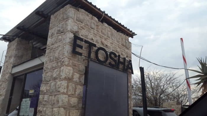
Driving is the most flexible option for reaching Etosha. The park has several entrance gates. The main southern gate, Anderson’s Gate, is located about 400 kilometers north of Windhoek. The drive involves taking the main B1 highway north to the town of Outjo, and then a paved road to the gate. The eastern gate, the Von Lindequist Gate, is located near the town of Tsumeb. The drive from Windhoek to either of these main gates takes approximately 4-5 hours.
Arriving by Air
The primary international gateway to Namibia is Hosea Kutako International Airport (WDH), located near the capital, Windhoek. From the airport, travelers would rent a car to make the journey north to the park. Etosha National Park also has its own airstrips at the main rest camps. These are used by private charter flight companies. Flying directly into the park on a small aircraft is a faster but more expensive option, often used by those on high-end safari packages.
Connecting by Coach
There are no direct public bus or shuttle services to the entrance gates of Etosha National Park. Long-distance bus services in Namibia, such as Intercape, connect the major towns. It is possible to take a bus to a nearby town like Tsumeb or Outjo. From these towns, however, visitors would still need to arrange for a pre-booked private transfer or join a guided safari tour to enter the park. This makes the bus a less practical option for independent travelers.
On Track: The Absence of Rail
There is no train service that runs directly to Etosha National Park. The national rail operator, TransNamib, runs passenger services to some northern towns, such as Tsumeb. However, the train service is generally very slow and infrequent compared to road travel. From the train station in Tsumeb, a private transfer or a tour would be required to get to the park’s eastern gate.
Driving Distances
The driving distance from 20 regional cities, according to Google Maps:
- Otjiwarongo, Namibia – 184 kilometers (2 h 00 min)
- Tsumeb, Namibia – 368 kilometers (3 h 50 min)
- Windhoek, Namibia – 432 kilometers (4 h 20 min)
- Swakopmund, Namibia – 518 kilometers (5 h 40 min)
- Walvis Bay, Namibia – 552 kilometers (6 h 00 min)
- Keetmanshoop, Namibia – 930 kilometers (8 h 50 min)
- Lüderitz, Namibia – 1,115 kilometers (11 h 40 min)
- Maun, Botswana – 1,207 kilometers (12 h 40 min)
- Livingstone, Zambia – 1,364 kilometers (16 h 30 min)
- Gaborone, Botswana – 1,487 kilometers (16 h 00 min)
- Pretoria, South Africa – 1,766 kilometers (19 h 00 min)
- Johannesburg, South Africa – 1,768 kilometers (19 h 40 min)
- Francistown, Botswana – 1,774 kilometers (18 h 30 min)
- Bulawayo, Zimbabwe – 1,822 kilometers (20 h 40 min)
- Luanda, Angola – 1,832 kilometers (23 h 20 min)
- Lusaka, Zambia – 1,842 kilometers (23 h 50 min)
- Cape Town, South Africa – 1,911 kilometers (18 h 20 min)
- Bloemfontein, South Africa – 1,955 kilometers (19 h 00 min)
- Harare, Zimbabwe – 2,070 kilometers (1 d 1 h 20 min)
- Durban, South Africa – 2,585 kilometers (1 d 2 h 30 min)
Looking to Explore more of Namibia and Africa?