Cape of Good Hope | Exploring South Africa
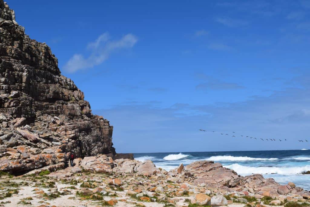
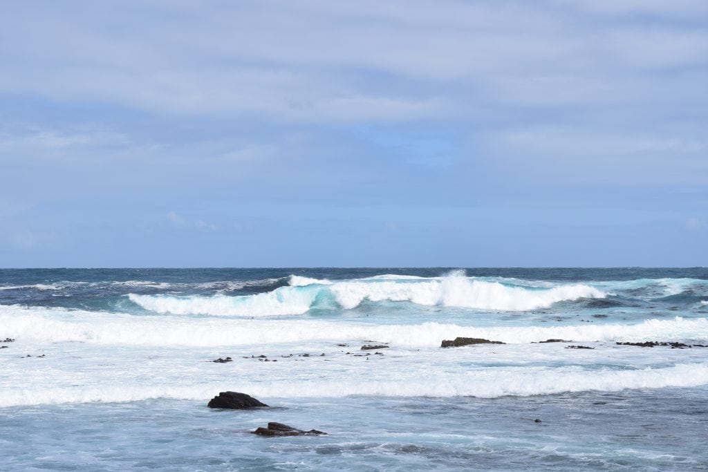
The Cape of Good Hope is a famous rocky headland, and it is located on the Atlantic coast of the Cape Peninsula. This historic site is in the Western Cape province of South Africa. It is a key landmark within the Table Mountain National Park, and this park is also a UNESCO World Heritage Site. The Cape of Good Hope is not a town, but it is a protected nature reserve. The area is renowned for its wild and dramatic scenery, and it also has a unique and significant place in the history of maritime exploration.
The identity of the Cape of Good Hope is that of a legendary milestone in the Age of Discovery. It is the southwesternmost point of the African continent. For centuries, rounding this cape was a major achievement for sailors, but the journey was often very dangerous. The cape became associated with the famous legend of the Flying Dutchman. This is the story of a ghost ship doomed to sail these waters forever, and it was never able to round the cape and return home. This tale captured the fears of sailors, and it cemented the cape’s mythical reputation.
This legendary promontory was a fearsome but essential landmark. Today, it is a major international tourist destination. It offers visitors a chance to stand at the edge of the continent, and they can also experience its powerful history and untamed nature. A visit to the Cape of Good Hope is a journey into a landscape shaped by both dramatic legends and historical significance. The area remains a potent symbol of exploration, and it is one of South Africa’s most iconic natural sights.

History of Cape of Good Hope
The history of the Cape of Good Hope is a story of exploration, maritime trade, and the quest for a new sea route to the East. For centuries, European powers sought a way to bypass the land routes to Asia, which were controlled by their rivals. The discovery of a route around Africa was a major turning point in world history, and the Cape of Good Hope was the most famous and symbolic landmark on this new route.
The Age of Discovery
The first European to see the cape was the Portuguese explorer Bartolomeu Dias in 1488. He was on an expedition to find a sea route to India. He named the cape the “Cape of Storms” (Cabo das Tormentas) because of the perilous weather and strong currents that he encountered there. The discovery of the cape proved that there was a sea route around Africa. According to popular legend, it was King John II of Portugal who later renamed it the “Cape of Good Hope” (Cabo da Boa Esperança) because of the great optimism that this discovery brought.
The Spice Route
A few years later, in 1497, another Portuguese explorer, Vasco da Gama, successfully rounded the Cape of Good Hope and continued on to reach India, establishing the first direct sea route from Europe to Asia. This new route, known as the “spice route,” was a major breakthrough in global trade. It allowed European powers to bypass the old land routes and to trade directly for valuable spices. For the next few centuries, the Cape of Good Hope was a crucial navigational landmark for the thousands of ships that sailed this route.
A Natural and Cultural Landmark
In the modern era, the Cape of Good Hope has been preserved as a part of the Table Mountain National Park. It has become one of South Africa’s most famous and most visited tourist attractions. The area is a protected nature reserve, and it is known for its unique fynbos vegetation and its diverse wildlife. A famous signpost at the cape marks its geographical coordinates and its status as the southwesternmost point of the African continent. The cape remains a powerful symbol of exploration, history, and the natural beauty of the South African coastline.
Sights in Cape of Good Hope
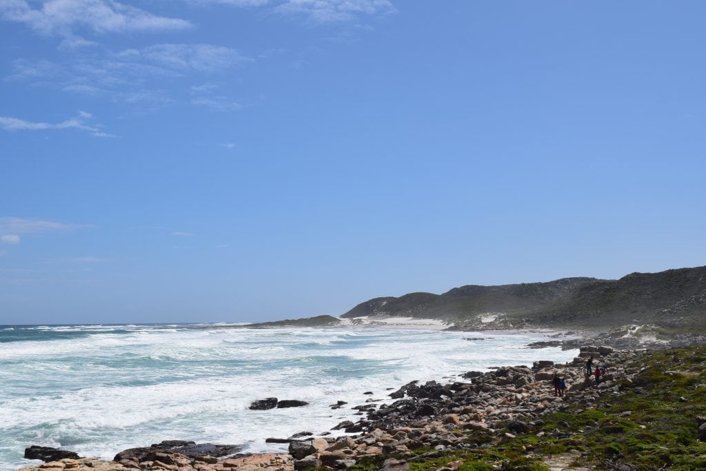
The sights at the Cape of Good Hope are centered on its wild and dramatic coastal scenery and its historical significance. The main attraction is the famous headland itself, with its iconic signpost that is a must for any visitor. The beautiful and often deserted Dias Beach offers a stunning example of the area’s untamed nature. The entire area is a paradise for hikers, with numerous scenic trails, including the popular hike to the old lighthouse at the nearby Cape Point. Spotting the local wildlife is another major highlight of any visit.
The Cape of Good Hope Signpost
The most famous and most photographed landmark is the signpost that marks the location of the Cape of Good Hope. The sign declares that this is the “Most South-Western Point of the African Continent” and gives its exact geographical coordinates. A photo with this iconic sign is the classic souvenir for any visitor to the site. The sign is located at the end of the road, right next to the rocky shoreline.
Dias Beach
Dias Beach is a beautiful and secluded sandy beach located in a cove just below the main path at the Cape of Good Hope. The beach is named after the explorer Bartolomeu Dias. It is a stunningly beautiful beach, with fine white sand and dramatic rock formations. However, the water here is part of the cold Atlantic Ocean, and the currents can be very strong and dangerous. Swimming at Dias Beach is not recommended, but it is a wonderful place for a walk and for admiring the wild, unspoiled scenery.
The Hiking Trails
The Cape of Good Hope is the starting point for several beautiful and scenic hiking trails. The most popular of these is the trail that leads from the Cape of Good Hope, along the spectacular coastline, and up to the main complex at Cape Point. This hike takes about one and a half hours and offers breathtaking views of the cliffs and the sea. There are also longer, multi-day hiking trails that run through the entire nature reserve.
The Wildlife
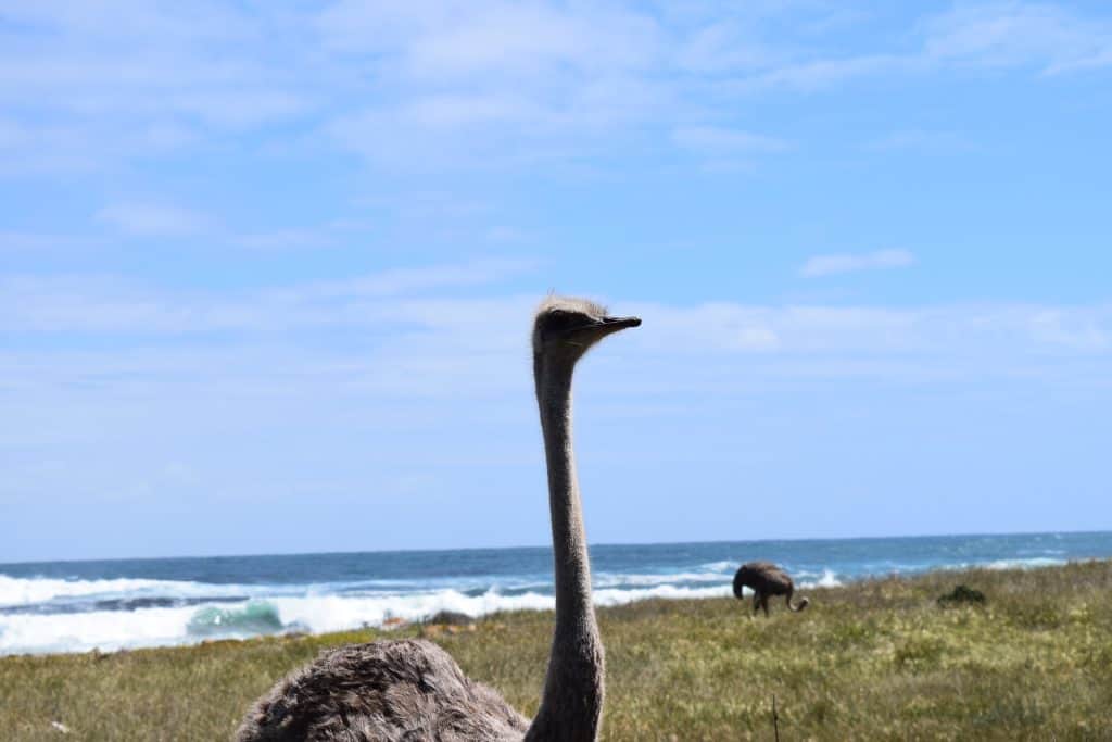
The Table Mountain National Park at the Cape of Good Hope is home to a diverse range of wildlife. A major highlight for visitors is the opportunity to see these animals in their natural habitat. It is very common to see ostriches walking on the beaches and in the fynbos vegetation. Chacma baboons are also a common sight, but it is important to be cautious and not to feed them. The area is also home to a variety of antelope species, such as the eland, and a rich birdlife.

How to Get to Cape of Good Hope?
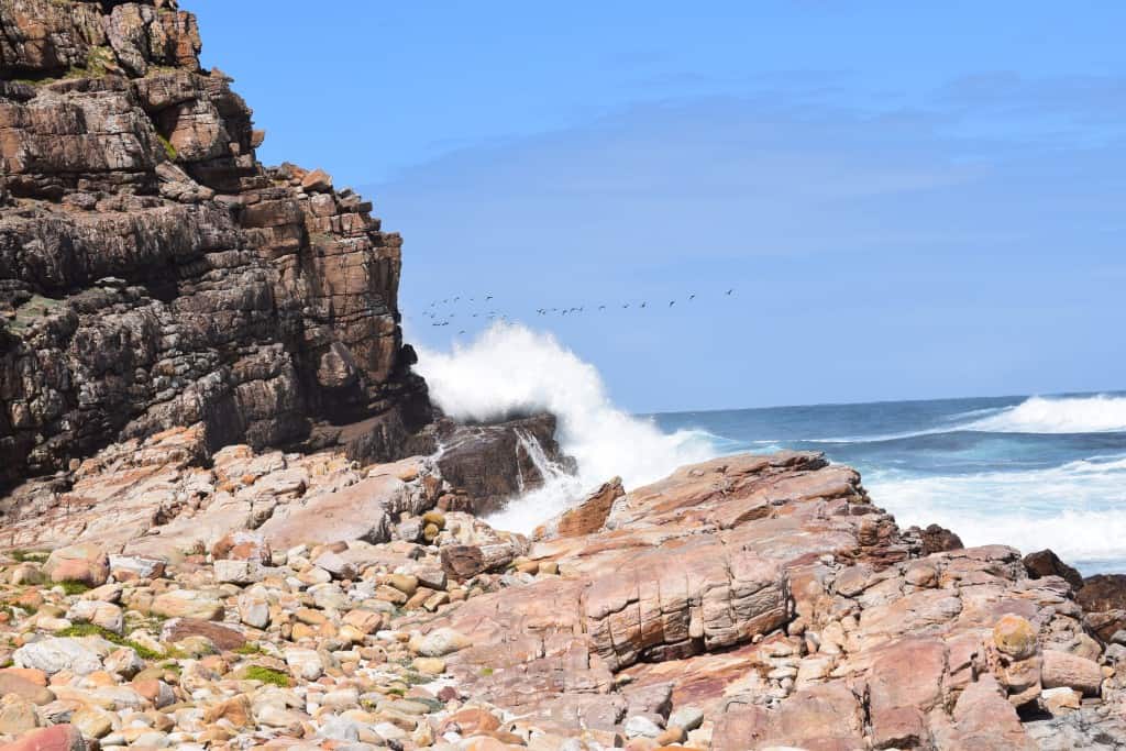
The Cape of Good Hope is located at the southern end of the Cape Peninsula, approximately 60 kilometers south of the city of Cape Town. The most common and scenic way to get there is by driving. There is no direct public transport to the entrance of the park. The main gateway for international visitors is Cape Town International Airport (CPT). From the airport and the central city, a road trip to the Cape of Good Hope is one of the most popular and famous day excursions.
Arriving by Air
The main airport for the region is Cape Town International Airport (CPT). It is the second-busiest airport in South Africa. From the airport, the easiest way to reach the Cape of Good Hope is to rent a car. The drive from the airport to the entrance of the nature reserve takes about one to one and a half hours, depending on traffic.
Driving to the Site
Driving to the Cape of Good Hope is a spectacular experience in itself. The most famous route is to take a full-day trip around the Cape Peninsula. This scenic drive takes you from Cape Town, along the beautiful Atlantic Seaboard, over the famous Chapman’s Peak Drive, and then down to the Cape of Good Hope. The return journey can be made along the False Bay coast, passing through the historic town of Simon’s Town. This circular route is one of the most beautiful coastal drives in the world.
Connecting by Train and Taxi
For those without a car, it is possible to reach the area by a combination of public transport and a taxi. The Southern Line of the Metrorail train runs from the central station in Cape Town to the town of Simon’s Town. From Simon’s Town, you would then need to hire a local taxi or a tour operator for the final 20-kilometer journey to the entrance of the nature reserve. This is a more complicated but possible option.
Driving Distances
The driving distance from 20 regional cities, according to Google Maps:
- Simon’s Town, South Africa – 20 kilometers (0 h 25 min)
- Fish Hoek, South Africa – 25 kilometers (0 h 30 min)
- Muizenberg, South Africa – 35 kilometers (0 h 40 min)
- Cape Town, South Africa – 60 kilometers (1 h 10 min)
- Stellenbosch, South Africa – 85 kilometers (1 h 30 min)
- Paarl, South Africa – 115 kilometers (1 h 40 min)
- Hermanus, South Africa – 145 kilometers (2 h 10 min)
- Swellendam, South Africa – 245 kilometers (2 h 50 min)
- Cape Agulhas, South Africa – 250 kilometers (3 h 10 min)
- Mossel Bay, South Africa – 420 kilometers (4 h 30 min)
- Oudtshoorn, South Africa – 450 kilometers (5 h 00 min)
- George, South Africa – 460 kilometers (4 h 50 min)
- Beaufort West, South Africa – 490 kilometers (5 h 00 min)
- Plettenberg Bay, South Africa – 530 kilometers (5 h 30 min)
- Springbok, South Africa – 590 kilometers (6 h 00 min)
- Graaff-Reinet, South Africa – 680 kilometers (6 h 50 min)
- Gqeberha, South Africa – 760 kilometers (7 h 40 min)
- Upington, South Africa – 810 kilometers (8 h 10 min)
- Kimberley, South Africa – 960 kilometers (9 h 40 min)
- Bloemfontein, South Africa – 1010 kilometers (10 h 10 min)
Looking to Explore more of South Africa and Africa?