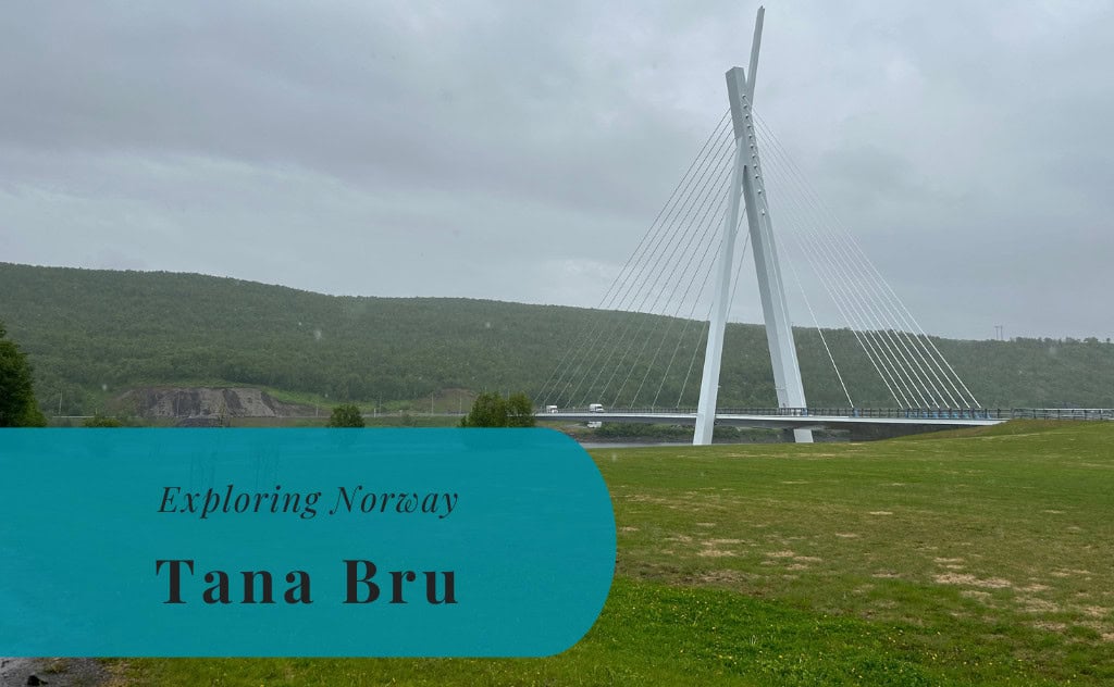
Tana Bru, Øst-Finnmark | Exploring Norway
Tana Bru is a village in Finnmark county, northern Norway. Serving as the administrative center of Tana Municipality, the village is located directly on the E6 highway, the main road artery for Arctic Norway. Situated at the head of the Porsangerfjord, one of Norway’s longest fjords, Tana Bru functions as a key service and communication hub in the region. The village has a population of approximately 750 residents, making it the largest settlement in the municipality.
The character of Tana Bru is defined by its function as an administrative center and its location within the Arctic environment. The village itself is small and modern, having been completely rebuilt after World War II. It serves a large and sparsely populated municipality with a multi-ethnic history of Sámi, Kven, and Norwegian settlement. The Tana River, one of Europe’s most significant salmon rivers, is central to the area’s identity and daily life.

A Short History of Tana Bru
The history of Tana Bru is that of a modern settlement whose existence is defined by its role as a river crossing. For centuries, the area was a meeting point for the multi-ethnic communities of the Tana Valley. The development of the village itself, however, was shaped by the need for transportation and communication in the vast Finnmark region. Its identity was profoundly impacted by the events of World War II. The construction of bridges in the 20th century was the primary catalyst for its modern function as an administrative center.
A River Crossing and Multi-Ethnic Roots
The area around the Tana River has been home to the indigenous Sámi people for centuries. The region was also a meeting point for Kvens, who were descendants of Finnish immigrants, and for Norwegians. For centuries, these communities lived off the land and water, with fishing and hunting providing the primary livelihoods. The river, Lakselva, which means “Salmon River,” indicates the historical importance of salmon fishing. The village of Tana Bru developed as a trading and service point centered on the main crossing point of the river.
World War II and a New Bridge
During the German occupation of Norway in World War II, a major airfield was constructed at Banak, near Lakselv, making the wider region strategically important. The original bridge at Tana Bru was destroyed by retreating German forces in 1944 as part of their scorched-earth policy. This act, which also destroyed most of the buildings in Finnmark, was meant to hinder the advancing Soviet forces. After the war, the construction of a new bridge became a priority, with the replacement structure being completed in 1948.
Modern Administrative Center
The construction of the 1948 bridge transformed the area. Tana Bru became a key transportation node, connecting regions on both sides of the river and linking Norway with Finland via the E6 and E75 highways. This led to its growth as a trade and service center. The village further grew with the establishment of municipal services, becoming the administrative hub for the vast Tana municipality. In 2020, a new, modern Tana Bridge opened, replacing the 1948 structure and continuing its legacy as a symbol of connectivity.
Things to Do and See
The sights in and around Tana Bru are centered on the powerful interplay between human engineering, Sámi cultural heritage, and the vast Arctic environment. The most prominent man-made landmark is the modern Tana Bridge, which serves as a vital artery for the entire region. This bridge spans the Tana River, a major natural feature in its own right and a river system of great importance to local life. For cultural context, the local museum provides deep insight into the lives of the Sámi people who have inhabited this valley for centuries. Beyond the village itself, the surrounding tundra and specific natural phenomena like the Midnight Sun define the experience of visiting this part of Finnmark.
The Tana Bridge
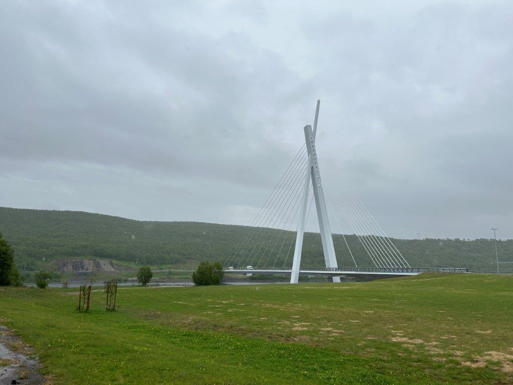
The Tana Bridge (Tana bru) is the primary landmark of the area. The current bridge, which opened in 2020, is a modern cable-stayed bridge that spans the Tana River. It offers views of the river valley. The bridge is a key piece of infrastructure on the E6 and E75 highways. As a vital connection between the different communities scattered along the riverbanks, its modern design stands in contrast to the surrounding natural landscape.
The Tana River
The Tana River (Deatnu in Sámi, Teno in Finnish) is itself a major natural feature. It is one of Europe’s most significant rivers for Atlantic salmon. For much of its length, the river forms a natural border between Norway and Finland. Fishing is a major activity that is deeply ingrained in the local culture and economy. The wide expanse and steady flow of the river define the landscape of the entire valley.
Natural Phenomena
Depending on the season, two major natural phenomena are primary attractions in the Tana Bru area. From mid-May to late July, the Midnight Sun is visible, meaning the sun does not set below the horizon and provides 24 hours of continuous daylight. Conversely, in winter, from late September to late March, the Northern Lights (Aurora Borealis) can often be seen in the sky. Tana Bru’s northern latitude and low light pollution make it a suitable viewing location for both.

How to Get to Tana Bru
Reaching Tana Bru, located in the far north of Norway, is most often done by air or by road via the main E6 highway. The village serves as a key transport hub for the central Finnmark region, though reaching it requires travel through a remote Arctic landscape. Public transport connections exist but require planning due to the vast distances involved. The final leg of any journey will likely be by car or regional bus.
Arriving by Air
The closest major airports to Tana Bru are Vadsø Airport (VDS), about 70 kilometers away, and Kirkenes Airport (KKN), approximately 130 kilometers away. Another key regional airport is Lakselv Airport (LKL), about 130 kilometers to the west. These airports have daily connections to Tromsø and Oslo, operated by Widerøe and SAS. From any of these airports, the journey must be completed by bus or car to reach Tana Bru.
The Arctic Road Trip: Driving
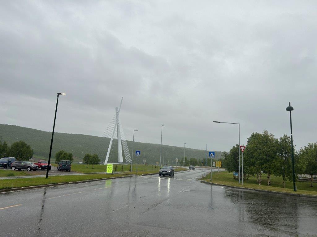
Driving is a common way to reach Tana Bru, especially for those exploring the region by car. The village is located at the junction of European Route E6 and European Route E75. The E6 is Norway’s main north-south highway, while the E75 provides a direct connection to Finland. These roads cross the new Tana Bridge. Winter driving conditions can be challenging and may require studded tires and careful planning.
Connecting by Coach
Tana Bru is a hub for regional bus services in Finnmark. The regional public transport company, Snelandia, operates these routes. You can find bus connections to places like Kirkenes, Vadsø, and Karasjok. These buses often coordinate with flight arrivals at the local airports. Long-distance buses do not run directly from southern Norway due to the immense distances involved.
Driving Distances
The driving distance from 10 regional cities, according to Google Maps:
- Kirkenes, Norway – 141 kilometers (2 h 00 min)
- Rovaniemi, Finland – 431 kilometers (5 h 20 min)
- Tromsø, Norway – 544 kilometers (7 h 30 min)
- Luleå, Sweden – 715 kilometers (8 h 50 min)
- Narvik, Norway – 802 kilometers (10 h 40 min)
- Helsinki, Finland – 1290 kilometers (15 h 50 min)
- Trondheim, Norway – 1505 kilometers (19 h 30 min)
- Stockholm, Sweden – 1632 kilometers (19 h 30 min)
- Oslo, Norway – 1819 kilometers (22 h 30 min)
- Copenhagen, Denmark – 2237 kilometers (25 h 50 min)
Looking to Explore more of Norway and Europe?