Mirador de la Ampuyenta, Fuerteventura | Exploring Spain
Mirador de la Ampuyenta is a scenic viewpoint located in the central part of the island of Fuerteventura, one of the Canary Islands of Spain. A “mirador” is a purpose-built lookout point, usually situated at a high elevation to offer expansive views of the surrounding landscape. This mirador is a part of the municipality of Antigua. It is a designated stop on a cultural and historical route near the small, traditional village of Ampuyenta.
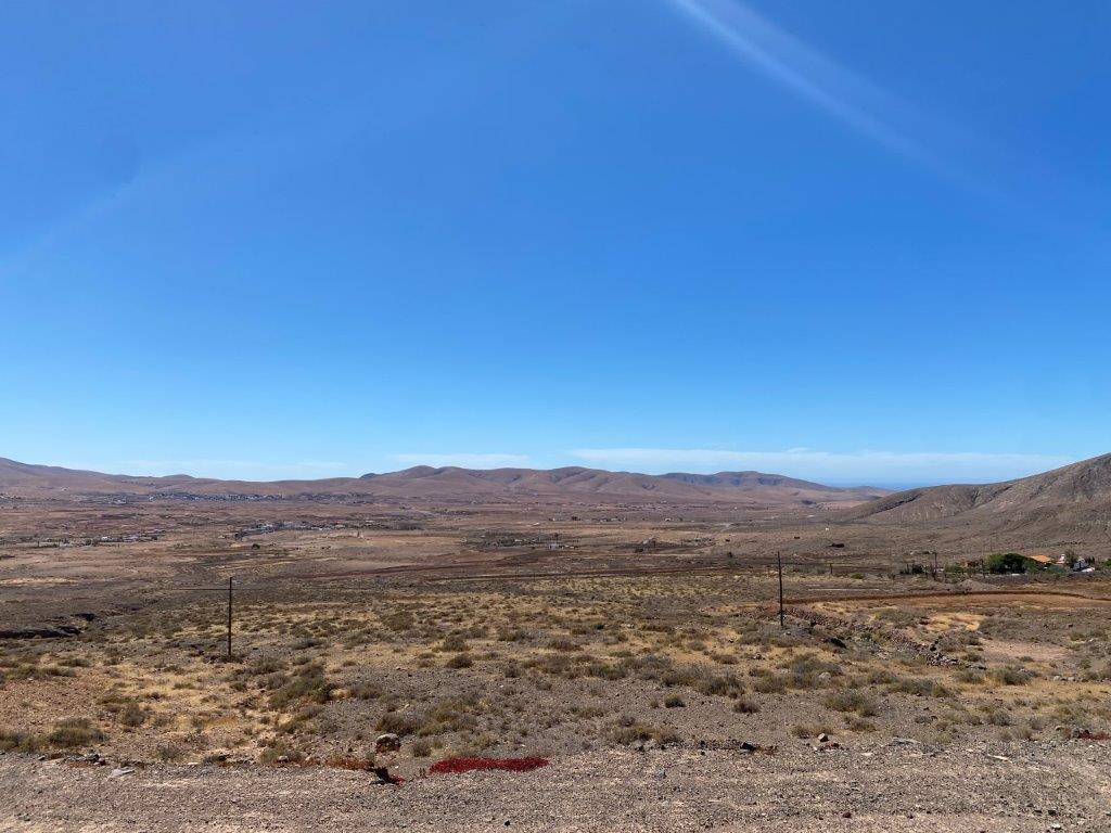
The identity of the Mirador de la Ampuyenta is that of a cultural viewpoint. It is a place designed not only for admiring the natural scenery but also for reflecting on the history of the island. The viewpoint offers a sweeping vista of the traditional village of Ampuyenta and the arid, volcanic landscape of central Fuerteventura. It provides a different perspective of the island, away from the busy coastal resorts, and it showcases the beauty of the island’s interior.
History of Mirador de la Ampuyenta
The history of the Mirador de la Ampuyenta is a modern one, as the viewpoint itself was created as a tourist and cultural attraction in recent times. However, the history of the village of Ampuyenta that it overlooks is much older. The village was an important agricultural and religious center in the 18th and 19th centuries. The creation of the mirador is a part of an effort to preserve and showcase the rich cultural heritage of the interior of Fuerteventura.
Sights in Mirador de la Ampuyenta
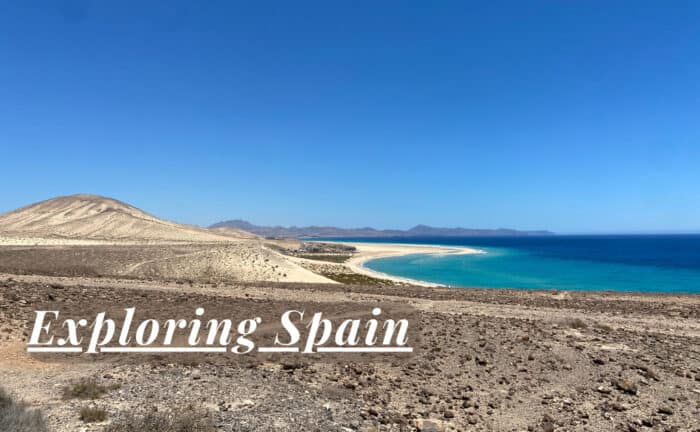
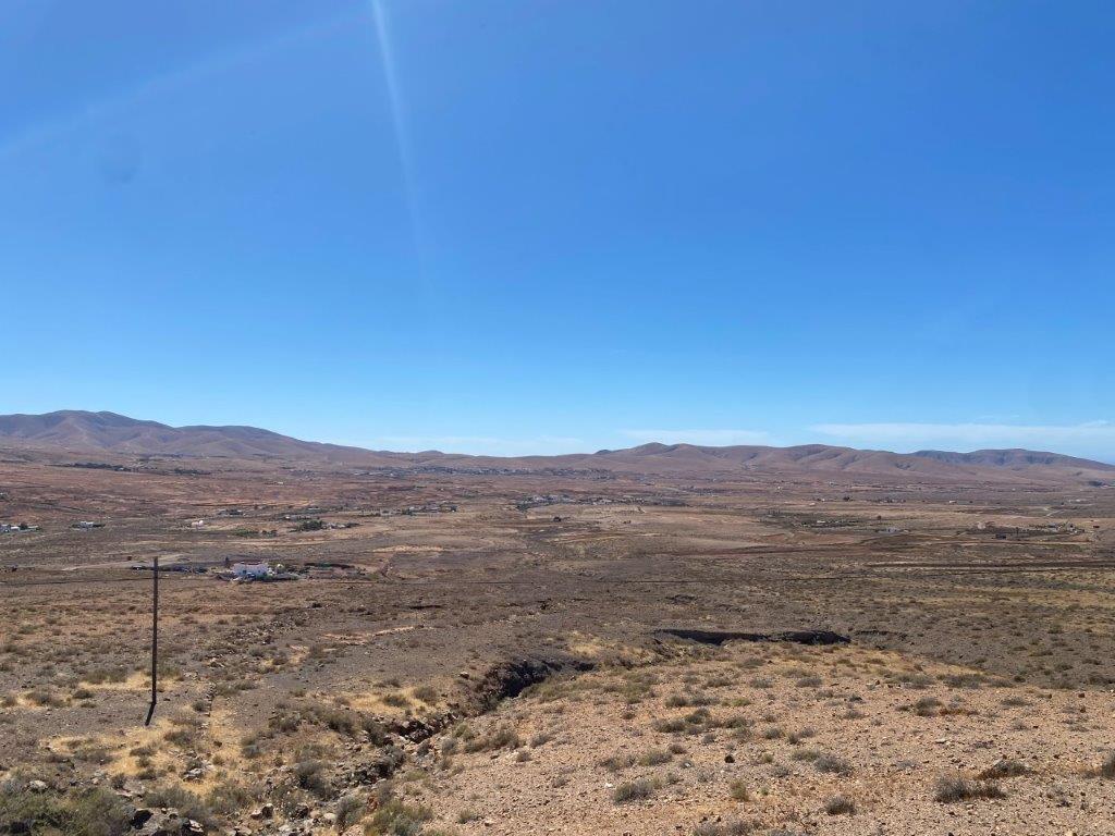
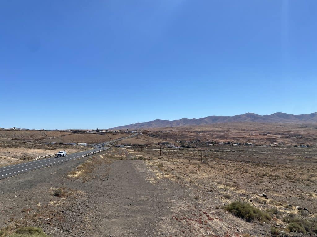
The main sight at the Mirador de la Ampuyenta is the spectacular panoramic view of the surrounding landscape. The viewpoint is strategically located to offer a sweeping vista over the village of Ampuyenta and the arid, volcanic plains of central Fuerteventura. This view is the primary reason for visiting this tranquil and scenic spot.
The Panoramic View
The main reason to visit the mirador is for the magnificent panoramic view. From the viewpoint, you can see the entire village of Ampuyenta, with its whitewashed houses and its historic church. The view also takes in the vast, arid plain of central Fuerteventura, which is dotted with volcanic hills. It is a beautiful and peaceful place that offers a different perspective of the island, away from the busy coastal resorts.
How to Get to Mirador de la Ampuyenta?
The Mirador de la Ampuyenta is located in the central part of the island of Fuerteventura. The main gateway to the island for international visitors is Fuerteventura Airport (FUE). From the airport and the capital city, Puerto del Rosario, the mirador is easily accessible by car or by the public bus service.
Driving to the Viewpoint
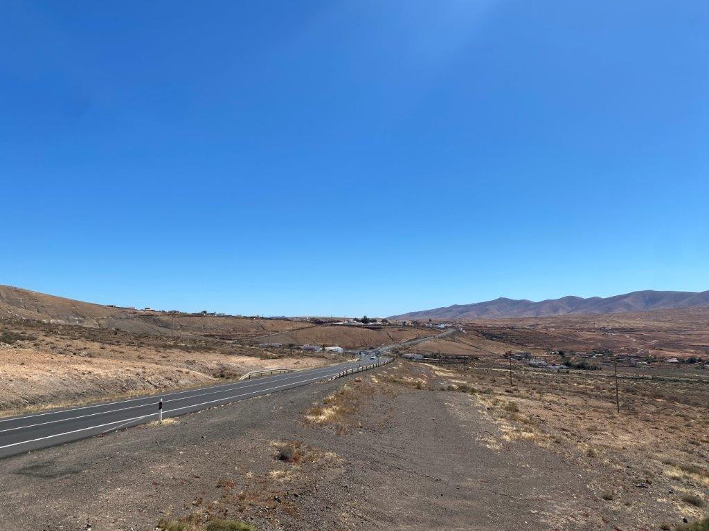
Driving to the Mirador de la Ampuyenta is straightforward. From the airport, you would take the main FV-2 road towards the capital, Puerto del Rosario. From there, you would take the FV-20 road, which is the main road that runs through the interior of the island towards the town of Antigua. The mirador is located directly on this road, just before you reach the village of Ampuyenta.
Connecting by Bus
The public bus system on Fuerteventura is operated by the company Tiadhe. The bus route that connects the capital, Puerto del Rosario, with the town of Antigua passes directly by the village of Ampuyenta. The journey by bus is an affordable way to reach the area and to see the beautiful landscape of the island’s interior.
Driving Distances
The driving distance from 20 regional cities, according to Google Maps:
- Antigua, Fuerteventura – 5 kilometers (0 h 05 min)
- Tefía, Fuerteventura – 10 kilometers (0 h 10 min)
- Betancuria, Fuerteventura – 15 kilometers (0 h 20 min)
- Puerto del Rosario, Fuerteventura – 20 kilometers (0 h 20 min)
- Fuerteventura Airport (FUE) – 20 kilometers (0 h 20 min)
- Caleta de Fuste, Fuerteventura – 20 kilometers (0 h 20 min)
- Pozo Negro, Fuerteventura – 25 kilometers (0 h 30 min)
- Tindaya, Fuerteventura – 25 kilometers (0 h 30 min)
- Pájara, Fuerteventura – 30 kilometers (0 h 30 min)
- La Oliva, Fuerteventura – 30 kilometers (0 h 30 min)
- Gran Tarajal, Fuerteventura – 35 kilometers (0 h 35 min)
- Villaverde, Fuerteventura – 35 kilometers (0 h 35 min)
- Ajuy, Fuerteventura – 35 kilometers (0 h 40 min)
- Lajares, Fuerteventura – 40 kilometers (0 h 40 min)
- Las Playitas, Fuerteventura – 40 kilometers (0 h 40 min)
- El Cotillo, Fuerteventura – 45 kilometers (0 h 45 min)
- Corralejo, Fuerteventura – 45 kilometers (0 h 45 min)
- La Pared, Fuerteventura – 50 kilometers (0 h 50 min)
- Costa Calma, Fuerteventura – 60 kilometers (0 h 55 min)
- Morro Jable, Fuerteventura – 80 kilometers (1 h 10 min)
Looking to Explore more of Spain and Europe?