
Baarle-Hertog, Flanders | Exploring Belgium
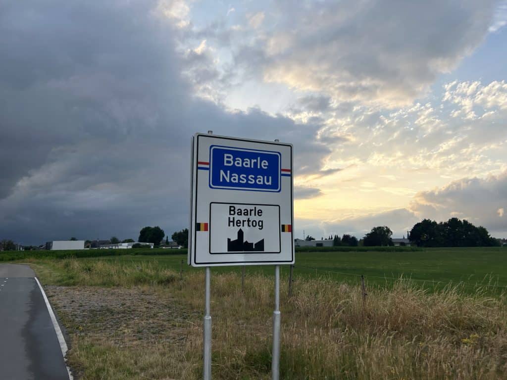
Baarle-Hertog is a municipality in the province of Antwerp, located in the Flemish Region of Belgium. The municipality is known for its highly complex border with the Dutch municipality of Baarle-Nassau. With a population of approximately 2,900 residents, Baarle-Hertog is a unique geopolitical curiosity. It consists of 22 Belgian enclaves located within the Netherlands, as well as a main contiguous part of Belgium to the south. The name Baarle-Hertog refers to the Duke (Hertog) of Brabant.
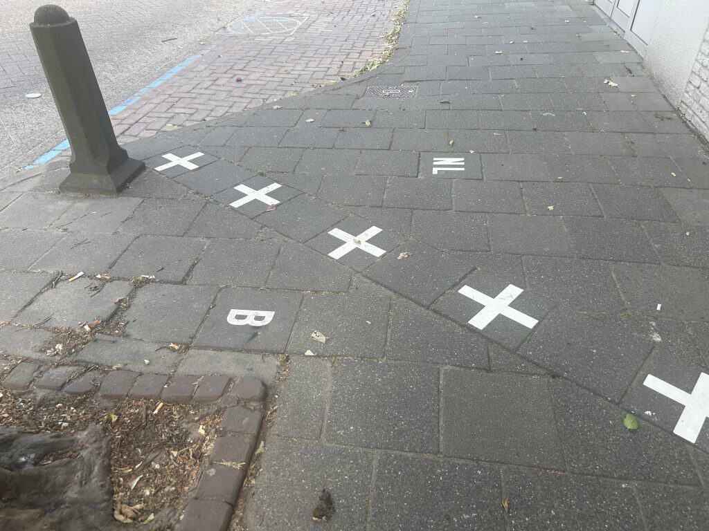
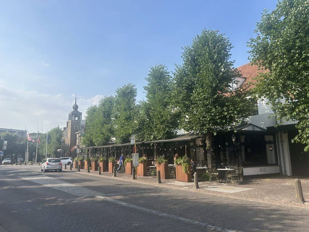
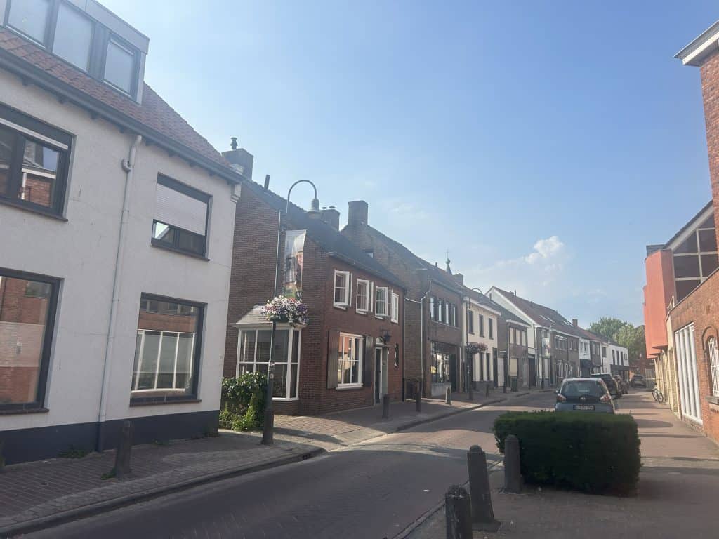
The character of Baarle-Hertog is defined by this fragmented geography. The town of Baarle, which it shares with Baarle-Nassau, is a patchwork of Belgian and Dutch territory. The international border is marked on the streets and runs through buildings, creating a unique urban environment. The Belgian parts of the town function under Belgian law and administration, even when they are completely surrounded by Dutch territory. This complex situation is the primary attraction and a central part of daily life.


A Short History of Baarle-Hertog
The history of Baarle-Hertog is the story of how a complex medieval feudal system resulted in one of the world’s most intricate international borders. For centuries, the area was a collection of agricultural lands governed by different noble houses. The final demarcation of this border in the 19th century formalized a patchwork of territories that had existed for hundreds of years. This has given the municipality a unique place in the history of European border negotiations and diplomacy.
The Duke of Brabant’s Lands
The origins of the complex border in Baarle date back to the Middle Ages. In the 12th century, the land in the area was divided between two powerful feudal lords. The land that would become Baarle-Hertog was under the control of the Dukes of Brabant (Hertog is Dutch for Duke). The land that would become Baarle-Nassau was under the control of the Lords of Breda. Through a series of land swaps and treaties, certain parcels of land remained under the control of the Duke of Brabant, even though they were surrounded by the lands of the Lord of Breda.
Belgian Independence and the Border Treaty
This patchwork of land ownership continued for centuries. After Belgium gained its independence from the Netherlands in 1830, the old feudal boundaries needed to be officially surveyed to create a formal international border. The final border was established by the Treaty of Maastricht in 1843. The survey commission meticulously marked every single parcel of land according to its historical ownership. This resulted in the complex system of enclaves that exists today, with the lands of the former Dukes of Brabant becoming Belgian territory.



Things to Do and See
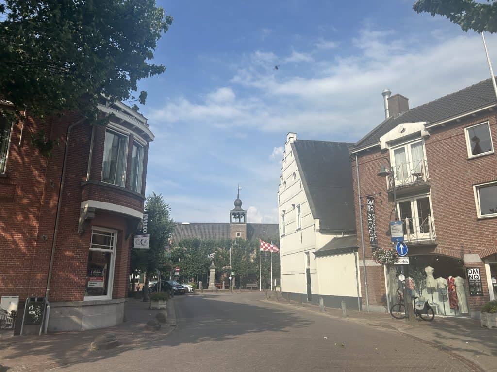
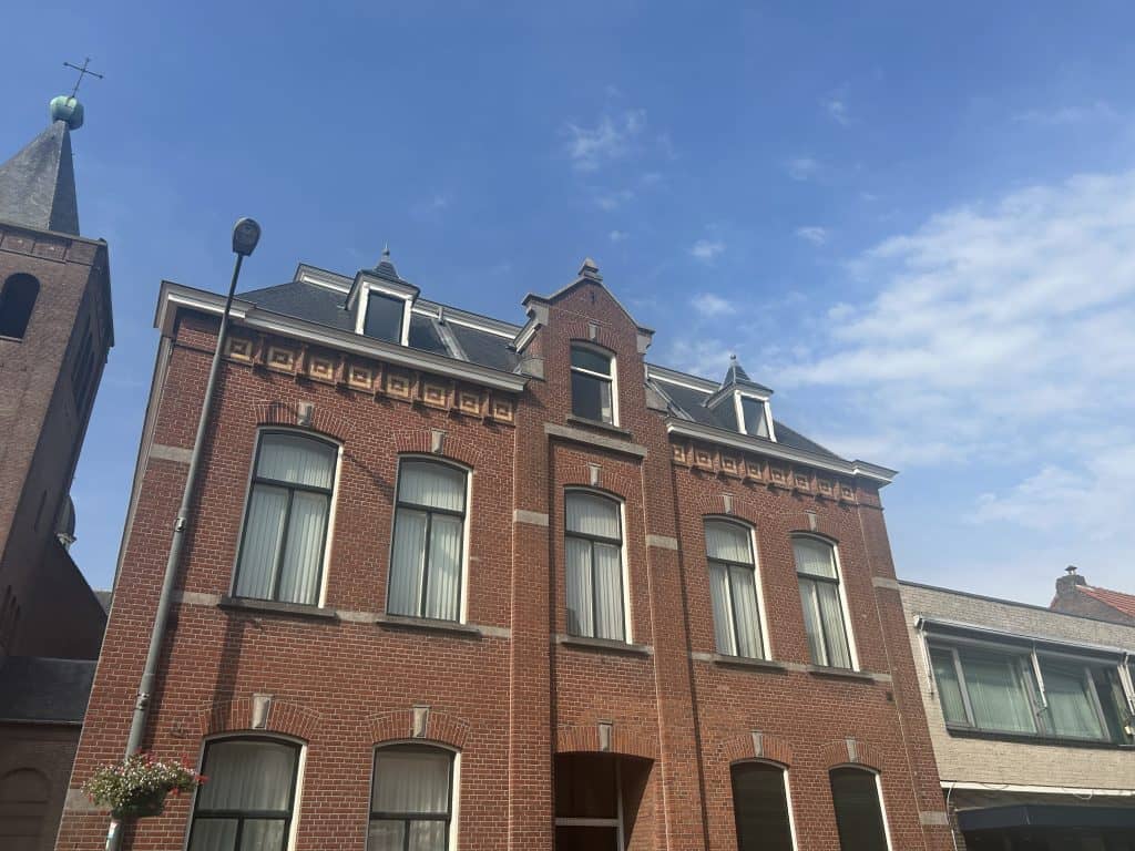
The sights in Baarle-Hertog are almost entirely focused on its unique border situation and its local history. The main points of interest are the border markers themselves, the historic churches, and the local administrative buildings. These attractions offer a direct look into the history and daily reality of life in this complex border town. The town itself is an open-air museum of geopolitics, where the concept of a national border is a tangible part of the urban landscape.
The experience of visiting Baarle-Hertog is one of constant border crossings, often without realizing it. A short walk through the town can involve crossing an international border dozens of times. The sights reflect this dual national identity, with separate administrative buildings, churches, and cultural institutions for the Belgian and Dutch communities coexisting side-by-side. This creates a unique environment for visitors to explore.
The Border Markings
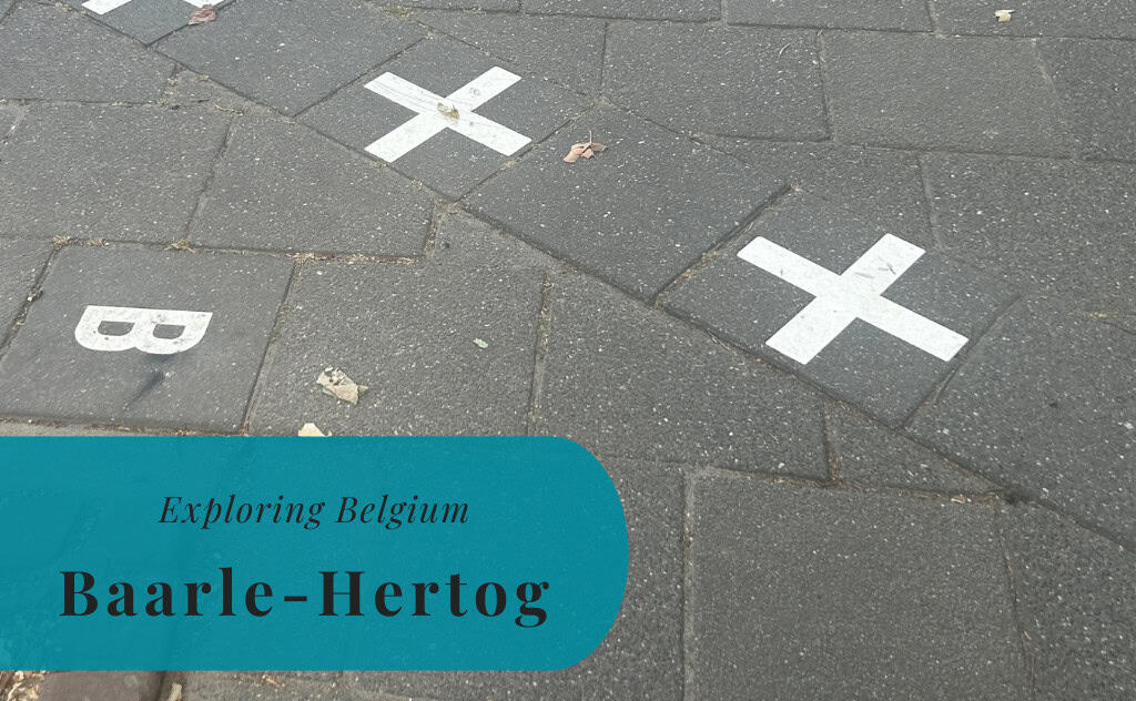
The most significant and ubiquitous sight in Baarle-Hertog is the international border itself. The border is marked on the pavements and roads throughout the town with a series of white crosses and metal studs. These lines allow visitors to be in both Belgium and the Netherlands at the same time. The border famously runs through houses, shops, and restaurants. The nationality of a building is determined by the location of its front door (voordeurregel). This has led to some buildings having two different house numbers, one for each country. These markers are the primary tourist attraction.
St. Remigius Church
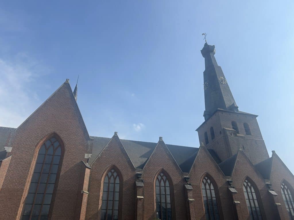
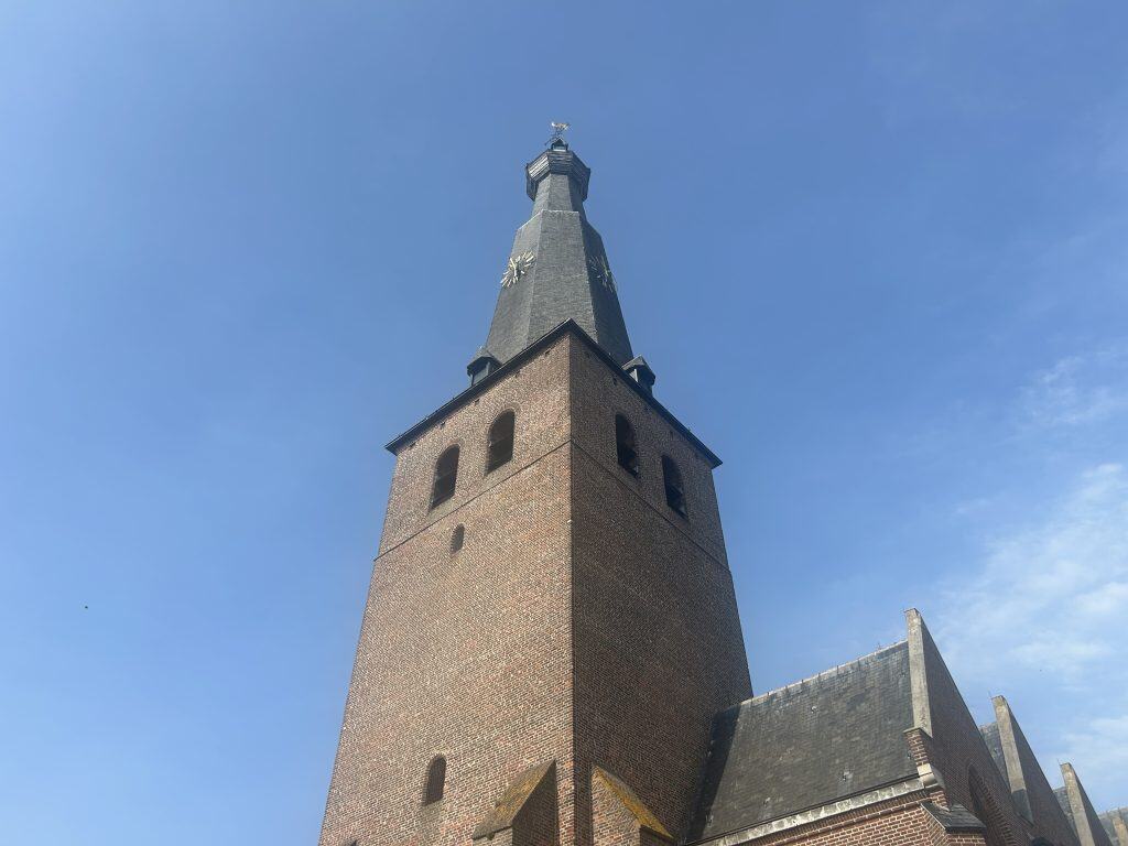
The St. Remigius Church (Sint-Remigiuskerk) is the main Belgian Catholic church in Baarle-Hertog. It is located in the heart of one of the main Belgian enclaves. The church is a key landmark in the town and stands in close proximity to the Dutch St. Remigius Church, highlighting the dual nature of the town. The presence of two separate parishes in a single small town is a direct result of the complex border situation. The church was built in the 19th century in the Gothic Revival style. It is an active center for the local Belgian Catholic community.
The World’s Strangest Border Crossing
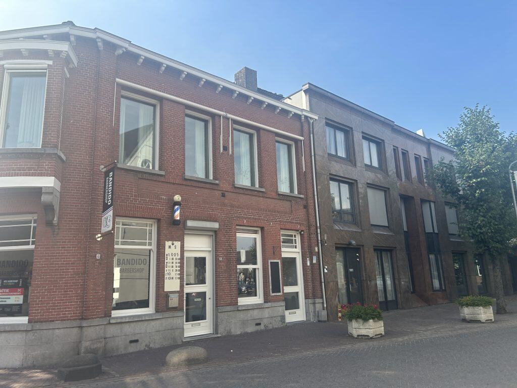
While the entire town is a border crossing, some specific locations highlight the complexity in a unique way. One such example is a former bank building that was split by the border. This meant that international financial laws had to be considered when moving money from one side of the office to the other. Another example is a house that had its front door moved after a survey changed its nationality, to take advantage of different laws. These specific spots are often pointed out on tourist maps of the town. This provides a direct look at the practical consequences of the enclaves.
Former Weelde Train Station
Located on the border just outside the main town is the former Weelde train station. The station was part of a Belgian railway line known as the “Iron Rhine.” The international border ran directly through the station building itself, with the ticket office in Belgium and the station master’s office in the Netherlands. This created a unique situation where the station served both countries. The railway line is no longer in use, but the historic station area is a point of interest that reflects the long history of cross-border transport.
Baarle’s Town Halls
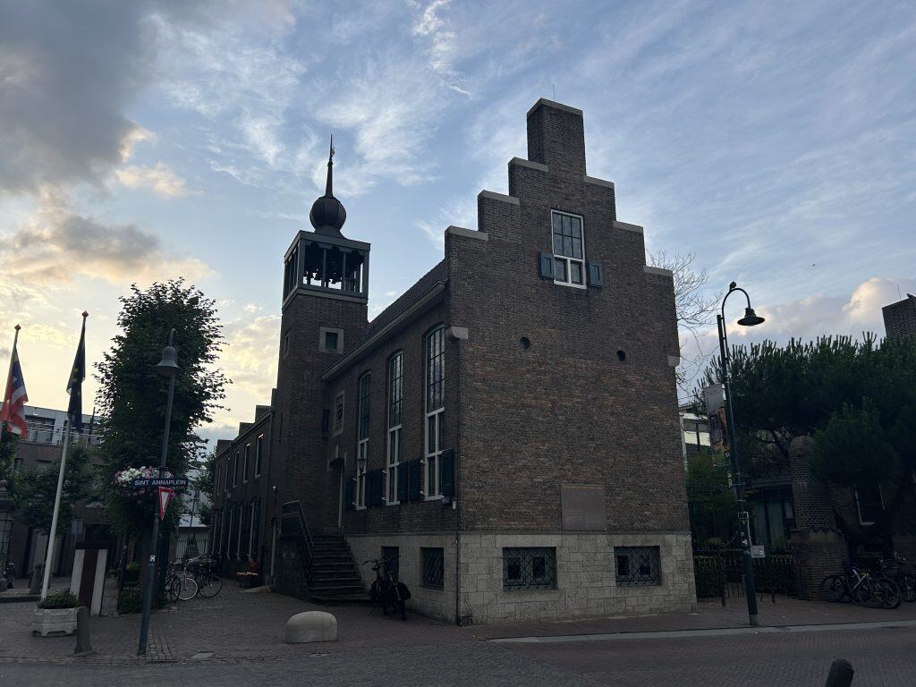
The town of Baarle has two separate town halls, one for the Belgian municipality and one for the Dutch. The Town Hall of Baarle-Hertog is located in the heart of the main Belgian enclave. The building is a key administrative center for the Belgian residents. The presence of two separate municipal governments, with their own mayors, councils, police forces, and fire departments, in a single town is a direct result of the complex border situation. The Belgian town hall is a distinctive building that serves as the seat of local government for the enclaves.



Sports in Baarle-Hertog
The sporting life in Baarle-Hertog is centered on its local community clubs. The clubs provide opportunities for residents to participate in a variety of organized sports. The clubs often have a mix of Belgian and Dutch members, reflecting the integrated nature of the community. Football is the most popular sport in the town.
Football
As with most of Belgium, football is a popular sport in Baarle-Hertog. The local club plays a key part in the community and provides a platform for local players of all ages. The team competes in the regional amateur leagues of Belgium. The club is a central institution for the sport on the Belgian side of the border.
KFC Baarle
The town’s main football club is KFC Baarle. The club was founded in 1934. The senior football team competes in the lower tiers of the Belgian amateur football league system, part of the Royal Belgian Football Association. They play their home games at a local sports ground in the Belgian part of Baarle. The club is a key institution for community sports and has an extensive youth program.


How to Get to Baarle-Hertog
Reaching Baarle-Hertog requires travel to the northern part of Belgium, on the border with the Netherlands. The town is located in a rural area and is most easily accessed by road. The journey often involves a combination of motorway and regional road travel. The town serves as a unique destination that is accessible from major transport hubs in both Belgium and the Netherlands.
The Open Road: Driving to Baarle
Driving is the most practical way to reach Baarle-Hertog. The town is connected by a network of regional roads. From Belgium, it is easily accessible from the city of Turnhout and the E34 motorway. From the Netherlands, it is a short drive from the A58 motorway that connects Breda and Tilburg. A car provides the necessary flexibility for exploring the unique border situation and the surrounding countryside. Parking is available in the town center.
Arriving by Air: Nearby Gateways
The two closest major international airports are Eindhoven Airport (EIN) in the Netherlands and Brussels Airport (BRU) in Belgium. Both airports are located approximately a one-hour drive from Baarle. Another major option is Antwerp International Airport (ANR), which is closer but has fewer connections. From any of these airports, a rental car is the most practical option for completing the journey. It is also possible to take a combination of train and bus services.
On Track: A Journey by Rail and Bus
Baarle-Hertog does not have its own train station. The closest major train stations are located in Turnhout in Belgium, and in Breda and Tilburg in the Netherlands. All of these cities have frequent connections to the national rail networks of their respective countries. From any of these train stations, a connecting regional bus service operated by the Belgian company De Lijn or the Dutch company Arriva is required to complete the journey to Baarle.
Connecting by Coach
There are no direct long-distance bus services to the small town of Baarle-Hertog. Travel by coach would typically involve taking a service from a company like FlixBus to a larger nearby city, such as Antwerp, Breda, or Tilburg. From the main bus stations in these cities, travelers would then need to transfer to a regional bus service to complete the journey to Baarle. This multi-stage journey can be an economical option.
Driving Distances
The driving distance from 10 regional cities, according to Google Maps:
- Antwerp, Belgium – 47 kilometers (0 h 50 min)
- Rotterdam, Netherlands – 68 kilometers (1 h 00 min)
- Utrecht, Netherlands – 75 kilometers (1 h 10 min)
- Brussels, Belgium – 91 kilometers (1 h 20 min)
- Ghent, Belgium – 102 kilometers (1 h 20 min)
- Amsterdam, Netherlands – 113 kilometers (1 h 40 min)
- Lille, France – 174 kilometers (2 h 00 min)
- Cologne, Germany – 216 kilometers (2 h 30 min)
- Luxembourg City, Luxembourg – 299 kilometers (3 h 20 min)
- Paris, France – 402 kilometers (4 h 30 min)
Looking to Explore more of Belgium and Europe?




A quirky place.
Indeed. 🙂