Along the Arctic Fjords of Norway | Arctic Tour 2024 [8/14]
Where do you go after reaching Nordkapp? If you are traveling by road, there is really only one direction available from this point, and that is to drive south. We knew we would stay a few more days in the Arctic as we set our course back along the shores of the impressive Porsangerfjorden. With our main goal of the trip now behind us, it was time to plan our new route back towards Finland. The question was, should we go directly south to Karigasniemi? Or should we continue even further eastward in northern Norway? This is the eighth of fourteen posts about our great Nordic adventure.
The journey south from Magerøya island took us along the shores of the Porsanger Fjord (Porsangerfjorden). This is the fourth-longest fjord in Norway, stretching for 123 kilometers from the Barents Sea into the heart of the Finnmark plateau. The fjord is a wide and relatively shallow body of water, dotted with numerous islands and skerries. The surrounding landscape is characterized by a low, barren, and treeless tundra environment, typical of the Arctic. The Porsanger Fjord is an important area for birdlife and is home to several large nature reserves.
Driving South to Lakselv
We had a few hours of driving south from Nordkapp to decide where to continue our journey. It was first in the village of Lakselv that we had the next major intersection. This was an intersection where we would have to choose our next direction. We could either continue back south towards the Finnish border at Karigasniemi, a direct route out of Norway. Alternatively, we had the option to continue eastwards towards Kirkenes and the Russian border. We actually reached Lakselv and had a short stop to refuel before making our final decision.
We did consider Kirkenes, but the drive was a bit longer than we liked for our current schedule. Driving south towards Finland was tempting. We had already been to the northernmost point of Sweden just a few days earlier. Would it be possible to visit the northernmost point of Finland as well during this trip? It would add some time to our journey, but we ultimately set our direction east towards the border crossing at Nuorgam. It was time to really make this Arctic Tour into an exploration of the region’s geographical extreme points.

A Night in Kunes
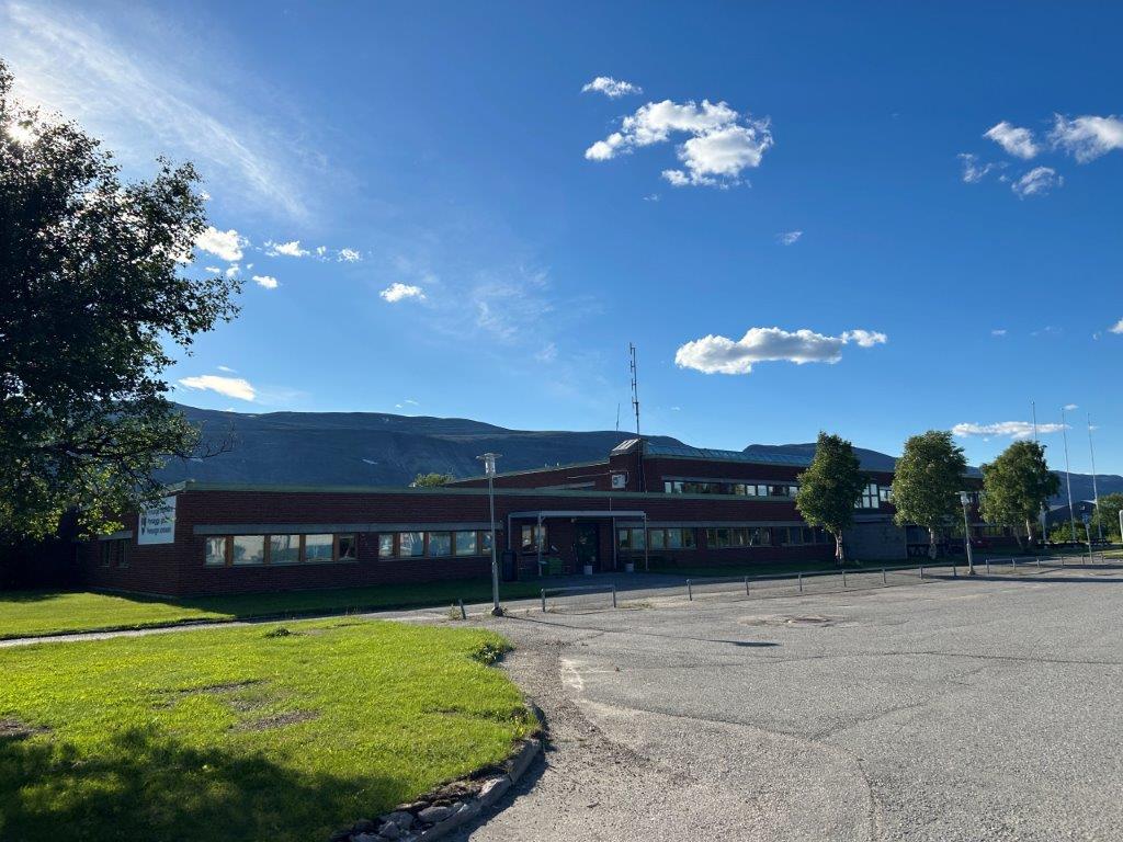
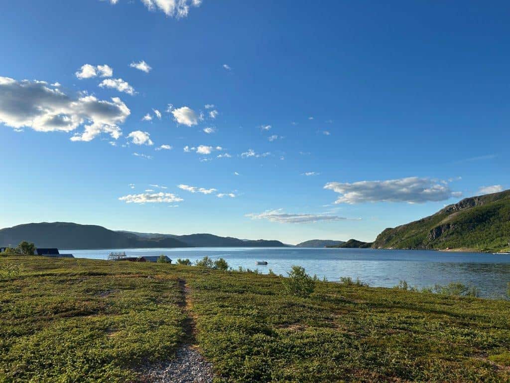
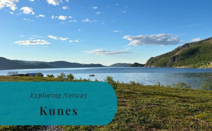
After spending the last night at the crowded parking lot at Nordkapp, it was quite a long drive before we arrived at the campsite in the village of Kunes. While Susann’s mother prepared some dinner in the motorhome, Susann’s father and I took our bikes and headed out to explore the small settlement. We especially wanted to get a glimpse of the Laksefjorden, the large fjord to our east. It was an impressive thought that the Arctic Ocean was located just to our north from here. The bike ride did, however, leave me with a flat tire. My plan to head off early the next morning, ahead of the others, was not looking bright. Luckily, I had a night to sleep on it and try to find a solution.
Kunes is a very small settlement in Lebesby Municipality, located in the Finnmark region of Norway. The village is situated at the head of the Oksfjorden, which is a branch of the larger Laksefjorden. Its location at the junction of Norwegian County Road 98 and County Road 888 makes it a small but significant service point for travelers. It is positioned in the sparsely populated landscape between two of Norway’s largest fjords. The area is primarily a center for the local Sámi reindeer-herding community and for some fishing.

Cycling from Kunes to Ifjord
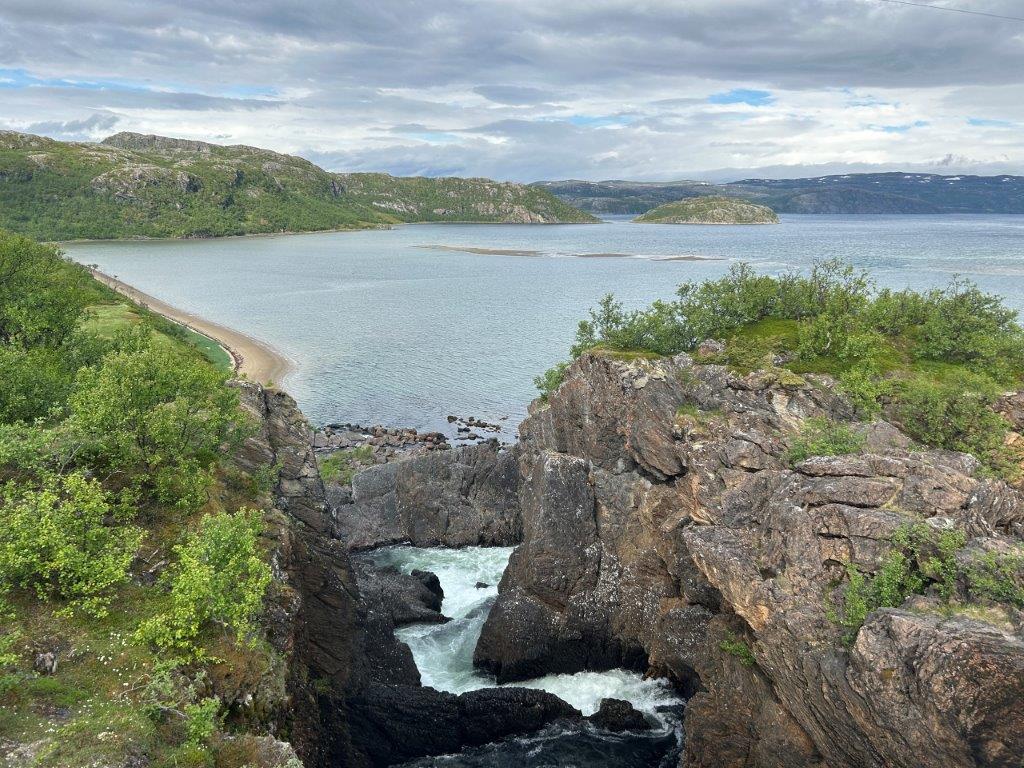
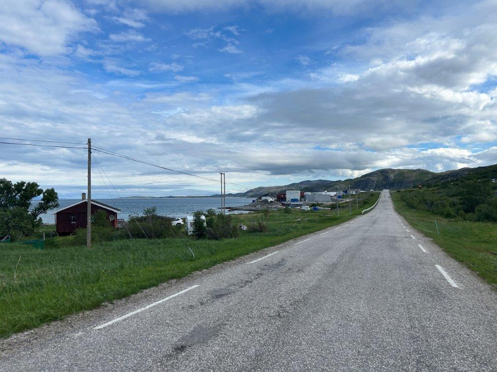
When waking up the next morning, I had two options. I could wait for the others to wake up and help me fix my bike, or I could borrow Susann’s father’s bike and ride off ahead of the others as I had planned. I opted for borrowing the bike and set off along the road eastwards. It would be a battle between climbing the slopes up the mountainsides and braking like a maniac when going downhill on the other side. The climb uphill began directly after Kunes, and I had almost given up once I finally could roll down towards the river Adamsfjordelva and the rest area at the Adamsfjordfossen waterfall.
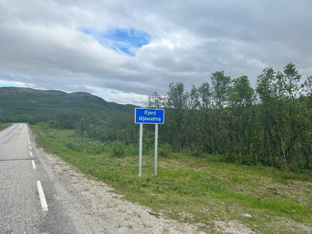
It was while going downhill that I noticed that I did not trust the brakes of the bike. If I braked for too long and too hard, they would just pop and stop braking. Once it happened, I just had to let go of the brake and brake again, but it was quite a scare the first time. The next climb after the river was a little bit easier, and I was soon on my way back down towards Landersfjord. It was the third climb that was the worst. The road led up to the highest point so far, and I was really ready for my company to show up on the road behind me. When I eventually was rolling down the hill towards the settlement of Ifjord, I knew that I was not going further today. Instead, I stopped at the local gas station and waited for the rest to catch up.



Back to Finland
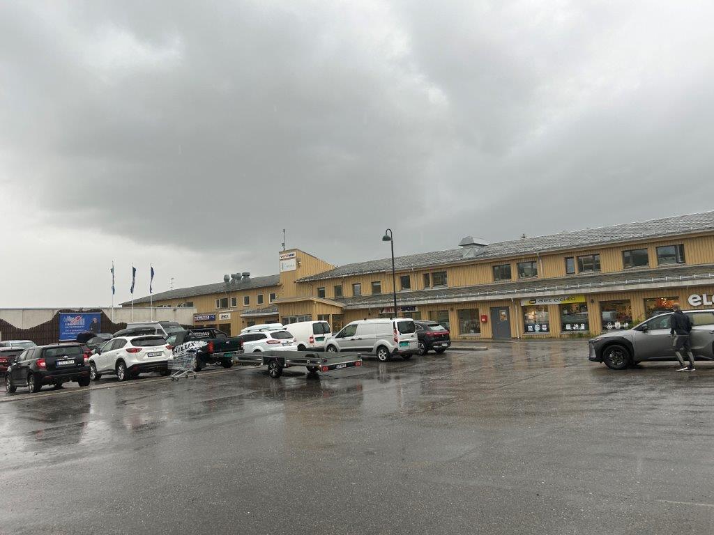
I was more than happy to sit for some time in the motorhome as we continued towards the border with Finland. The bike ride had been a total of 35 kilometers. The elevation had been between 3 and 130 meters above sea level. In total, I had climbed 620 meters uphill according to my watch, which probably explains my slow average speed. We only made a short stop in the town of Tana Bru to purchase a replacement bicycle tube for my bike. This was just to make sure that I could use my own bike to explore later on in the trip. It was now time to continue this adventure in Finland.
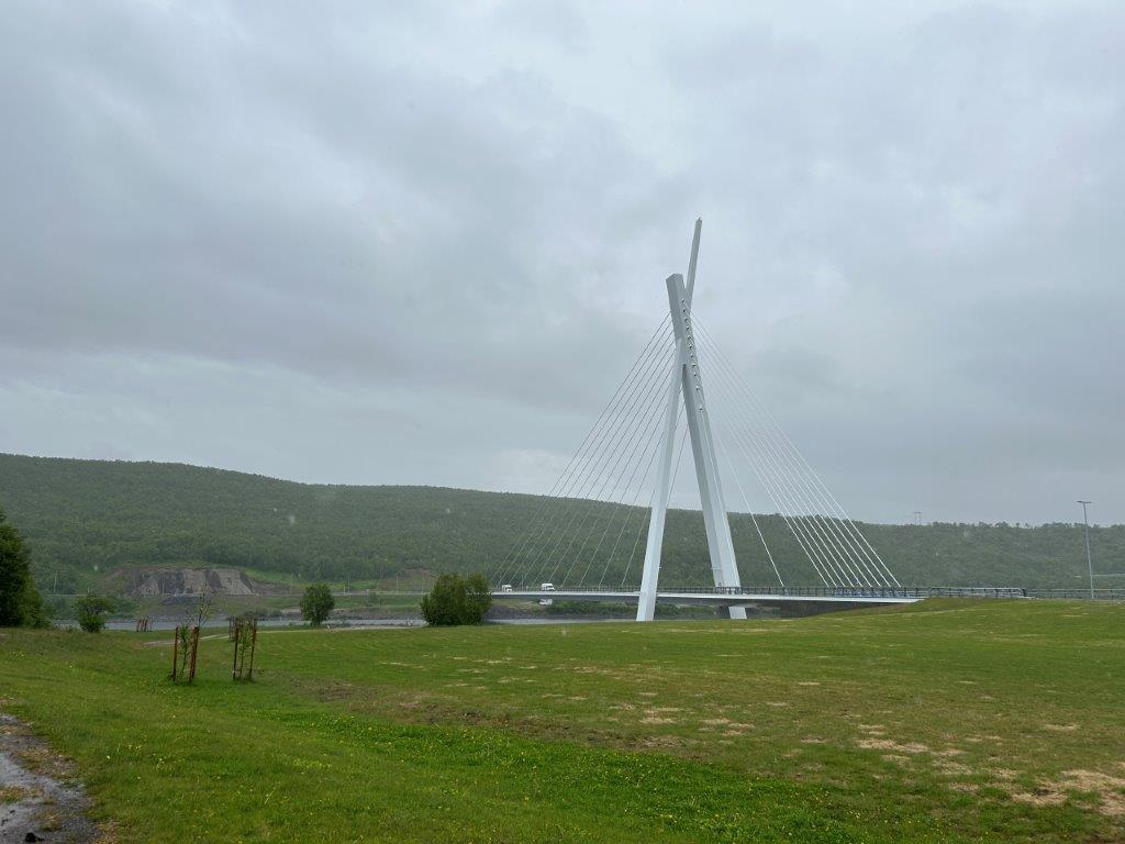
Tana Bru is the administrative center of Tana Municipality in the Finnmark region of Norway. The town is located on the Tana River, which is one of Europe’s most important rivers for Atlantic salmon. The Tana Bridge, which gives the town its name, is a key crossing point in the region. It is located at the junction of the major European routes E6 and E75. The town is a major service center for the surrounding area and for the local Sámi population. It is a key hub for transport and commerce in eastern Finnmark.
Read More About Some of the Visited Places


Want to Read More About This Adventure?