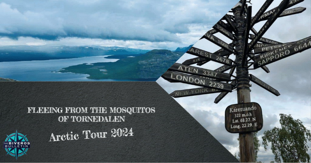
Fleeing from the Mosquitos of Tornedalen | Arctic Tour 2024 [4/14]
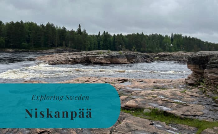
For our third night away, we had stopped with the motorhome at the rapids of Kattilakoski. These rapids in the Torne River are located on the outskirts of the small settlement of Niskanpää, just south of the Arctic Circle. Was it a smart stop? It was a beautiful spot for a stop, with the sound of rushing water as our only companion. However, an unexpected change of plans would result in some very early morning explorations and even the climbing of a mountain later in the day. This is the fourth of fourteen posts about our great Nordic adventure. Join us as we drive north towards Kilpisjärvi, four adults and a seven-year-old in a motorhome.
A Different Kind of Wake-Up Call
It was just after 3 a.m. that I was woken up by a lot of activity in the motorhome. Susann’s parents had been tormented by mosquitoes during the whole night so far. There were thousands of them swarming around the motorhome when we turned off the lights for the night. They had, however, found a way in through the ventilation somewhere in the back of the car where Susann’s parents were sleeping. Needless to say, there was no way for anyone to keep sleeping as they made their way through the car. It only took a few minutes before we were back on the road. It was an extremely early start to the day, something that would provide new and unexpected opportunities later on.
The Arctic Circle in Juoksengi
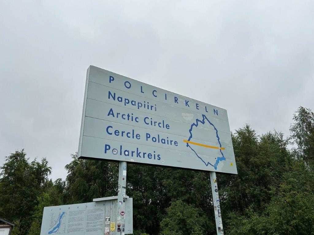
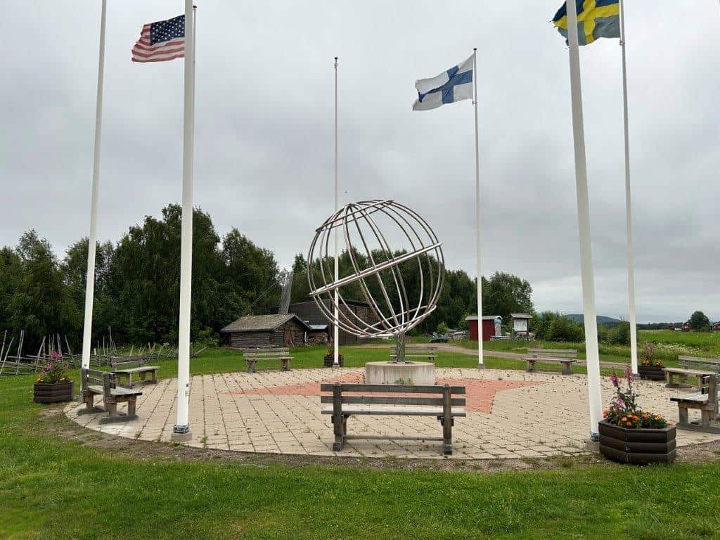
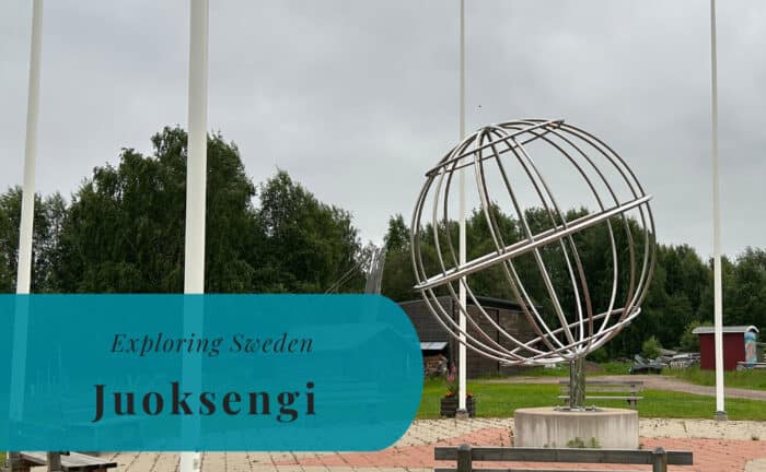
We only drove for a few kilometers before stopping to gather ourselves and plan the rest of the day. Conveniently enough, we happened to stop in Juoksengi, a village located right on the Arctic Circle. A few signs and a monument with the flags of the Arctic countries marked the precise line of the polar circle. It felt special to be standing there in the early morning light. Just a few days before Midsummer’s Eve, crossing this line meant that we would now be able to enjoy the midnight sun for the first time on our trip. There would be no more sunsets for a while.
Juoksengi is a small village in the municipality of Övertorneå, located in the Swedish part of the Torne Valley. The village markets itself as the “Arctic Circle Village” (Polcirkelbyn). The Arctic Circle is a line of latitude located at approximately 66.5 degrees north, and Juoksengi is one of the few settlements in Sweden that it passes directly through. The site is a popular tourist stop for those traveling north. It features several monuments, an information center, and a restaurant, all dedicated to its unique geographical position. The Arctic Circle marks the southernmost latitude where the sun can remain continuously above the horizon for 24 hours on the summer solstice.
Breakfast in Pajala
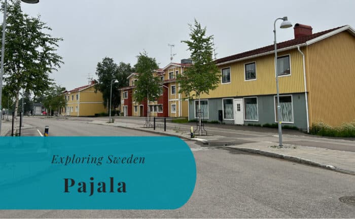
From Juoksengi, we continued our journey north to the town of Pajala, where we stopped to have some breakfast in the motorhome. The sun was now properly up, even though it was still very early in the morning. Pajala is probably best known for two main things. It was the home of the 19th-century pastor Lars Levi Læstadius, who was the father of Laestadianism, a conservative Lutheran revival movement. The second notable event is the release of the book Popular Music from Vittula in the year 2000.
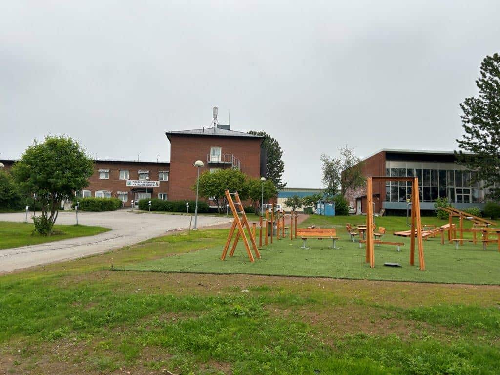
The book, written by Mikael Niemi, takes place in Pajala and has been translated into several languages; it was even made into a movie in 2004. It was also in Pajala that Little A got some time to play at the local playground. It was still very early in the morning, so there was no one else around. Still, it was a perfect time for her to get to play before we continued our long drive. The town itself was quiet and peaceful in the morning light, a typical northern Swedish community.

How to Pronounce Muodoslompolo?
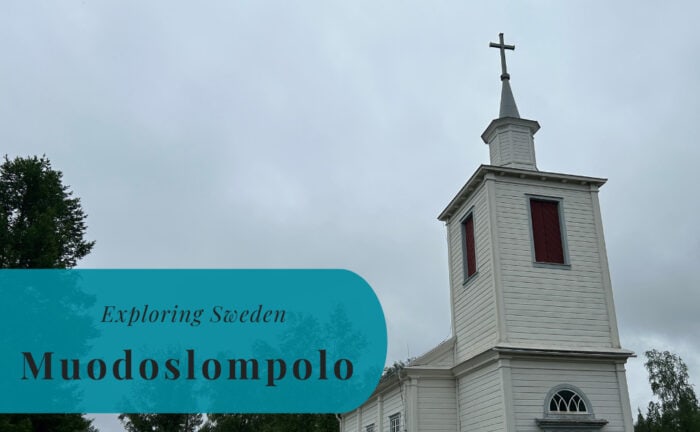
From Pajala, we continued north and made a short stop in the village of Muodoslompolo. My travel companions wanted some more coffee, so we had some time to try to pronounce the name Muodoslompolo. I can just say that we were not very successful in our attempts, and we did not even get a break from the mosquitoes. We just had to continue driving and hope for fewer mosquitoes in Karesuando. A locality in Sweden is defined as an urban settlement with at least 200 inhabitants, a definition shared with the other Nordic countries.


Border Crossing in Karesuando
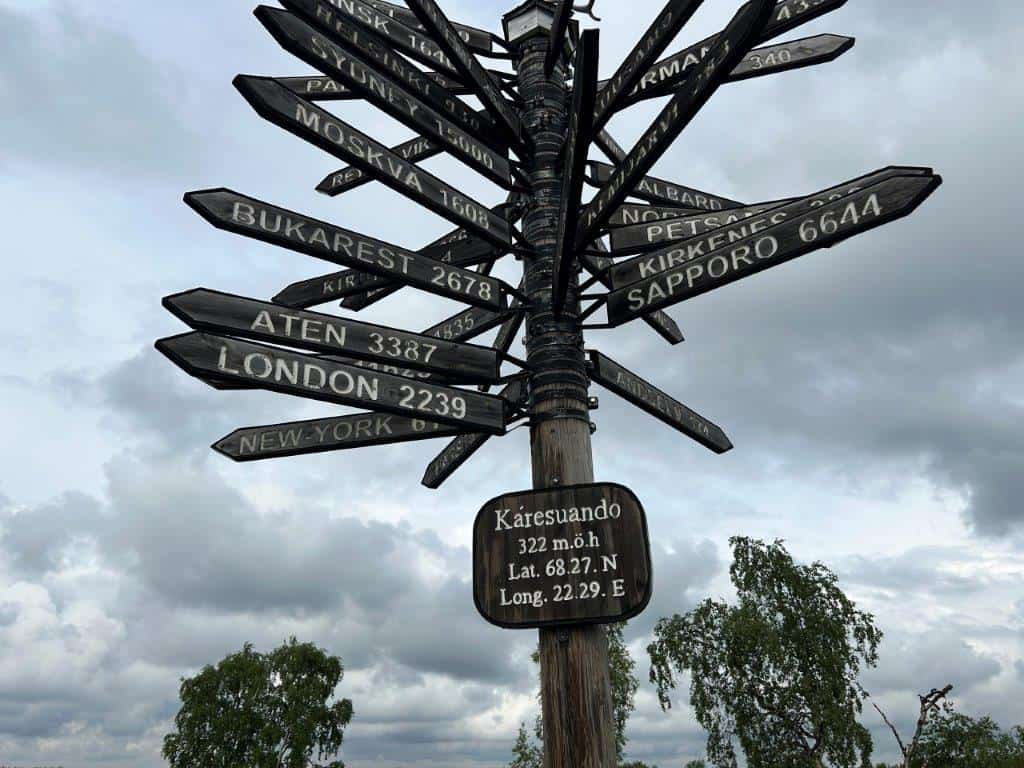
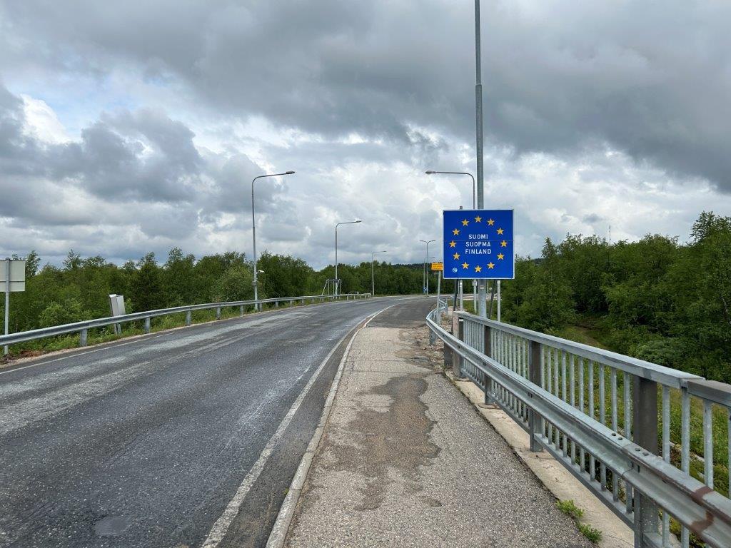
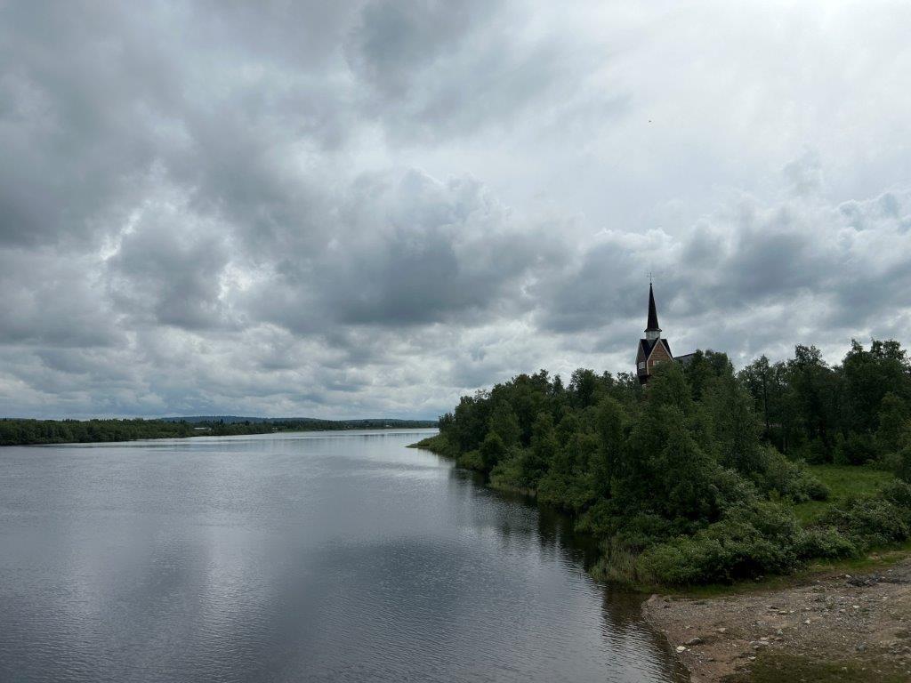
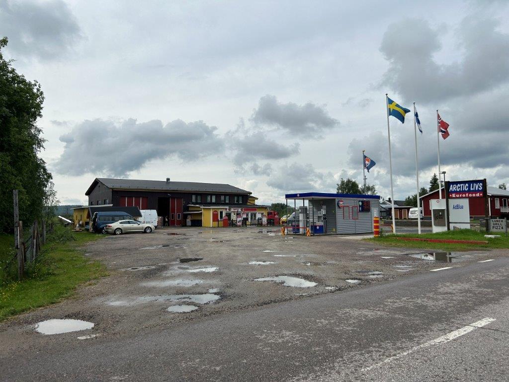
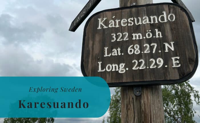
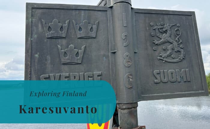
When we reached Karesuando, we also reached the northernmost locality in Sweden. Around 280 people live here, right on the border with Finland. There were definitely plenty more mosquitoes than people here. For us, it was just a short stop for lunch. While Susann’s mother cooked something small, I took the bike to explore Karesuando, but also to cross the Torne River and see the sister village of Karesuvanto in Finland. The sights might be limited, but there is still that special feeling when you cycle across a national border. It was a feeling that was similar to our visit here in 2022.


New Adventures in Kilpisjärvi
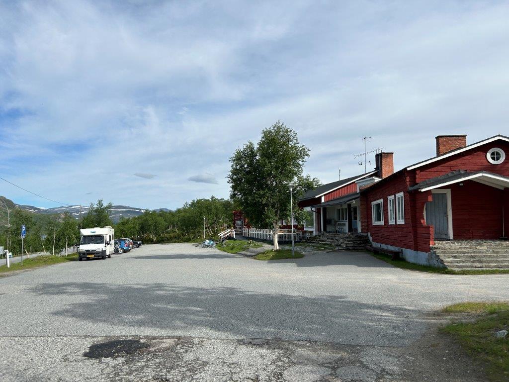
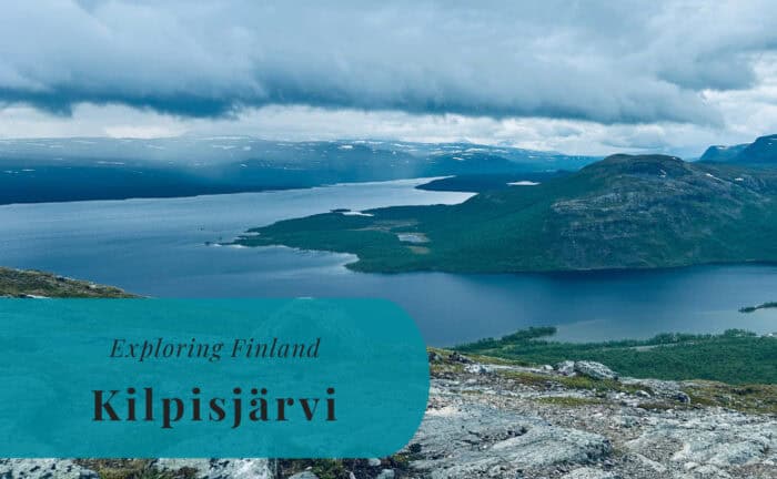
We soon drove across the border and continued north on the Finnish side, towards the settlement of Kilpisjärvi. We arrived in the late afternoon and got a spot at the campsite there. The setting was dramatic. We had the large Lake Kilpisjärvi just below the campsite and the iconic mountain of Saana rising above us. The mountain reaches a height of 1029 meters above the sea, or 556 meters above the lake. It might not be extremely high, but it is not far from Halti at 1316 meters, which is the highest point in Finland.
While Susann’s parents were settling in with the motorhome, Susann and I decided to head out for a little hike. We wanted to see if we were able to climb Saana before the end of the day. We did, however, have a time limit. We needed to be back down before Susann’s mother had her booked time in the campsite’s laundry room. With the midnight sun, there was no risk of it getting dark, but we still had a schedule to keep. The mountain looked inviting, and we were eager for the challenge.

Climbing Mount Saana
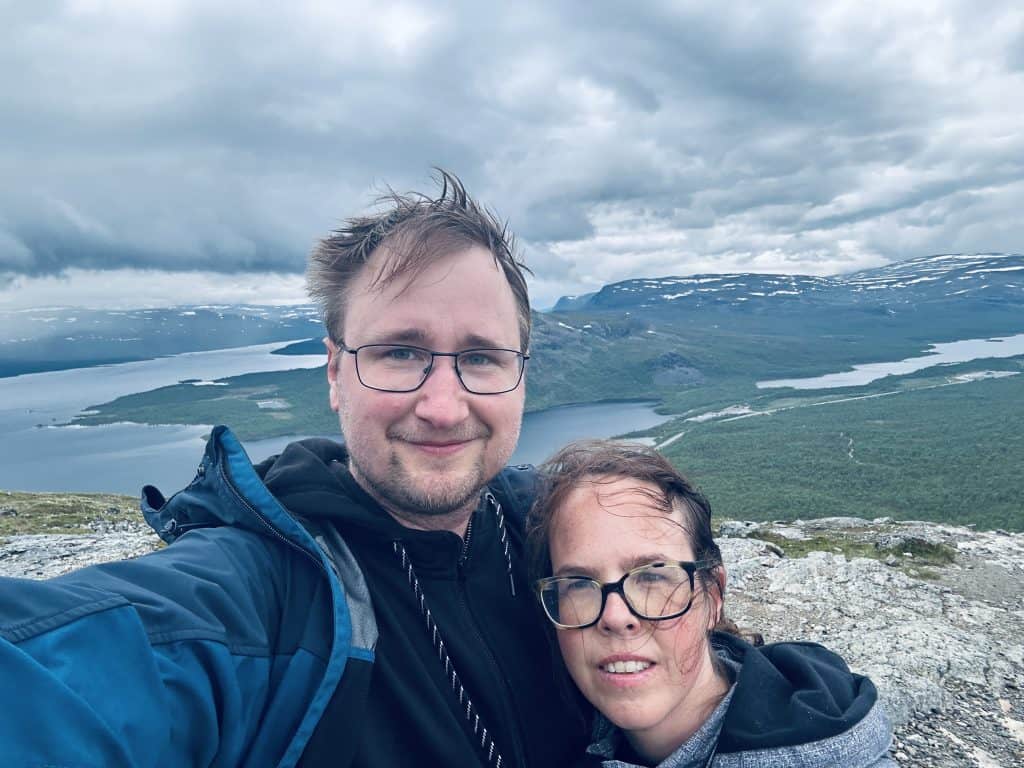
We set off through the low-lying vegetation between the campsite and the mountain. Here we had a very close encounter with a reindeer who did not see any reason to move from our path. It was probably more the reindeer’s path that we were trying to borrow. It was a good and well-marked path up towards the mountain ridge, where it got a bit steeper with long wooden staircases. We did eventually reach quite high, maybe a little bit over halfway to the top of the main plateau.
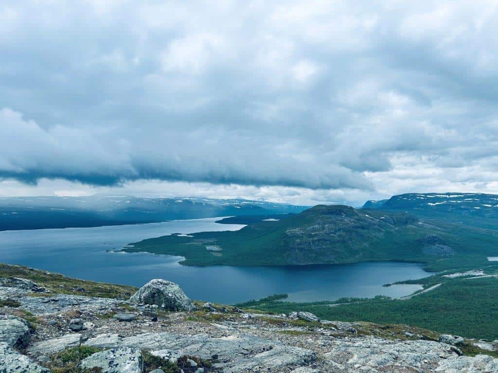
The effort gave us a great view of the lake below and even across to the mountains in Sweden and possibly Norway. We could, however, hear the thunder rumbling in the distance, and the rain clouds were getting closer. It was time to start our descent back towards the campsite. We had only been back in the motorhome for a few minutes before the rain was pouring down. The storm would continue for most of the night, and we just had to hope for better weather in the morning. We still had plans for more adventures in Kilpisjärvi.
Read More About Some of the Visited Places

Want to Read More About This Adventure?