The Northernmost Border Tripoint in the World | Arctic Tour 2024 [5/14]
We have been to border tripoints before. In Schengen, we saw the location from the shores of the Moselle, and we walked around the border tripoint just south of Bratislava where Slovakia, Hungary, and Austria meet. But just to the west of Kilpisjärvi is a tripoint of a completely different character: the northernmost border tripoint in the world. This is where the borders between Finland, Norway, and Sweden meet. As the fifth part of our fourteen-part Arctic Tour, we just had to visit this unique spot. We decided to take the opportunity for this special excursion before continuing our motorhome journey north from Kilpisjärvi.
A border tripoint is a geographical point on the Earth’s surface where the borders of three countries or subnational entities meet. There are over 170 international tripoints in the world. Many of them are located in remote or difficult-to-access terrain, such as on mountain peaks or in the middle of rivers. The one near Kilpisjärvi, officially known as Treriksröset, holds the distinction of being the world’s northernmost international tripoint. Its location in a subarctic lake makes it a unique geographical and political landmark. Visiting such a point offers a direct, tangible experience of how international borders are drawn across the landscape.
Treriksröset
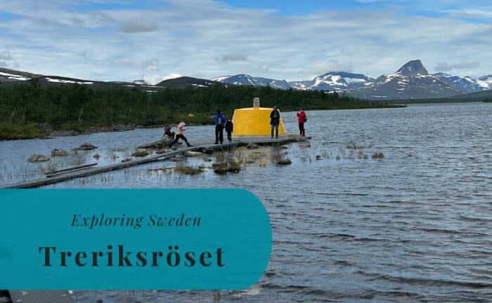
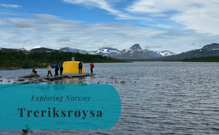
In Sweden, the tripoint is known as Treriksröset, which translates to the Three-Country Cairn. More accurately, the name refers to the three realms or kingdoms. This comes from an earlier time when this was the border between the kingdoms of Norway, Sweden, and the Russian Empire, which controlled Finland. The name has not changed since Finland gained its independence in 1917. The name in Norwegian, Treriksrøysa, is very similar to the Swedish one. Even the Finnish name, Kolmen valtakunnan rajapyykki, is a translation that mentions three kingdoms. And yes, Finland is a republic and has been so since its independence.
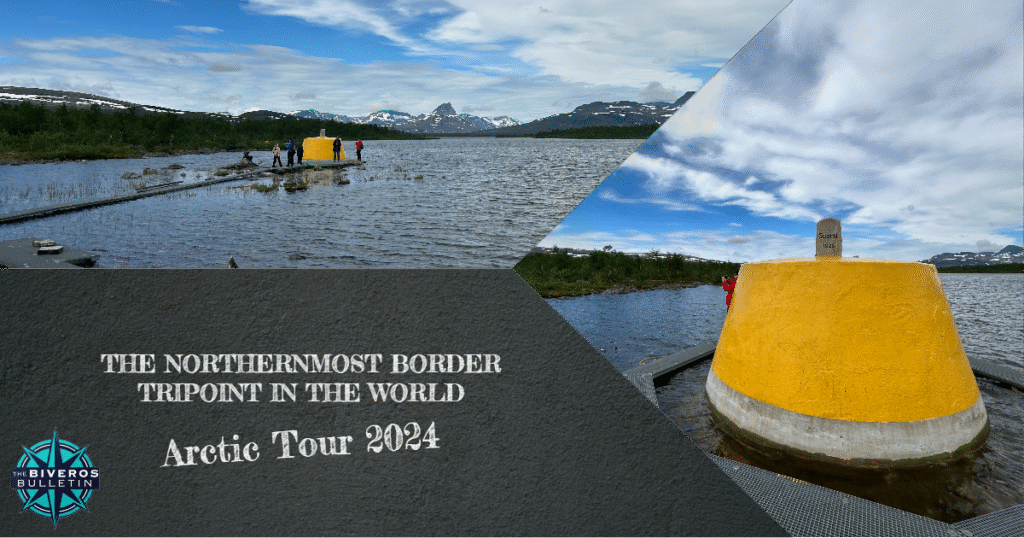
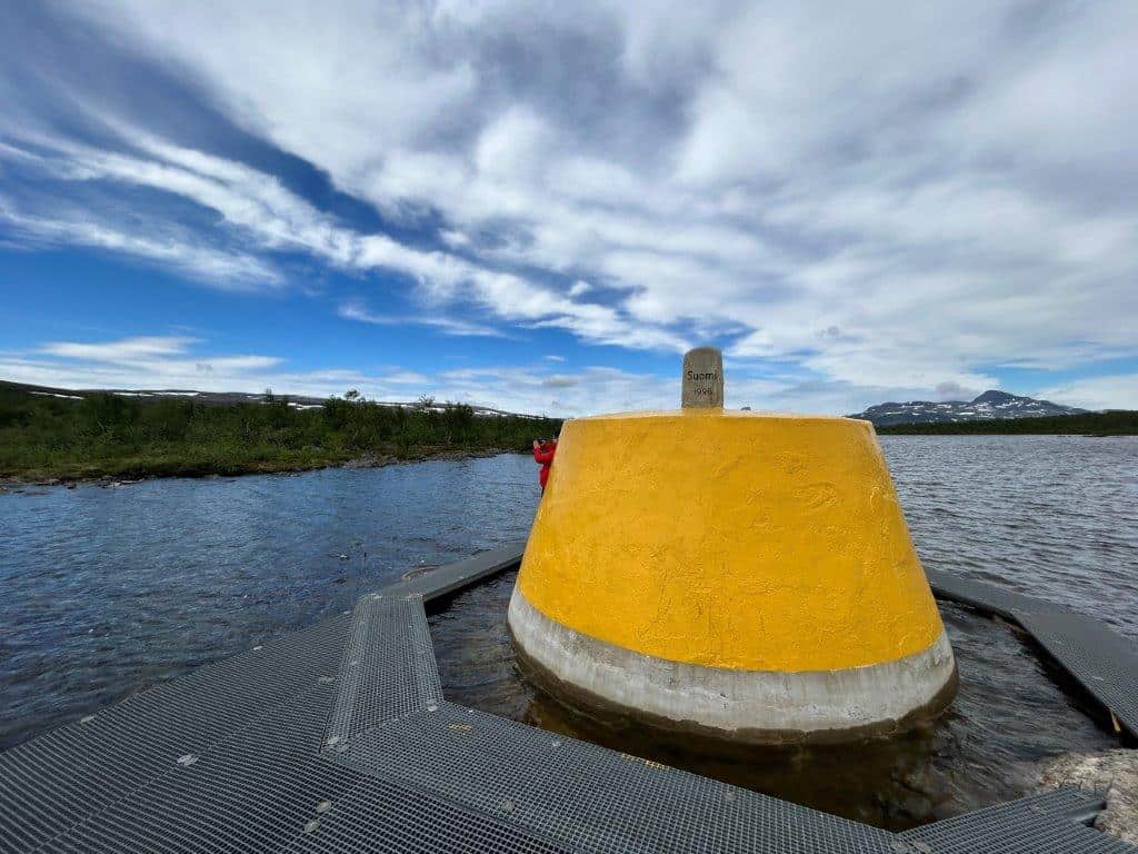
The history of the monument itself dates back to the late 19th century. The border in this remote area was decided by a treaty in the 18th century, but a physical marker was not built until much later. The first cairn was built on the site in 1897 by the governments of Norway and Russia. The Swedish government did not agree on the border commission’s report at the time. The monument was finally completed with the addition of the Swedish stone in 1901. The current marker, a conical concrete cairn painted in yellow, was built in 1926 and is located about 10 meters out in the lake.
Boat Tour from Kilpisjärvi
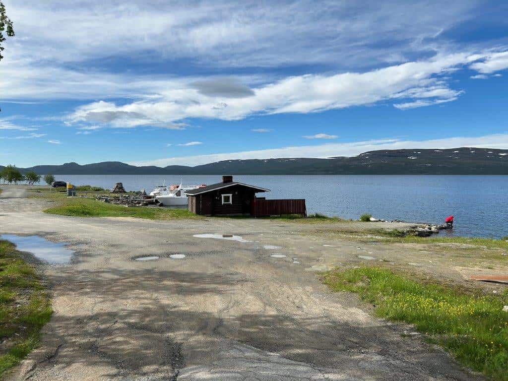
Hiking from Kilpisjärvi to the border tripoint would be a walk of around 11 kilometers one-way through rugged terrain. Bringing Little A with us and having Susann’s parents waiting for our return meant that we did not have the time or possibility for such a long walk. Luckily, there is another option available during the summer months. Twice a day, a small tourist boat leaves Kilpisjärvi and heads to the very small settlement of Koltaluokta on the Swedish side of the lake. The ride across takes around 30 minutes. From Koltaluokta, it is only a hike of around 3 kilometers to the border tripoint.
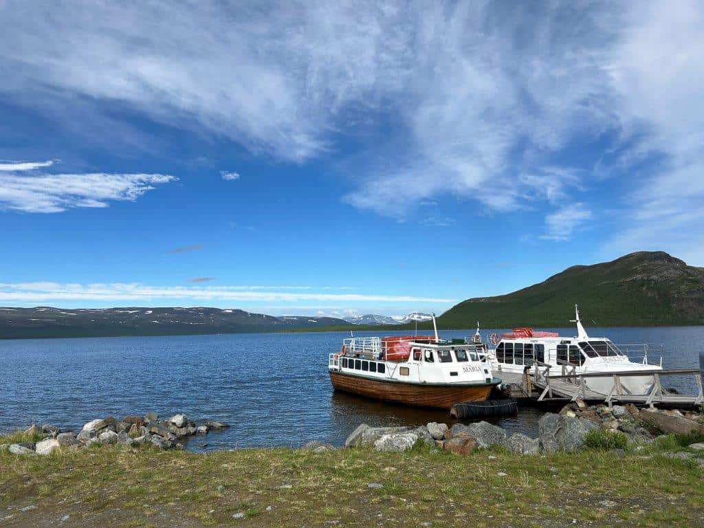
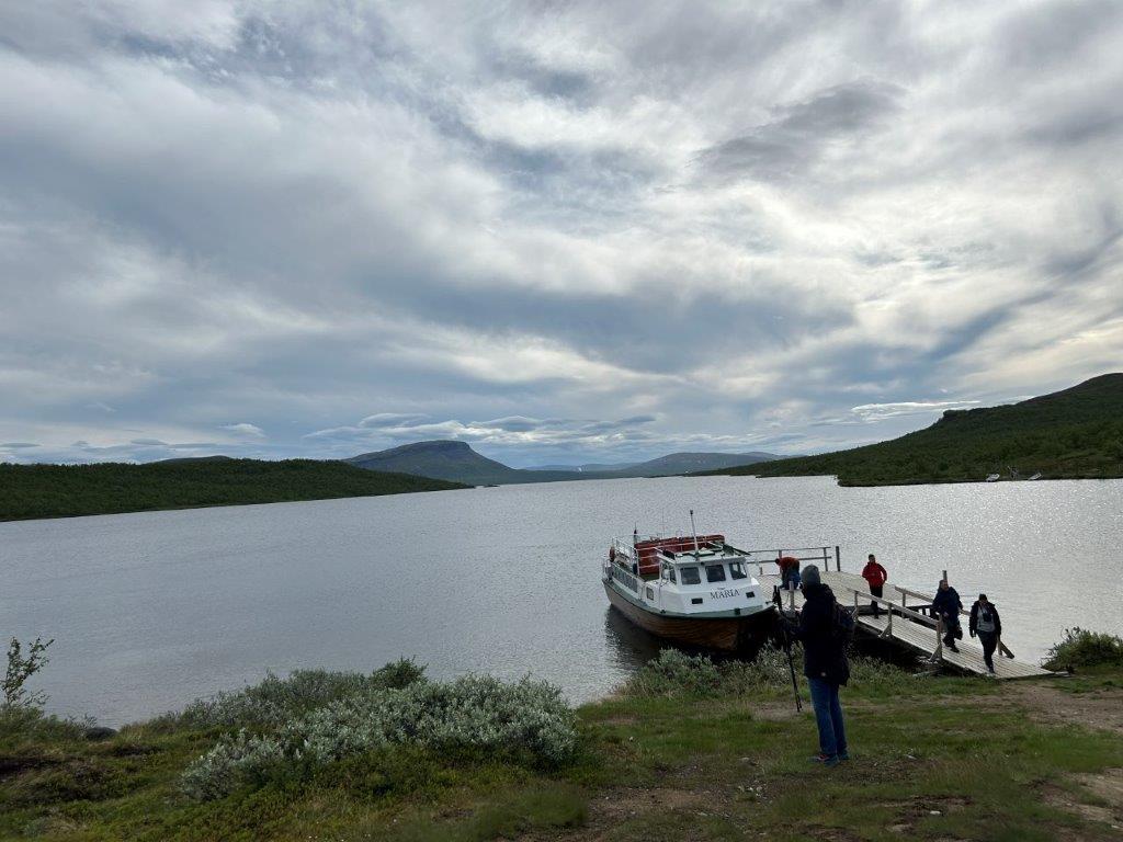
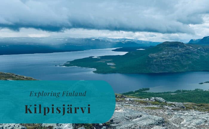
The three of us—Susann, Little A, and I—walked down to the small harbor in the morning to take the 10 a.m. boat across the lake. We were, as usual, quite early and had to wait almost 30 minutes before being able to board the M/S Maria. It is a covered boat, which was fortunate as the air was cold. It still got quite chilly inside due to the low water temperature of the lake. Luckily, it was not a long ride across the deep, clear waters of Lake Kilpisjärvi. The views of the surrounding fells were impressive.
Hiking to the Border Tripoint
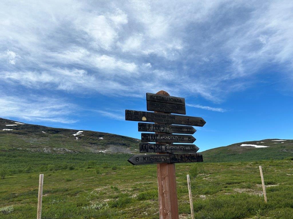
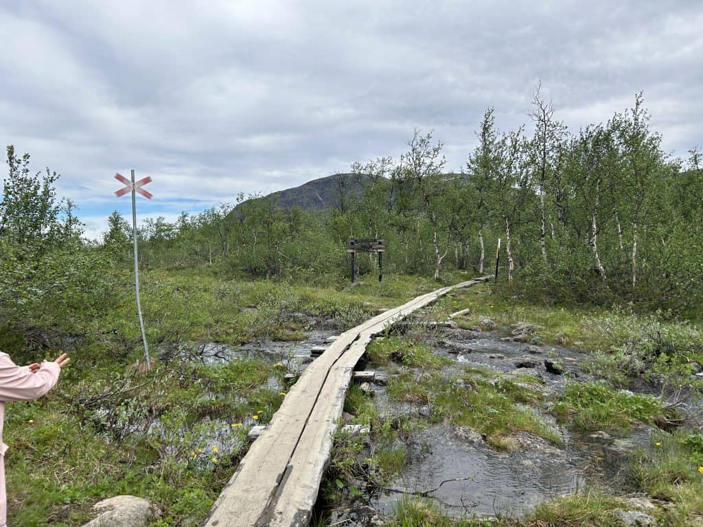
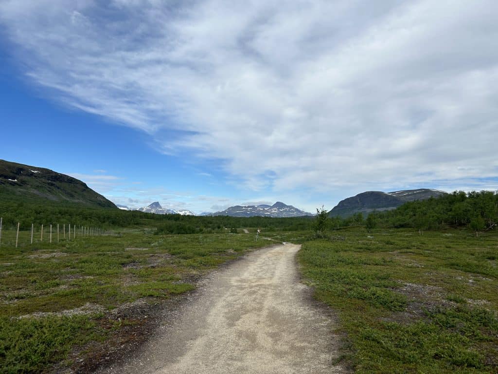
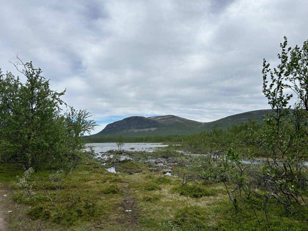
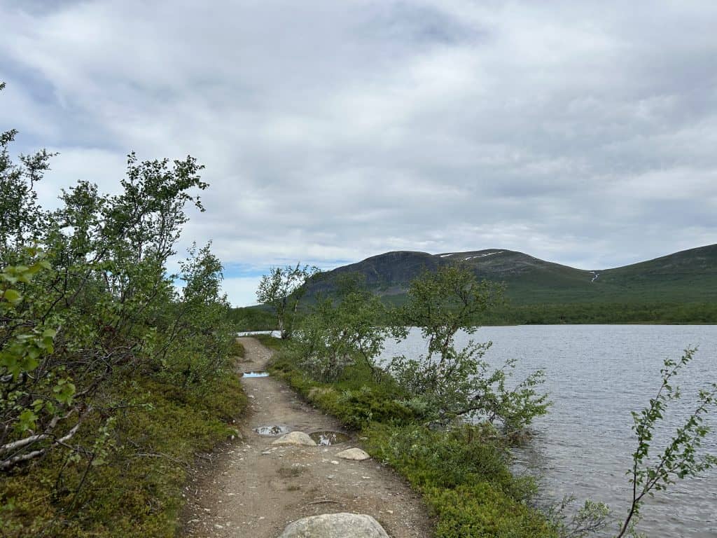
Once we arrived in Koltaluokta, we were told that we had two hours to make the hike to the border tripoint and back. Luckily, we also got a phone number for the boat captain in case we got delayed. We were relieved to find that there was good coverage from the mobile network along the whole path. There is a nice, well-prepared path from the harbor to the tripoint, which makes the walk relatively easy. It had, however, rained a lot during the night, and parts of the path were completely submerged in water.
The many simple wooden bridges and plank paths across the wet parts usually did very little to keep our feet dry. They were equally submerged, and it was often easier to walk beside the path in the muddy terrain. Little A was walking really well on the first leg of our hike. She was talking, singing, and being generally happy. Maybe it was the sun shining and her being able to get out and move around after a long drive the day before. I was, however, really worried that she would slip into one of the muddy spots or fall into one of the puddles, as that would most certainly have changed her mood for the rest of the day.
The Northernmost Border Tripoint
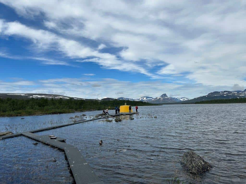
We did eventually reach the shores of Lake Goldajärvi, where the tripoint is located. The border point itself is not on land but is situated a few meters out in the lake. The old stone cairn has been replaced by a yellow, conical concrete block. A wooden circular platform has been built out into the water, making it possible to walk all the way around the tripoint itself. So, within just a few seconds, it is possible to visit all three of Finland, Norway, and Sweden. This was something Little A found especially fascinating, as she ran in a circle, shouting out the name of each country as she entered it.
No, the sight itself might not be the most beautiful or spectacular. It is the knowledge that this is an extreme point of these Nordic Countries that makes it so special. This is not only the northernmost border tripoint in the world; it is also the northernmost point in Sweden. We had already visited Smygehuk, the southernmost point of Sweden, earlier in the year, so this felt like a significant milestone. The border tripoint also marks the westernmost point of mainland Finland.
Returning to the Boat
The hike returning to the boat was a bit more troublesome than the walk out. Little A found it less fascinating to walk back the same way she had just come, and she did soon get tired of walking. It did also seem to be the case that the number of mosquitoes had increased significantly since we first arrived. The warmth of the late morning sun had woken them up. We did not really want to stop anywhere along the path for a break because of them.
Luckily, we got back to the boat with just a few minutes to spare of our allotted two hours. This makes it possible to do this trip with kids, but the two hours do not provide much margin for delays or long breaks. So after running to the toilet before departing, we were soon on our way back across the lake to Kilpisjärvi. It was time to get back to the motorhome, have some lunch, and continue our adventure even further north into Norway. We were leaving Finland behind for now.
Read More About Some of the Visited Places


Want to Read More About This Adventure?