Last Preparations for the Far North | Arctic Tour 2024 [3/14]
We set off from the large campsite in Kalajoki around lunchtime on our third day. Our main objective for the day was to continue north. We were holding out hope of reaching the Arctic Circle by the evening. Our adventure had already taken us through the southern part of Finland. After two days on the road, we still had many more kilometers to cover before reaching the border with Norway in the north. The five of us traveling in the motorhome were still excited about what was to come. Traveling with Susann’s parents had so far been without any conflicts, perhaps due to two nights with plenty of sleep. This is the third of fourteen posts about our great Nordic adventure.
Our journey on this day would take us along the coast of the Gulf of Bothnia. This is the northernmost arm of the Baltic Sea, situated between Finland’s west coast and Sweden’s east coast. The gulf is characterized by its low salinity, which allows its northernmost parts to freeze over during the winter. The coastline is generally flat and is marked by the geological phenomenon of post-glacial rebound, where the land is still slowly rising. This creates a landscape of shallow bays, extensive archipelagos, and river estuaries. The region is home to many historically significant port towns in both Finland and Sweden.
Lunch Break in Raahe
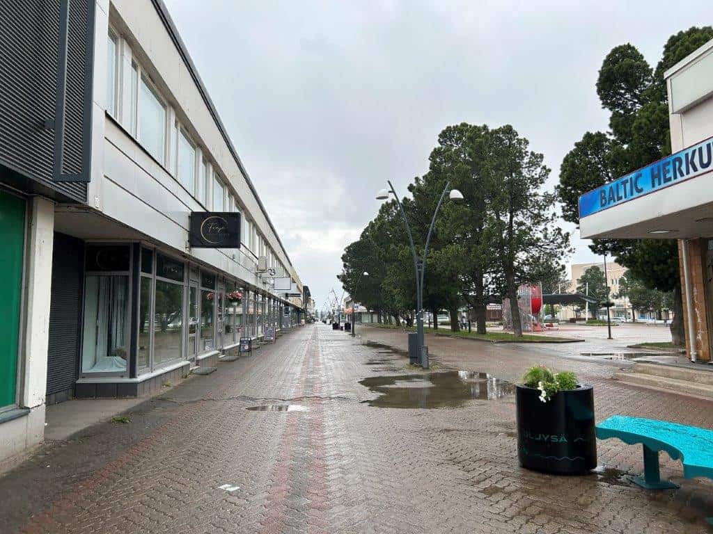
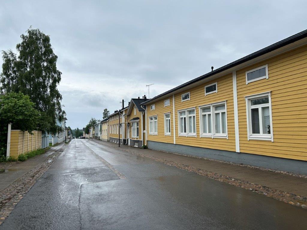
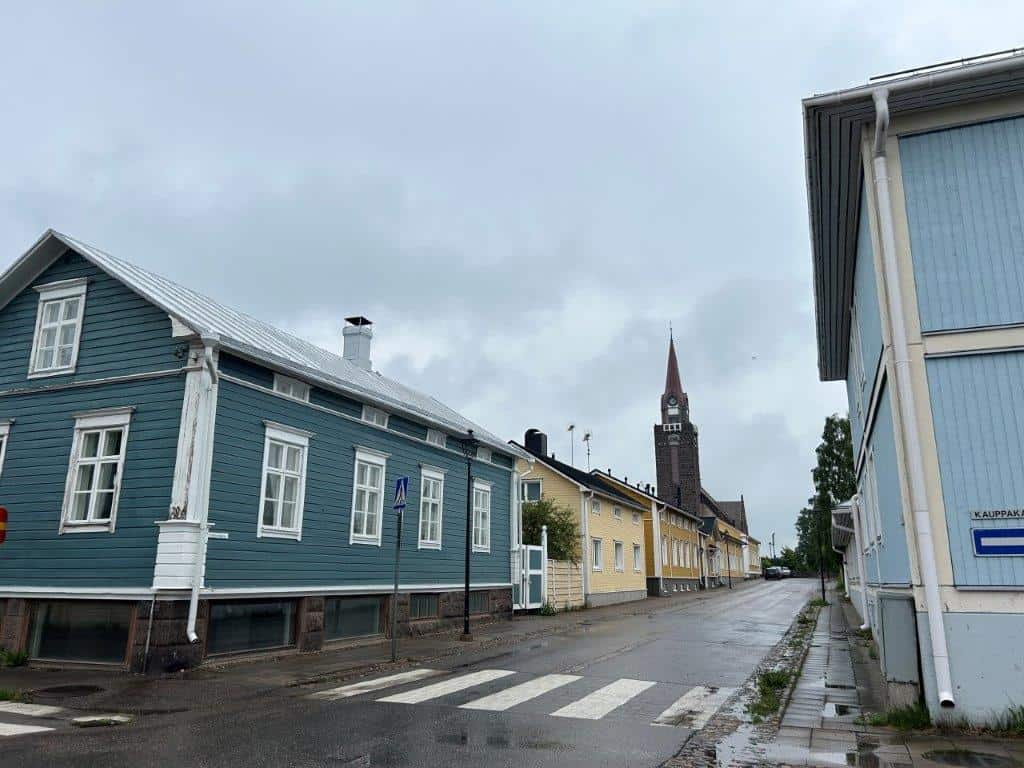
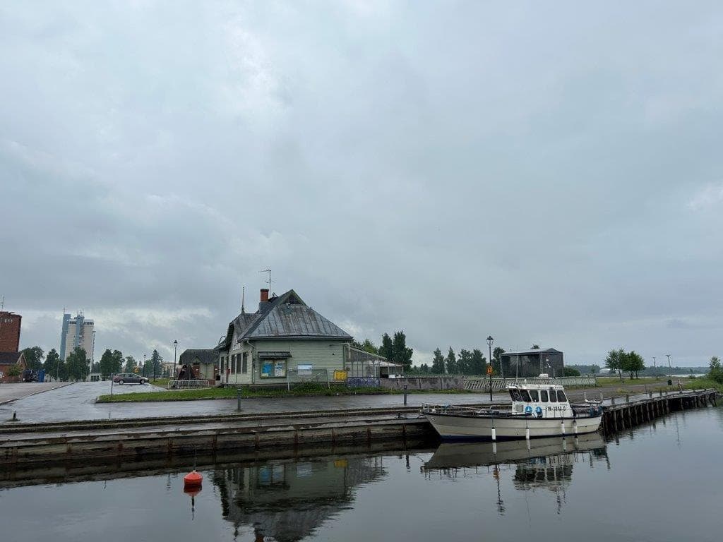
Due to our late departure from Kalajoki, we only drove for about 60 kilometers before making our first stop of the day. We were trying to keep a good schedule for Little A regarding lunch and dinner times. This meant that we only reached the town of Raahe, or Brahestad as it is known in Swedish, before it was time for our midday meal. While Little A got her food in the motorhome, I set off for a walk around the town. This was yet another Finnish town that I had never visited before, one that I had only seen on maps prior to this.
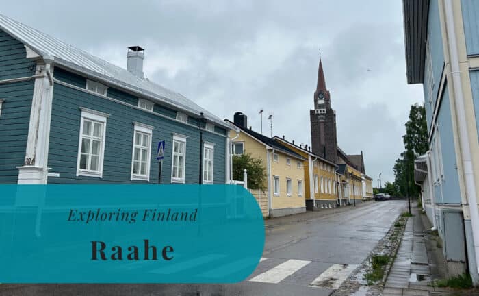
A light rain was falling as I walked along the small streets of Vanha Raahe, or Old Raahe. The streets were mostly lined by small, colorful wooden houses. This gave the area a pleasant atmosphere and made the town feel much smaller than it is. My walk did eventually take me down to the waterfront. I was able to enjoy the view of the sea before it was time to meet up with my travel companions again. The rain had at that time finally stopped. It was a short but nice introduction to a new place.


Ice Cream in a Rainy Kemi
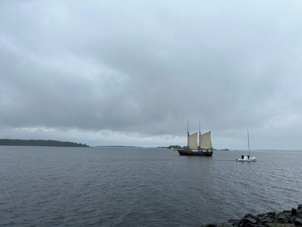
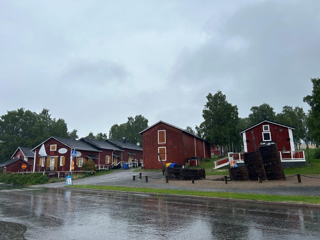
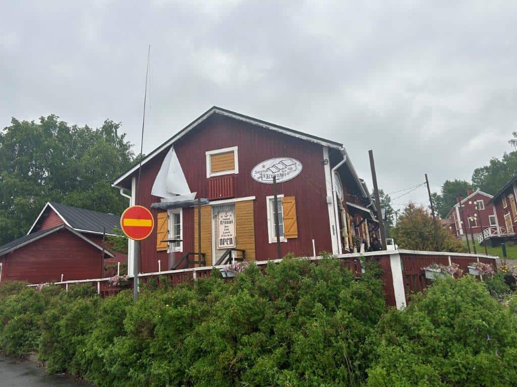
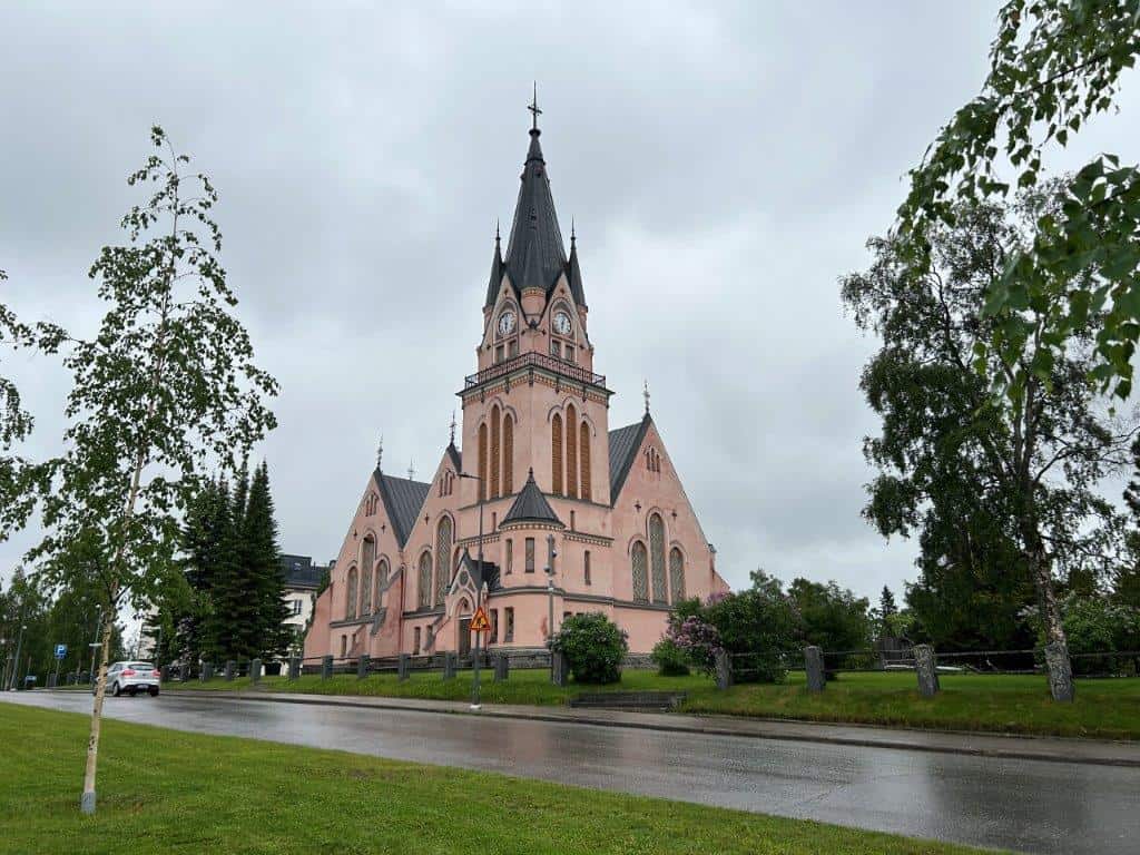
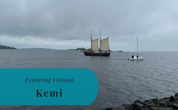
We continued north along the Finnish coast, and it seems the rain did as well. We drove past Oulu, a city where we had our lunch stop during our Nordic adventure two years ago, but this time our target was set on the town of Kemi. Susann had heard that they had great ice cream in the town, and we were going to find out if that was the case. This might have been easier if the sun was shining. Now the rain was falling as we walked through the center of Kemi towards the waterfront. Unsurprisingly, most of the ice cream kiosks were also closed.
We did eventually find a small cafe at the waterfront where we could get some ice cream. Maybe it was not the best ice cream we have ever had. When you are already wet from the rain, an ice cream might not be the easiest thing to enjoy. It was, however, a nice break from the long drive. Kemi itself seemed like a town dominated by its industry, with large factory buildings visible near the coast. We soon got back in the motorhome to continue our journey.


Refilling of Supplies in Tornio and Happaranda
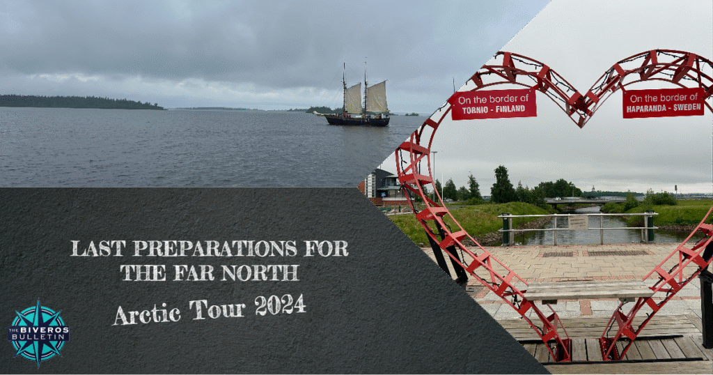
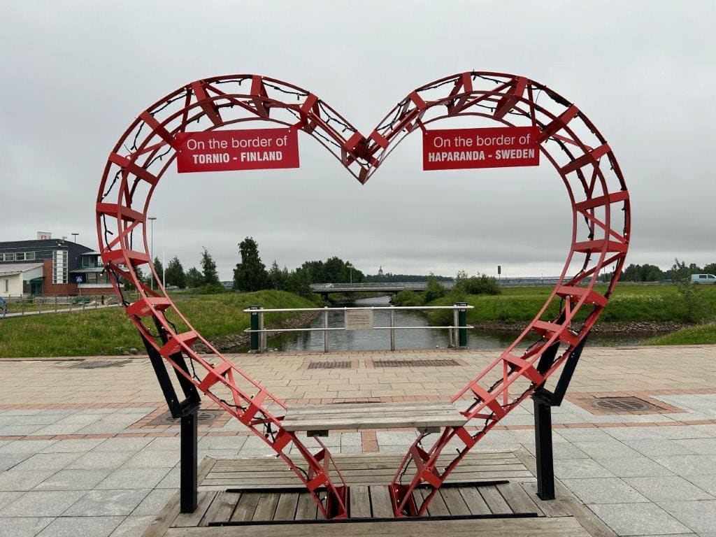
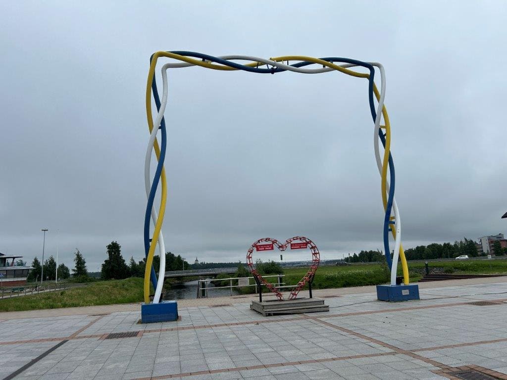
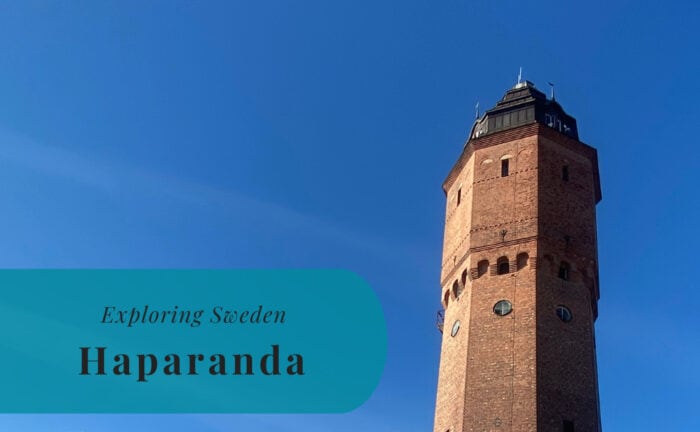
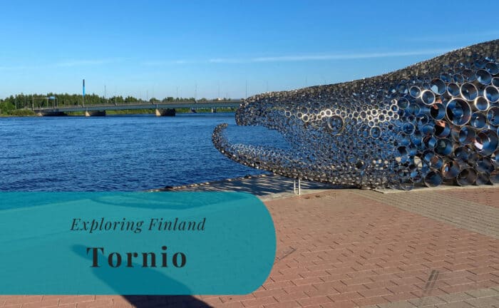
From Kemi, it was just a short drive left before we reached the border towns of Tornio and Haparanda. This was another place we had visited on our 2022 trip, when we walked plenty of times across the border between Finland and Sweden. This time, however, we only crossed the border once to do some shopping before returning to Finland. The funny thing here is that we actually went to grocery stores on both sides of the border. Susann’s mother prefers the stores in Finland and wanted to get a last proper visit in before we continued north.
For my part, I consider many essential supplies to be a lot cheaper in Sweden. So, we purchased the things each of us preferred on different sides of the border. It is a unique experience to be able to compare prices in two different countries within just a few minutes. The twin cities of Haparanda and Tornio are a great example of cross-border cooperation and daily life. It was also on a parking lot on the Swedish side of the border that we cooked our dinner. We had our evening meal here before continuing north again.
Driving North Through the Torne Valley
We had decided to drive north on the Swedish side of the Torne River. We knew there was a bigger and better road on the Finnish side. I did, however, want to see some of the more remote parts of Sweden that I so far had only heard about. It is not like you travel to places like Pajala or Karesuando every day. This was a chance to see a part of our own country that is far from our home in the south.
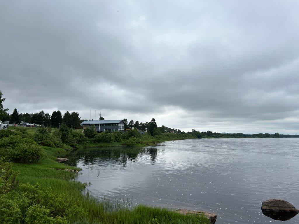
The road north in Sweden was indeed a bad choice from a comfort perspective. It was in a horrible condition in many places. We had a quite bumpy ride as we drove onward through the dense forests. The landscape was beautiful, but the constant shaking made it hard to fully enjoy. After a few hours, we decided it was time to find a place to stop for the night. We did eventually decide to cross back into Finland to find a better road. But before that, we found a perfect spot to camp right on the Swedish side of the river.
An Evening at the Arctic Circle
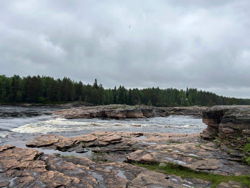
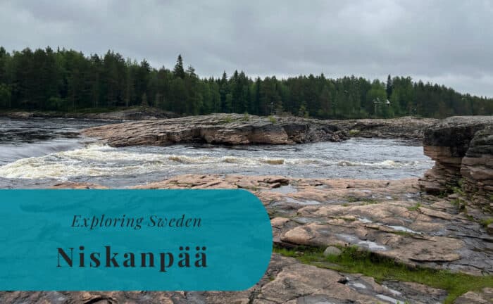
We stopped for the night just south of the Arctic Circle. We found a beautiful spot along the Torne River in a place called Niskanpää, at the rapids of Kattilakoski. The sound of the rushing water was a peaceful backdrop for our evening. It was clear that this was a remote location. It was going to be just us and a lot of mosquitoes here for the night. The light was still bright, even late in the evening, a clear sign that we were getting further north.
The Arctic Circle is a line of latitude located at approximately 66.5 degrees north. It marks the southernmost latitude in the Northern Hemisphere at which the center of the sun can remain continuously above the horizon for 24 hours on the summer solstice. This phenomenon is known as the midnight sun. Conversely, it is also the northernmost latitude at which the center of the sun can remain continuously below the horizon for 24 hours on the winter solstice, known as the polar night. This geographical line is a key marker for entering the Arctic region. It has a significant impact on the climate and the natural environment.
Read More About Some of the Visited Places

Want to Read More About This Adventure?