Svalsta, Södermanland | Exploring Sweden
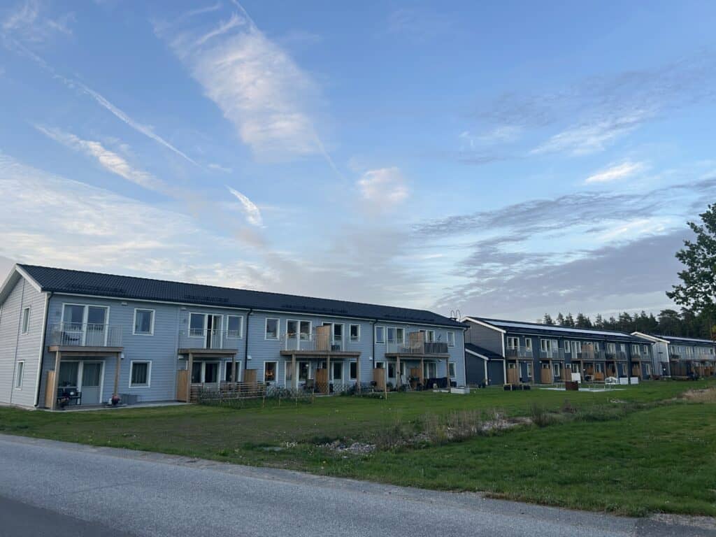
Svalsta is a residential locality in the province of Södermanland. It is a part of Nyköping Municipality and is located approximately 5 kilometers west of the city of Nyköping. The locality, or tätort, was primarily developed in the latter half of the 20th century on what was once agricultural land belonging to the historical Helgona parish. The surrounding landscape consists of forests and open fields. The community itself is composed mainly of single-family homes and terraced houses, arranged along planned residential streets with numerous green spaces.
The primary function of Svalsta today is that of a commuter town. Many of its residents work in the greater Nyköping area and travel to the city for employment and commercial services. While it does not have a large commercial center, Svalsta has its own essential services, including a school and preschools, that support the community’s daily life. This allows residents to live in a quiet, planned community while having convenient access to the larger city of Nyköping.

History of Svalsta
The history of the locality of Svalsta is relatively recent, dating back to the major suburban expansion periods of the 20th century. Before this development, the area was a rural landscape of farms and forests within the historical Helgona parish. The growth of Nyköping as a regional center created a demand for new housing, and the land where Svalsta now stands was designated for development. The creation of Svalsta is therefore typical of Sweden’s suburban growth during this period.
The Agricultural Landscape
For centuries, the land that is now Svalsta was an integral part of the rural landscape west of Nyköping. It belonged to the historical Helgona parish, an area with deep roots and a history stretching back to the medieval period. The land was primarily used for agriculture and was dotted with farms and crofts. The name “Svalsta” itself is an old one, originally referring to one of these historical farms. Life in the area followed the rhythms of agriculture for hundreds of years, with the nearby city of Nyköping serving as the main market town.
The Post-War Expansion
The pivotal period in the creation of Svalsta was the second half of the 20th century. During the post-war decades, Sweden experienced significant economic growth and urbanization, which led to a housing shortage in many cities, including Nyköping. To meet this demand, municipalities began planning and constructing large new residential areas on their outskirts. Svalsta was developed during this era, particularly from the 1970s onwards. Planners laid out new streets and residential plots on the former farmland, creating a structured suburb from scratch.
Svalsta in the 21st Century
Today, Svalsta is an established residential community. The development that began in the 20th century has continued, with new homes being added over the years to accommodate a growing population. It has become one of Nyköping’s larger suburban localities, known for its family-friendly environment. The community is now a well-integrated part of the greater Nyköping urban area, while still retaining its distinct character as a suburb surrounded by nature.



Sights at Svalsta
As a residential suburb, the sights in Svalsta are its community landmarks and recreational spaces rather than historical monuments. Exploring the locality provides a look into the structure and daily life of a planned Swedish community. The points of interest are the functional hubs that serve the residents, such as the local school and the network of green spaces and paths that are integral to the town’s design.
Svalsta School
Svalsta School (Svalstaskolan) is a central landmark and a primary hub of community life in the locality. Serving children in the primary and middle school years, the school is more than just an educational institution. Its buildings and extensive grounds, including playgrounds and sports fields, are a focal point for the community’s families. The school often serves as a venue for local events and is a key part of the social infrastructure of the suburb.
The Central Green Areas
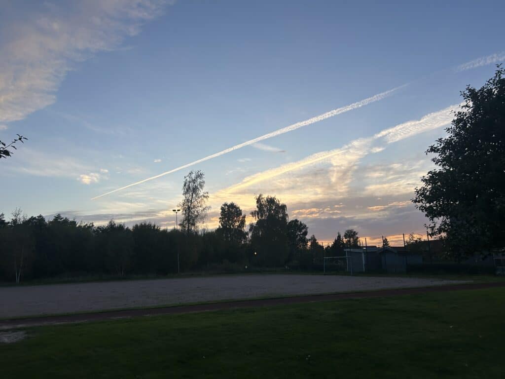
A key part of Svalsta’s design is the network of public green spaces, parks, and natural forest areas woven into the residential neighborhoods. These areas are not a single park but a system of connected green corridors and small woods. They are equipped with walking and cycling paths, making them safe and accessible for recreation. These green spaces provide residents with immediate access to nature right outside their homes and are used daily for dog walking, jogging, and as play areas for children.
Walking and Cycling Paths
The network of walking and cycling paths (gång- och cykelvägar) is a significant part of Svalsta’s infrastructure. As a planned community, it was designed with a strong emphasis on safe and convenient routes for pedestrians and cyclists. These paths connect the different residential areas with the school and the local store. This allows residents, especially children, to move around the locality without relying on main roads. The network provides safe routes for families and encourages an active lifestyle.
How to Get to Svalsta?
Reaching Svalsta is very straightforward due to its close proximity to the city of Nyköping, a major transport hub. The locality is situated just a few kilometers from the E4 motorway and is also located very near Stockholm Skavsta Airport. This makes it easily accessible for both domestic and international travelers. The journey to Svalsta almost always involves passing through Nyköping, from where the final part of the journey is a short trip by car or local bus.
Most visitors traveling to Svalsta will first arrive in Nyköping. The city is well-connected by train, bus, and air. From the Nyköping travel center (resecentrum), which includes both the train and bus stations, frequent local buses make the short journey west to Svalsta. For those driving, the turn-off from the E4 motorway is just a few minutes away from the locality. This ease of access makes Svalsta a convenient destination for anyone traveling to or through the Södermanland region.
Driving to Svalsta
The most direct way to get to Svalsta is by car. The locality is located just west of the E4 motorway. Travelers should take exit 132 (Nyköping V) and follow local roads westward for approximately 5 kilometers. The route is well-signposted through the city’s western districts. From central Stockholm, the total driving time is just over one hour. A car is the most flexible option and provides easy access to the entire region upon arrival.
Traveling to Svalsta by Train
The closest train station to Svalsta is Nyköping Central Station. The station is located on the main line and has regular train services connecting it with Stockholm, Norrköping, and Linköping. From Stockholm, the train journey to Nyköping takes about one hour. Upon arrival at Nyköping station, travelers can take a local bus from the adjacent bus terminal for the final 15-20 minute journey to Svalsta. The buses are timed to connect with arriving and departing trains.
Flights and Airports
Svalsta is located very close to Stockholm Skavsta Airport (NYO), which is one of Sweden’s main hubs for low-cost airlines. The airport is only about a 10-minute drive from Svalsta, making it an exceptionally convenient gateway for international visitors. Airport buses connect the airport with Nyköping’s central bus station, from where one can transfer to a local bus to Svalsta. The main international airport, Stockholm Arlanda (ARN), is about a two-hour drive or train journey away.
Reaching Svalsta by Bus
Long-distance bus companies like Flixbus operate routes to Nyköping from many cities in Sweden, including Stockholm, Gothenburg, and Malmö. These buses arrive at the Nyköping bus terminal, which is located next to the train station. From there, it is a simple transfer to the local bus service operated by Sörmlandstrafiken for the final short journey to Svalsta. This combination of long-distance and local bus is often the most budget-friendly travel option.
Cycling to Svalsta from Nyköping
It is also possible to reach Svalsta from Nyköping by bicycle. A dedicated and safe cycle path runs westward from the city center to the locality. The distance of approximately 5 kilometers makes it an easy and pleasant ride that takes about 15-20 minutes. This is a popular option for local commuters and for recreational cyclists looking to explore the countryside just outside the city.
Driving Distances
The driving distance from 20 regional cities, according to Google Maps:
- Nyköping, Sweden – 5 kilometers (0 h 10 min)
- Oxelösund, Sweden – 18 kilometers (0 h 20 min)
- Katrineholm, Sweden – 56 kilometers (0 h 50 min)
- Norrköping, Sweden – 60 kilometers (0 h 45 min)
- Södertälje, Sweden – 70 kilometers (0 h 45 min)
- Eskilstuna, Sweden – 85 kilometers (1 h 15 min)
- Linköping, Sweden – 102 kilometers (1 h 15 min)
- Stockholm, Sweden – 105 kilometers (1 h 15 min)
- Västerås, Sweden – 132 kilometers (1 h 45 min)
- Örebro, Sweden – 151 kilometers (1 h 55 min)
- Uppsala, Sweden – 175 kilometers (2 h 0 min)
- Jönköping, Sweden – 251 kilometers (2 h 45 min)
- Gävle, Sweden – 281 kilometers (3 h 0 min)
- Kalmar, Sweden – 291 kilometers (3 h 30 min)
- Växjö, Sweden – 315 kilometers (3 h 35 min)
- Gothenburg, Sweden – 386 kilometers (4 h 10 min)
- Oslo, Norway – 400 kilometers (4 h 40 min)
- Helsingborg, Sweden – 478 kilometers (4 h 55 min)
- Malmö, Sweden – 529 kilometers (5 h 25 min)
- Copenhagen, Denmark – 571 kilometers (6 h 5 min)
Explore More of Södermanland and Sweden