Mirador Altos de Baracán, Tenerife | Exploring Spain
Mirador Altos de Baracán is a scenic viewpoint located in the Teno Rural Park, on the island of Tenerife. A “mirador” is a purpose-built lookout point, usually situated at a high elevation to offer expansive views of the surrounding landscape. This mirador is located on the main TF-436 road that connects the towns of Buenavista del Norte and Santiago del Teide. It is not a town but a popular stopping point on one of the most spectacular mountain roads on the island.
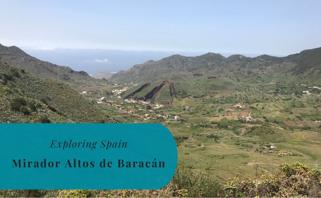
The identity of the Mirador Altos de Baracán is that of a “climatic border.” The viewpoint sits on the summit of the Baracán mountain pass, at an altitude of approximately 1,000 meters. This is the point where the humid, green, and often misty climate of the north of the island meets the dry, sunny, and arid climate of the south. From the viewpoint, you can often see this dramatic weather division, with clouds on one side and clear skies on the other. This unique location makes it a fascinating and very popular spot for photographers and nature lovers.

History of Mirador Altos de Baracán
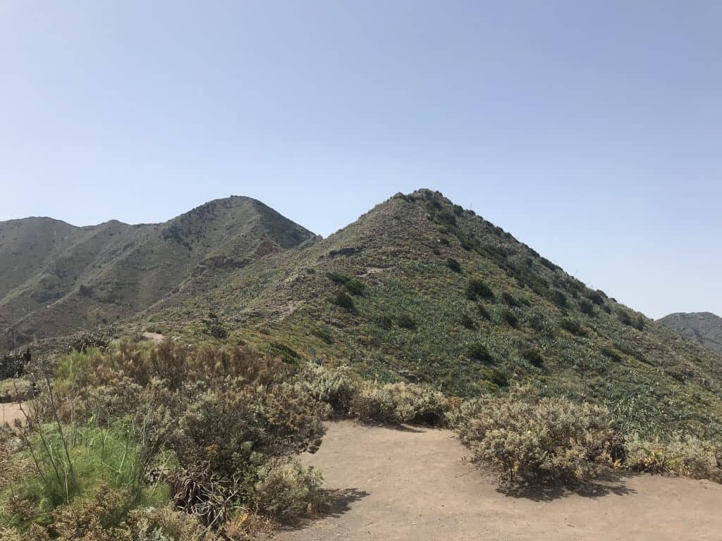
The history of the Mirador Altos de Baracán is tied to the history of the spectacular mountain road on which it is located. For centuries, the magnificent Teno Mountains were a very remote and isolated part of the island, accessible only by rough donkey tracks. The construction of the modern TF-436 road in the 20th century was a major feat of engineering. This road opened up this wild and beautiful region to the rest of the island, and viewpoints like the Mirador Altos de Baracán were created to allow travelers to safely stop and admire the incredible scenery.
The Ancient Teno Massif
The Teno Mountains are one of the three ancient volcanic massifs that form the island of Tenerife. The mountains were formed by volcanic activity several million years ago, making this one of the oldest parts of the island. For centuries, the deep ravines and steep mountains of Teno were home to a small and isolated population that lived a traditional agricultural lifestyle. The area was so remote that it was one of the last strongholds of the aboriginal Guanche people.
The Road to Masca
The construction of the TF-436 road, which is often called the “road to Masca,” was a major project that transformed the region. The road is famous for being one of the most winding and spectacular in all of Spain. It has dozens of hairpin turns and offers breathtaking views at every corner. The Mirador Altos de Baracán was established at the highest point of this road, the Baracán pass. It quickly became a classic and essential stopping point for anyone making this famous scenic drive.
Sights at Mirador Altos de Baracán
The sight at the Mirador Altos de Baracán is the magnificent and often dramatic panoramic view that it offers. The viewpoint is the main and only attraction at this specific location. A visit is centered on the experience of standing at the lookout point and admiring the spectacular and contrasting landscapes of the Teno Rural Park. The view is the primary reason for the mirador’s existence and its popularity among both tourists and locals.
The Panoramic View
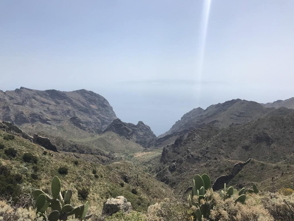
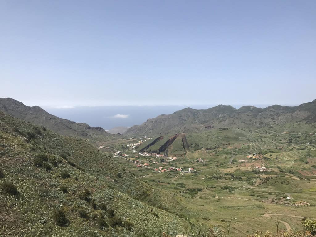
The main reason to visit the mirador is for the magnificent panoramic view. The viewpoint offers a 360-degree vista of the surrounding mountains and valleys of the Teno Rural Park. To the north, you can often see the green and misty Palmar Valley. To the south, you can look down into the deep and arid Masca Gorge. The viewpoint is particularly famous for its dramatic weather conditions, and it is very common to be standing in the sunshine while watching a thick sea of clouds fill the valley on the northern side.
The Teno Mountains
The mirador is located in the heart of the Teno Rural Park, and the surrounding landscape is a major sight in itself. The Teno Mountains are a wild and rugged landscape of deep ravines, sharp volcanic peaks, and dramatic cliffs. The area is a haven for biodiversity, and it is home to many unique and endemic species of plants and animals. The spectacular natural beauty of the Teno massif is one of the great treasures of Tenerife.
How to Get to Mirador Altos de Baracán?
The Mirador Altos de Baracán is a single viewpoint that is explored on foot. To reach the mirador, which is located in a remote and mountainous part of the island, a car is by far the most convenient option. The public bus system also provides a limited service that passes by the site. The winding mountain roads of the Teno Rural Park require careful driving.
Navigating by Car
A car provides the most flexibility for visiting the Mirador Altos de Baracán and for exploring the magnificent scenery of the Teno Rural Park. Having your own vehicle allows you to drive the spectacular mountain road to Masca and to stop at the many other viewpoints along the way. The TF-436 road is very narrow and has many hairpin turns, so it requires confidence and careful driving. There is a small public parking area located directly at the Mirador Altos de Baracán.
Using Local Buses
The public bus system on Tenerife is operated by the company TITSA. There is a bus route (the 355) that connects the town of Buenavista del Norte with the village of Masca. This bus passes directly by the Mirador Altos de Baracán. However, the service is very infrequent, with usually only two or three buses per day. It is essential to check the current timetable in advance if you plan to rely on public transport.
Arriving by Air
The island of Tenerife has two international airports. Tenerife South Airport (TFS) is the larger of the two, and the drive from here to the mirador takes about one and a half hours. Tenerife North Airport (TFN) is located closer, and the drive from here takes about one hour and fifteen minutes. From either airport, the easiest way to reach the area is to rent a car.
Driving Distances
The driving distance from 20 regional cities, according to Google Maps:
- Masca, Tenerife – 5 kilometers (0 h 10 min)
- Santiago del Teide, Tenerife – 10 kilometers (0 h 20 min)
- Buenavista del Norte, Tenerife – 15 kilometers (0 h 25 min)
- Los Gigantes, Tenerife – 18 kilometers (0 h 30 min)
- Garachico, Tenerife – 20 kilometers (0 h 35 min)
- Guía de Isora, Tenerife – 25 kilometers (0 h 35 min)
- Icod de los Vinos, Tenerife – 28 kilometers (0 h 45 min)
- Adeje, Tenerife – 35 kilometers (0 h 45 min)
- Costa Adeje, Tenerife – 40 kilometers (0 h 50 min)
- Los Cristianos, Tenerife – 40 kilometers (0 h 50 min)
- Playa de las Américas, Tenerife – 41 kilometers (0 h 50 min)
- Puerto de la Cruz, Tenerife – 45 kilometers (1 h 00 min)
- Vilaflor, Tenerife – 45 kilometers (1 h 00 min)
- La Orotava, Tenerife – 48 kilometers (1 h 05 min)
- Tenerife South Airport (TFS) – 55 kilometers (1 h 00 min)
- Granadilla de Abona, Tenerife – 60 kilometers (1 h 10 min)
- El Médano, Tenerife – 60 kilometers (1 h 05 min)
- Tenerife North Airport (TFN) – 70 kilometers (1 h 15 min)
- San Cristóbal de La Laguna, Tenerife – 70 kilometers (1 h 15 min)
- Santa Cruz de Tenerife, Tenerife – 78 kilometers (1 h 25 min)
Looking to Explore more of Spain and Europe?