Benicalap, Valencia | Exploring Spain
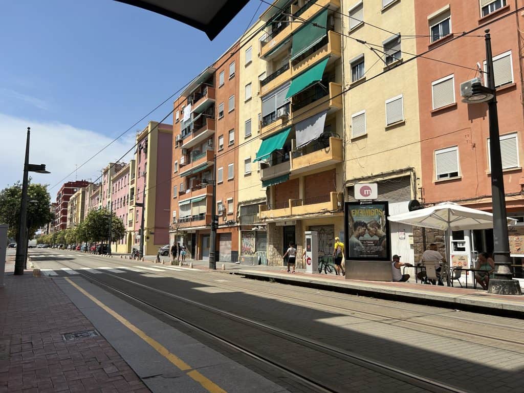
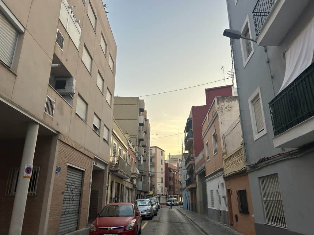
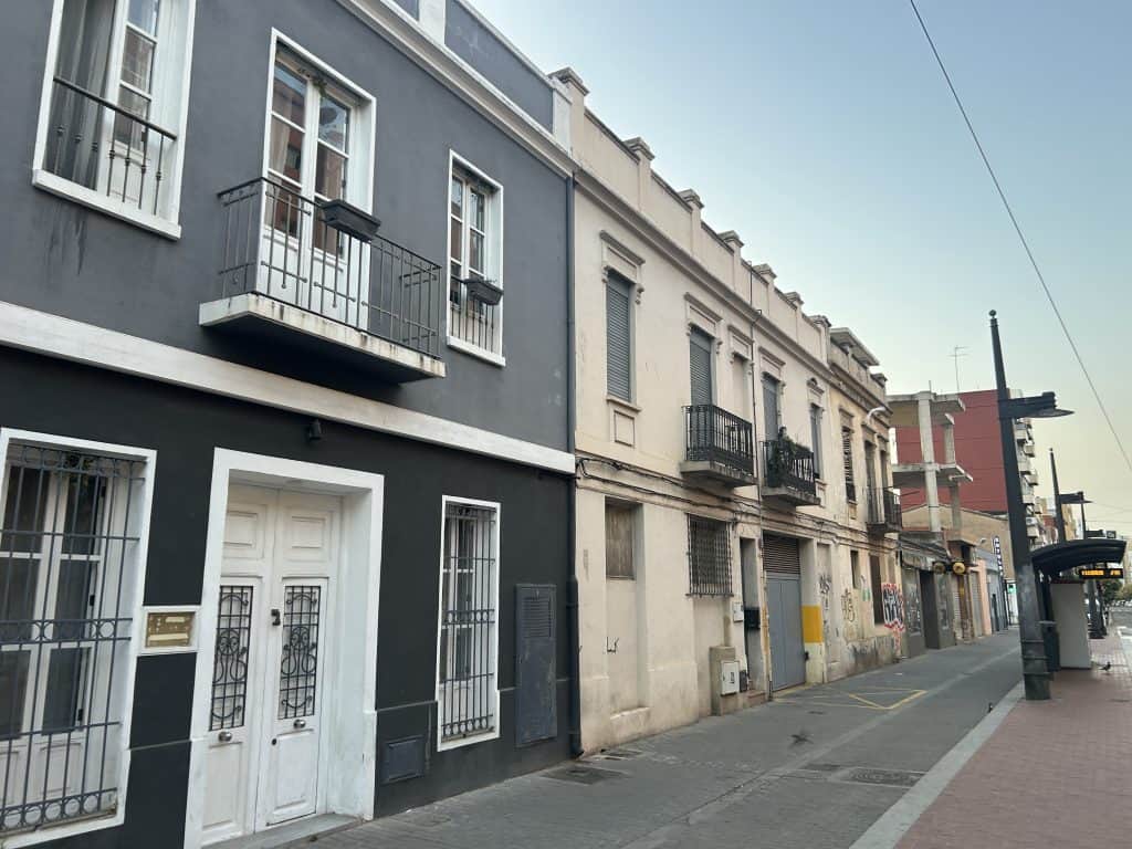
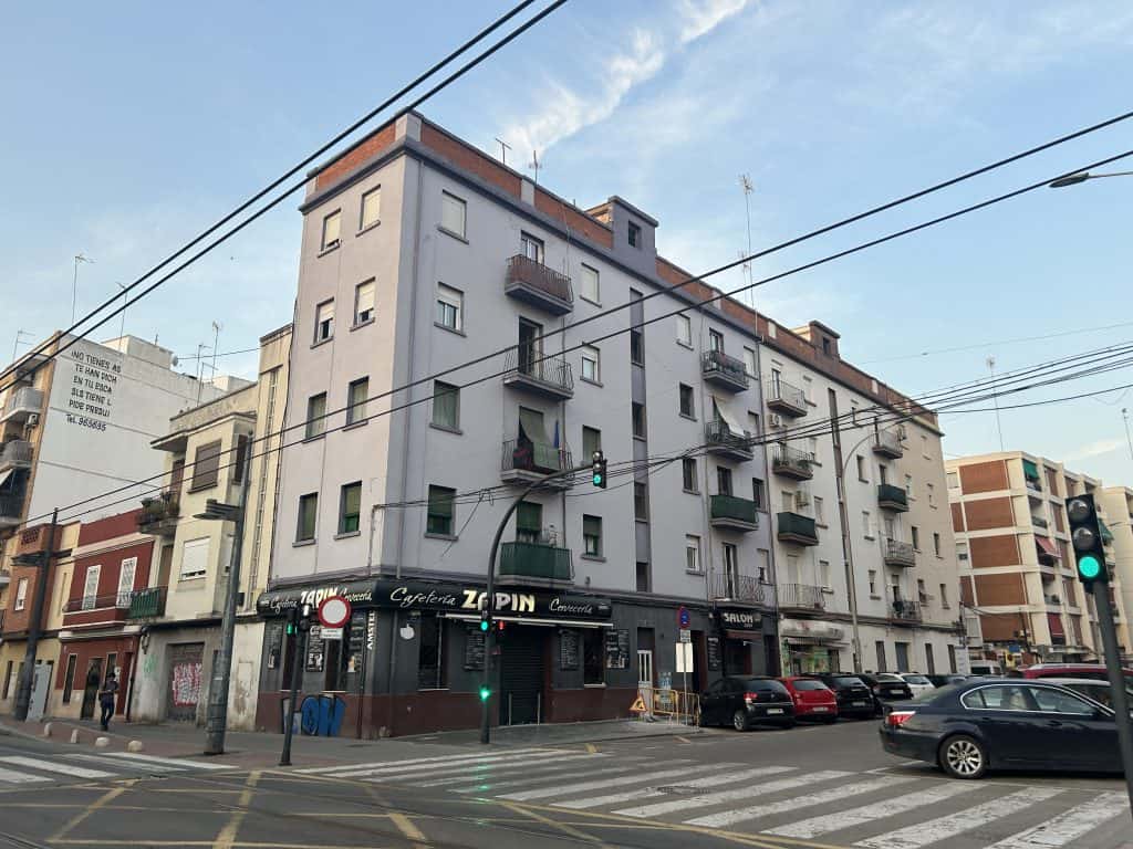
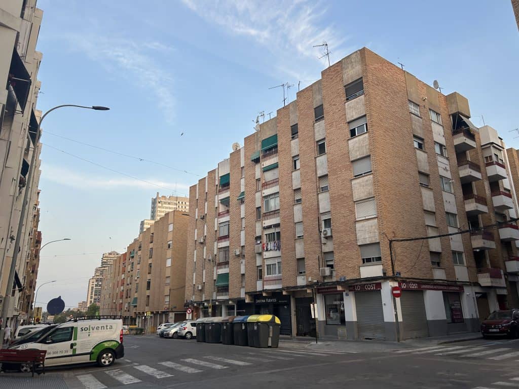
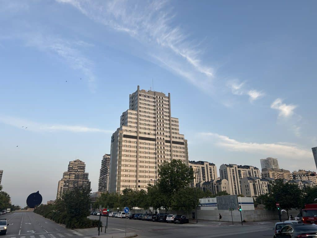
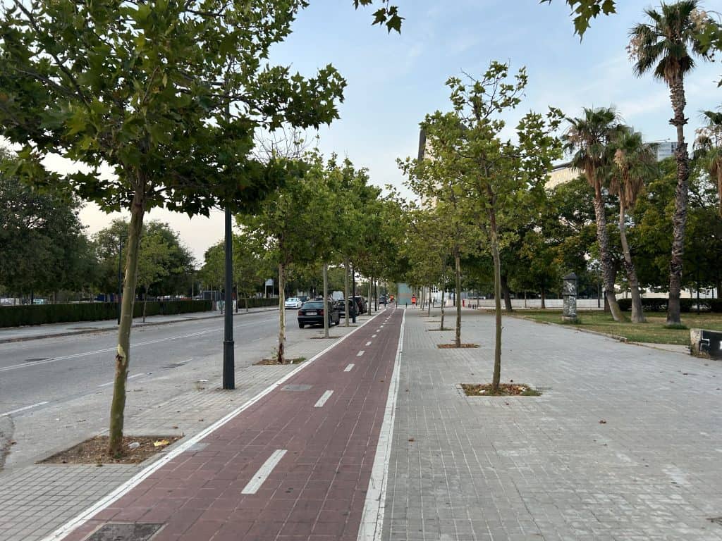
Benicalap is a district in the northern part of Valencia, Spain. It is a primarily residential area composed of apartment blocks, local shops, and public green spaces. A visit here provides a look into the daily life of Valencia, separate from the main tourist areas in the city’s historic center or along the coast. The district contains two main neighborhoods: Benicalap and Ciutat Fallera.
The area’s identity is shaped by its past as an independent village and its present as a diverse, populated district. Benicalap does not contain major historical monuments like the old town. Instead, it offers a chance to see a functioning residential part of the city. It combines older, more established zones with areas of new development, providing a more complete picture of Valencia’s urban landscape.


A Short History of Benicalap
The history of Benicalap charts its course from a rural Moorish settlement to an independent village and finally to its integration into the urban fabric of Valencia. Its development reflects the outward expansion of the city during the 19th and 20th centuries. The area’s agricultural past and its eventual urbanization define its story.
Moorish Origins and Independent Village
The history of Benicalap begins long before it was part of Valencia. Its name originates from the Arabic period, likely from the term Bani Jalaf, which refers to a family or tribe. For centuries, it was a small agricultural community of Moorish origin, known as an alquería, on the fertile plains surrounding the city. It later existed as an independent village with its own church and town hall. Its economy was based on the orchards and market gardens that covered the land.
Annexation and Urban Growth
In 1872, the village of Benicalap was officially annexed and became part of the growing city of Valencia. This marked the beginning of its transformation from a rural to an urban area. For several decades, it maintained its village-like character while the city slowly expanded northward. Its proximity to the city center and the industrial areas along the coast made it a logical place for future development as Valencia’s population grew.
20th-Century Development
During the 20th century, the fields and orchards that surrounded Benicalap were gradually replaced by housing. The area grew rapidly, particularly in the mid-to-late century, welcoming new residents from other parts of Spain. This expansion transformed Benicalap into the large working-class district it is today. While it is now fully integrated into Valencia, it still maintains a sense of local identity and community, with some areas retaining a more traditional town feel.

Things to Do and See
Benicalap’s points of interest reflect its character as a residential neighborhood. The main attractions here are not ancient buildings but large public spaces and modern landmarks. These are places where local families gather and where the city’s recent development is clearly visible.
Parque de Benicalap
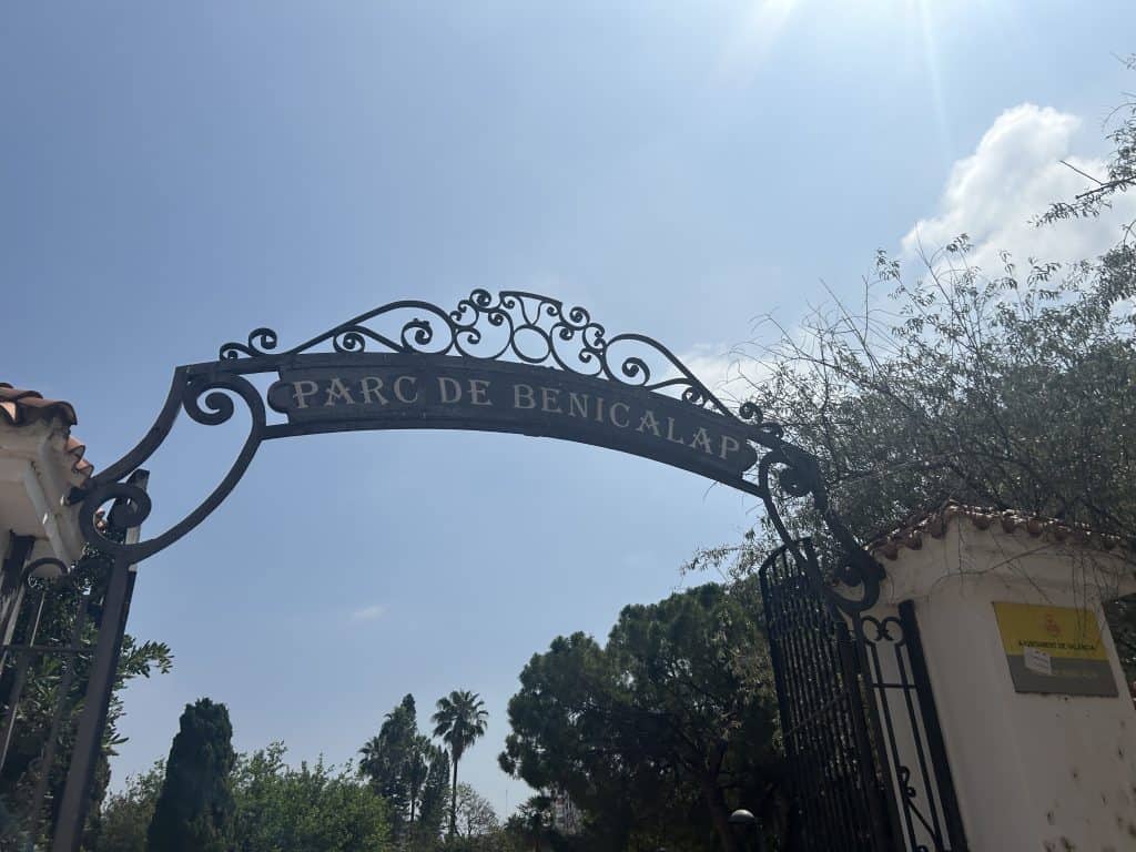
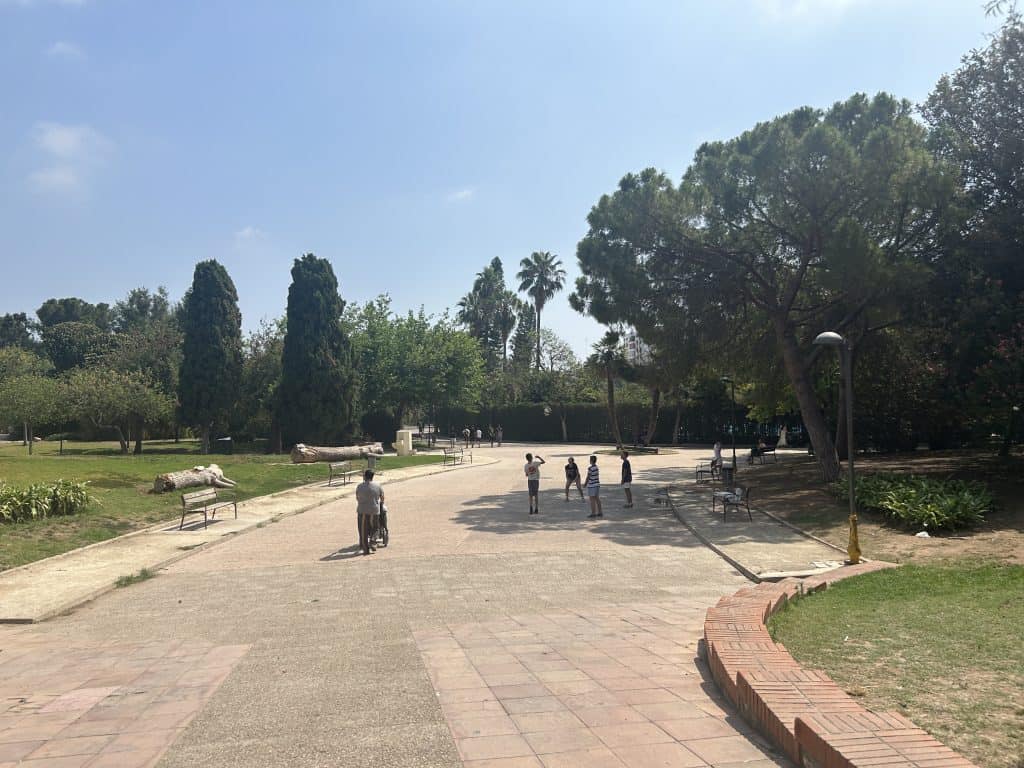
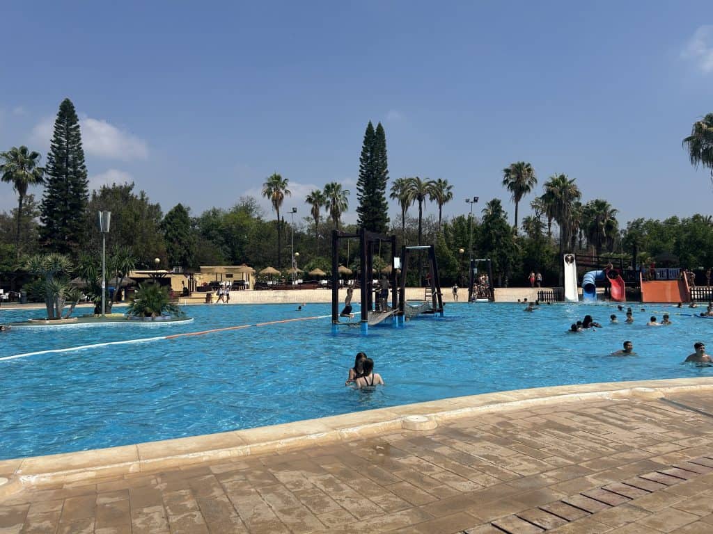
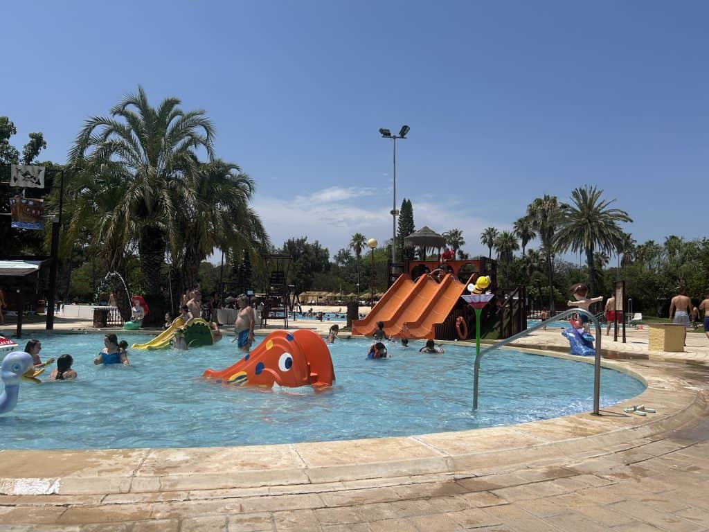
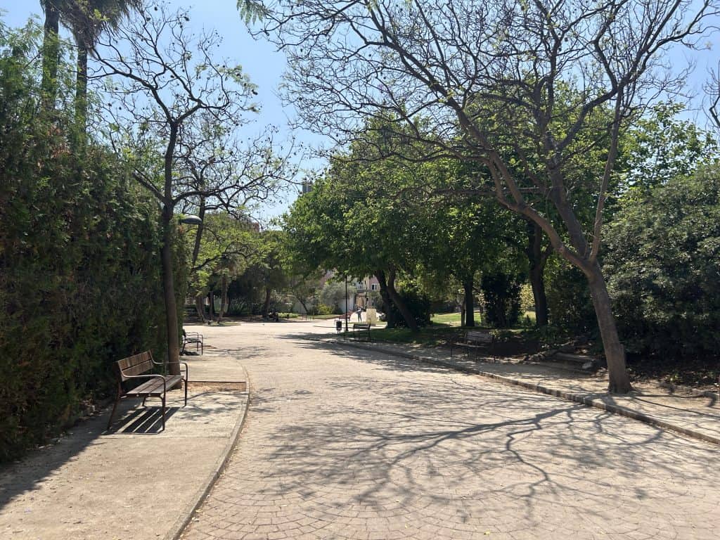
The Parque de Benicalap is one of the largest public parks in Valencia. It is a primary green space for residents throughout the northern districts of the city. The park features extensive gardens, sports facilities, and space for walking and relaxing. Its most known feature is a large public swimming pool complex with water slides, which is a major attraction during the summer months. The park serves as a green lung for the neighborhood, offering a vital space for leisure.
Nou Mestalla Stadium
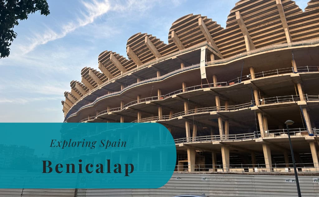
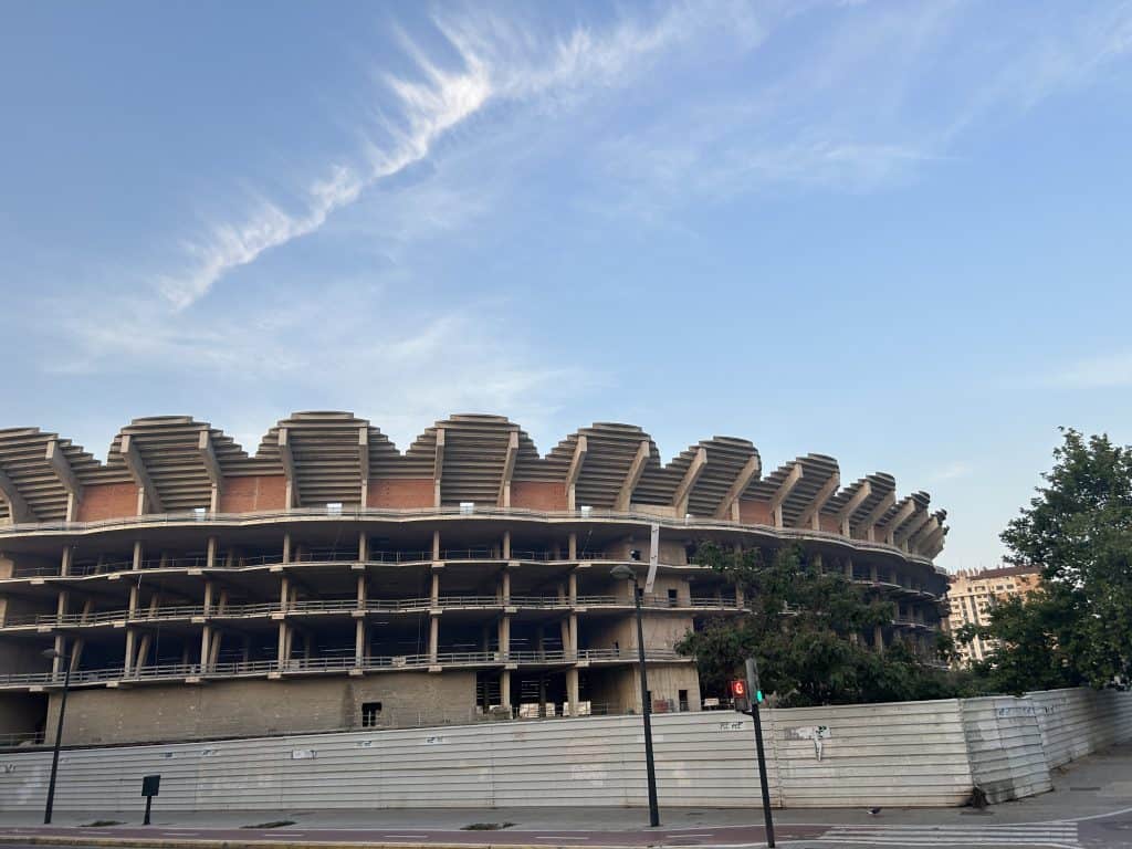
A significant feature of the neighborhood’s skyline is the Nou Mestalla. This is the large, unfinished football stadium intended for Valencia CF. Construction began in 2007 but was halted several years later due to financial issues. The concrete skeleton of the stadium has become a permanent and unusual part of the local landscape. The structure is a frequent topic of conversation and stands as an unintentional landmark of modern ambition and economic challenges.
Palacio de Congresos
Located on the border of Benicalap is the city’s conference palace. The Palacio de Congresos de València was designed by the architect Norman Foster and was inaugurated in 1998. It is a key example of modern architecture in Valencia. Its curved roof, supported by large columns, and its glass facade are its main exterior features. While technically just outside the neighborhood, its presence strongly influences the area’s development and character.
Mercado Municipal de Benicalap
The Mercado Municipal de Benicalap is the traditional covered market that serves the neighborhood. Like other local markets in Valencia, it is a central point for daily life and commerce. Inside, vendors sell fresh produce, meat, fish, and other goods. The market is housed in a functional building from the 20th century. It offers a look into the local shopping habits of the district’s residents, separate from the larger, more tourist-oriented markets in the city center.
Polideportivo de Benicalap
The Centro Deportivo Municipal Benicalap is the main municipal sports center for the district. This large complex provides a wide range of facilities for local residents. It includes indoor courts for sports like futsal and basketball, a gymnasium, and outdoor sports pitches. The center is a hub for local sports clubs, youth training programs, and individual fitness activities. It plays a key role in the social and recreational life of the community.




How to Get to Benicalap
Benicalap is located northwest of the city center and is accessible via public transport. Valencia’s transport system provides several reliable connections to the neighborhood, making it reachable from the historic center and other key transport hubs.
Connecting via the City Network
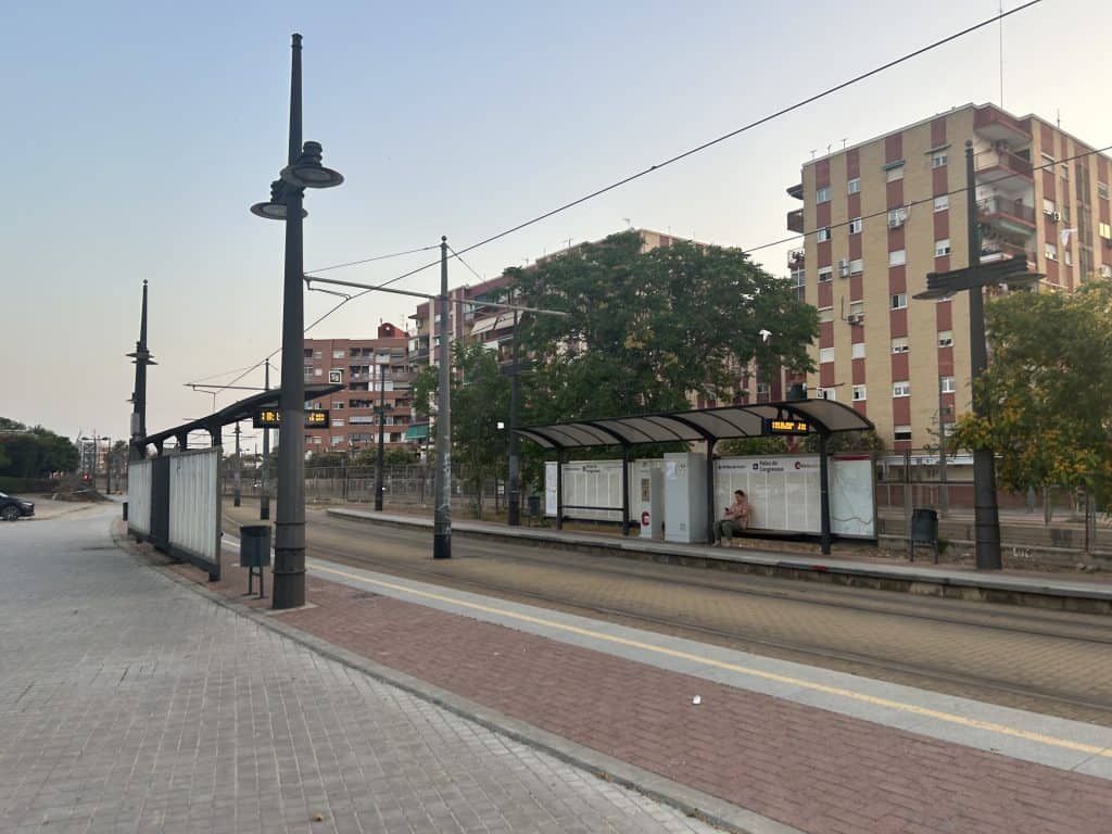
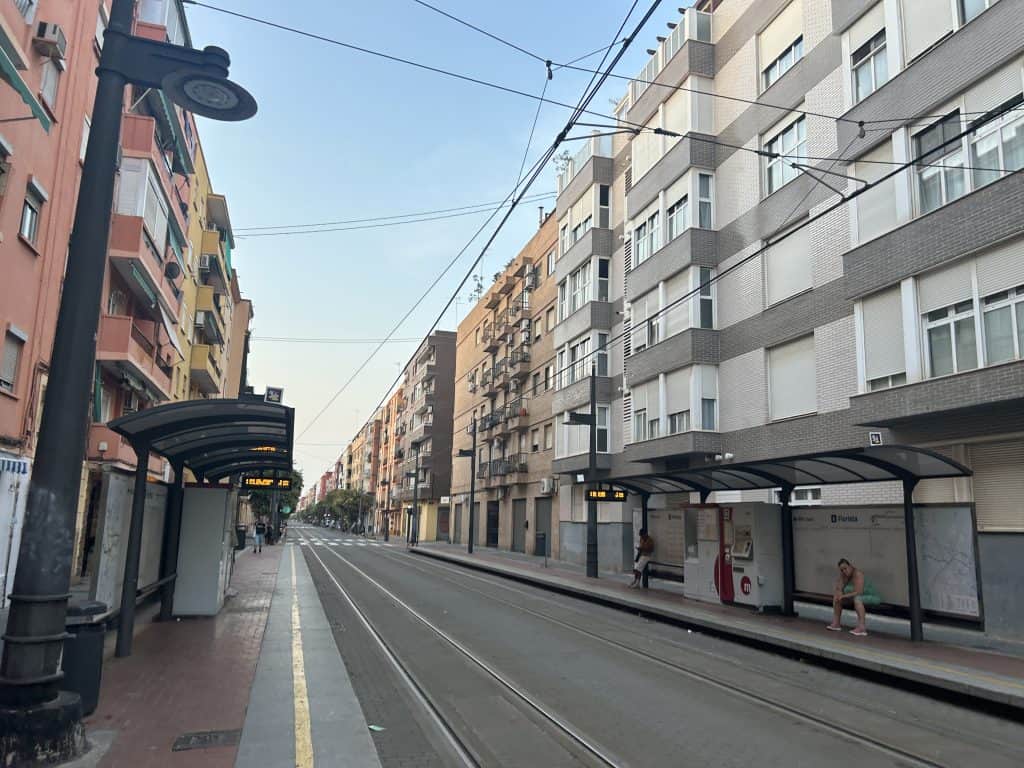
The most direct way to reach Benicalap by public transport is by using the Metrovalencia system. Tram line 4 runs directly through the neighborhood and has several stops, including “Palacio de Congresos” and “Benicalap.” Multiple city bus (EMT) routes also connect the area with central points like the Plaza del Ayuntamiento and the main train stations. Always check official sources for the most up-to-date ticket information.
An Excursion by Car
Driving to Benicalap is relatively direct compared to the city center. Major avenues like the CV-30 ring road run alongside it, providing easy access from other parts of the city and the main motorways. Finding on-street parking here is generally less difficult than in the historic center, especially in the more modern parts of the neighborhood.
From Major Hubs to the Barrio
From Valencia Airport (VLC), a taxi provides the most direct route. By public transport, you can take the metro and connect to tram line 4 at a station like “Empalme.” From the main train stations, Estació del Nord and Joaquín Sorolla, the city bus or metro network offers frequent connections to the area. This usually requires one transfer to a tram or bus line heading north.
Driving Distances
The driving distance from 10 regional cities, according to Google Maps:
- Zaragoza, Spain – 340 kilometers (3 h 30 min)
- Barcelona, Spain – 350 kilometers (3 h 40 min)
- Madrid, Spain – 352 kilometers (3 h 40 min)
- Bilbao, Spain – 618 kilometers (6 h 10 min)
- Seville, Spain – 654 kilometers (6 h 40 min)
- Toulouse, France – 706 kilometers (6 h 40 min)
- Lisbon, Portugal – 893 kilometers (8 h 30 min)
- Geneva, Switzerland – 1,021 kilometers (10 h 00 min)
- Paris, France – 1,355 kilometers (13 h 00 min)
- Rome, Italy – 1,489 kilometers (14 h 50 min)
Looking to Explore more of Spain and Europe?